2011/01/13 Leveraging the anticyclone and temperatures spring in the Central Zone, we resumed our ascents in MOUNTAIN BIKE, this time by the Sierra de Malagon, belonging to the western Guadarrama. Cordal
travel the Sierra de Malagon located between the municipalities of Las Navas del Marqués and Navalperal of Pine, located on the southern slope of the mountain, taking advantage of the tracks that serve the existing wind farm on the ridge itself.
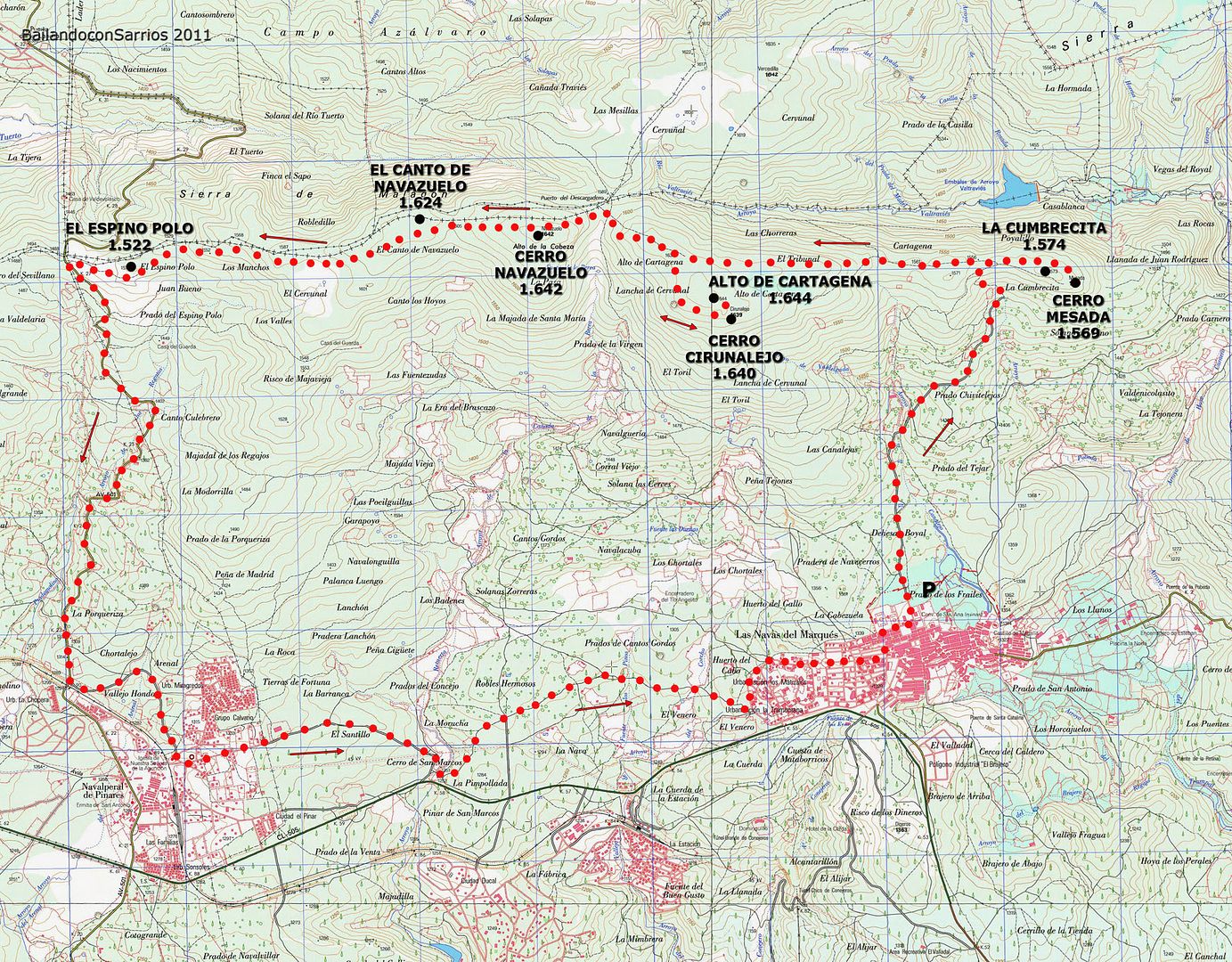
During our activity in Mountain Bike, striking out the following dimensions and geodetic vertices:
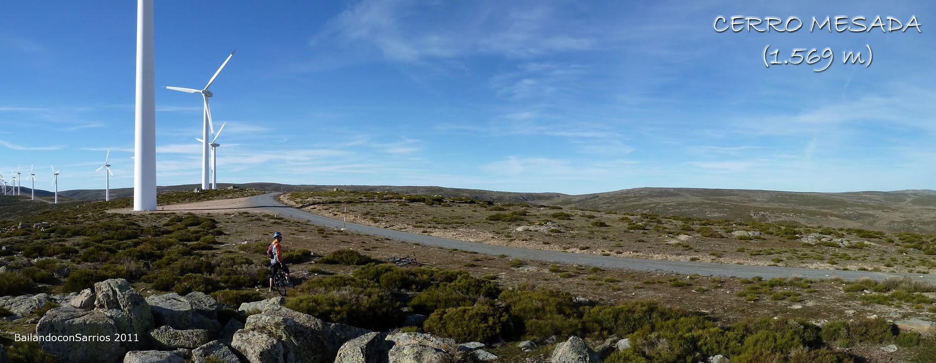
- CERRO COUNTER (1,569 m)
- LA CUMBRECITA (1,574 m)
- CERRO CIRUNALEJO (1,640 m)
- ALTO DE CARTAGENA (1,644 m )
- CERRO NAVAZUELOS (1,642 m)
- THE SONG OF NAVAZUELOS (1,624 m)
- EL ESPINO POLO (1,522 m)
SITUATION
Sierra de Malagon . Western Sierra de Guadarrama. Central System.

POINT
Rear of Polideportivo de Las Navas del Marqués, at the end of Elder's Crossing.
From the roundabout at the entrance of Las Navas del Marqués the CL-505 highway, take the first exit and at next roundabout, take the left exit for Descargadero Avenue. Continue to the end of the avenue to turn right and continue on this road until you reach the back of the Sports Center of Las Navas del Marqués. At the junction of this street with the crossing of the track begins Elder serving the wind farm and where you can park your car.
To get to Las Navas del Marqués (Ávila), see REPSOL GUIDE.
MAPPING
West Sierra de Guadarrama and Pine Land 1:50.000. Editorial La Tienda Verde.
MAP
Wikiloc MAP
SUMMARY
ACTIVITY: Mountain Bike
DIFFERENCE: 650 meters (+/-)
TOTAL DISTANCE: 30 km.
TOTAL TIME: 04:00 hours.
DIFFICULTY: 95% + 5% Lower Media.
WATER: You can not take water at any point on the course.
GPS TRACK LOG
Click on this link: 20110113 CERRO WikiLoc COUNTER - CIRUNALEJO HILL - HILL NAVAZUELOS
ASCENSION
From roundabout at the entrance of Las Navas del Marqués, take the first and exit right at the next roundabout, exit left puts us in the Avenida del Descargadero we follow until the end of it where you turn right ...
... the street that takes us to the back of Sports.

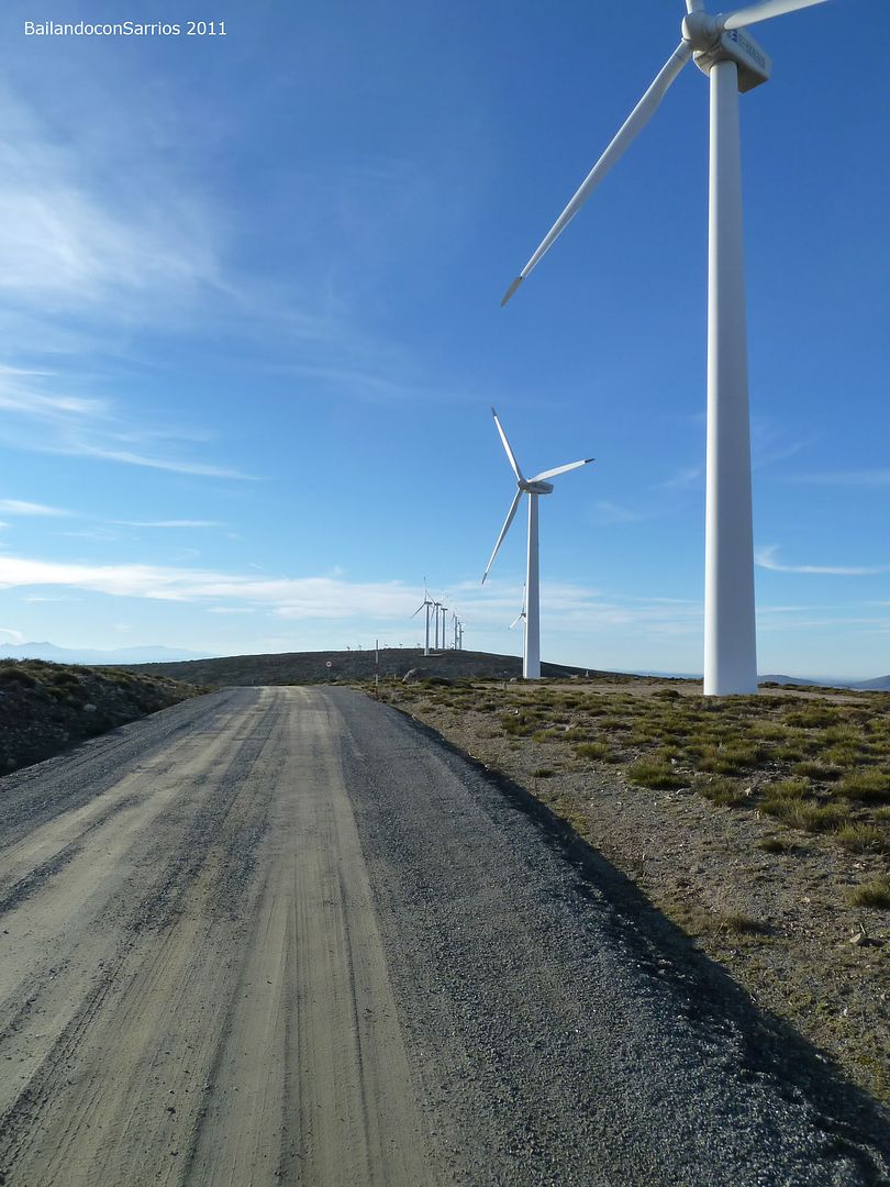
Continuing along this road we reach the junction with Elder's Crossing, where the track begins serving the existing wind farm in the tailpiece of this area of \u200b\u200bthe Sierra de Malagon ...
... clearly visible from here ...

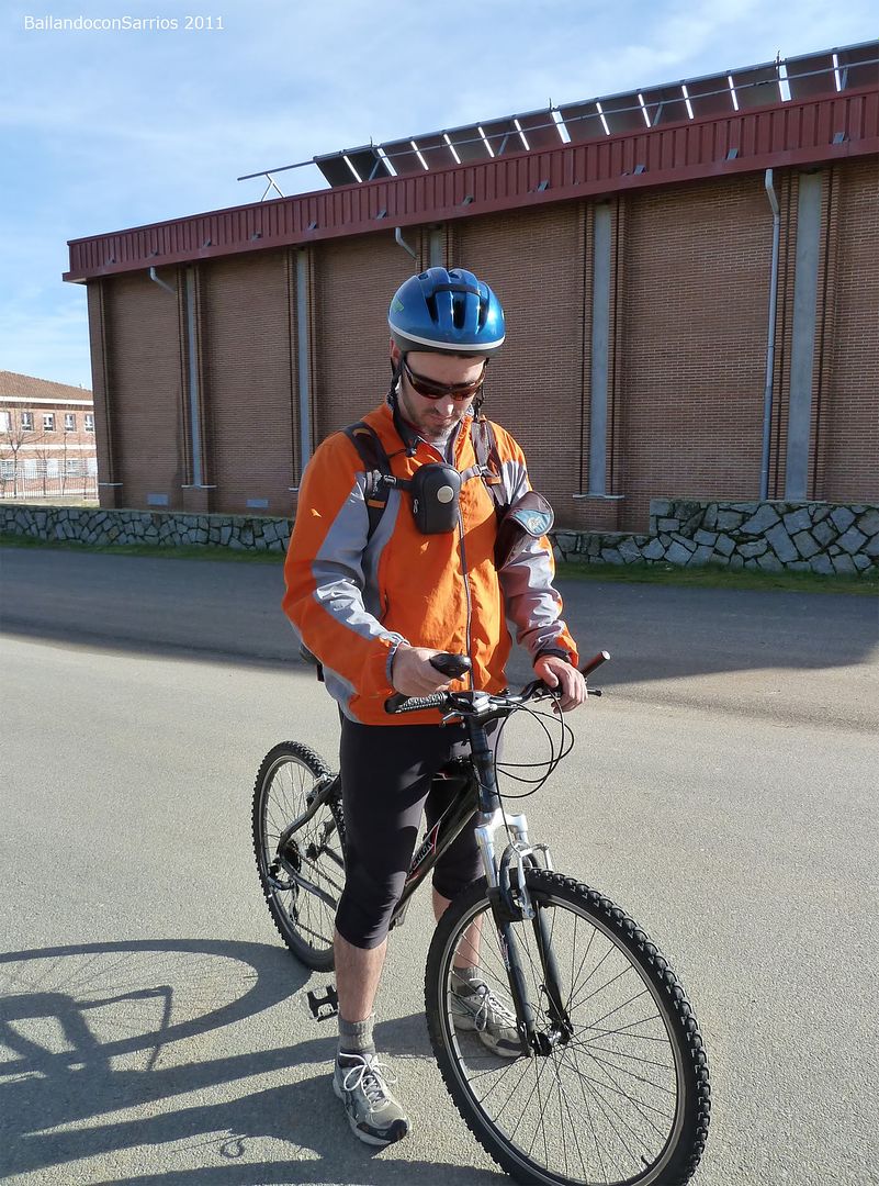
... final adjustments to our climbing companions.

At
15:10 we are ready to begin the climb up the ridge with a temperature almost summer despite being in the month of January ...
... the GPS ...
... we started the climb ...

... large herd of sheep ...

... the lone paved road ...

... the height of the Water Treatment Station ...

... Mane has disappeared ...
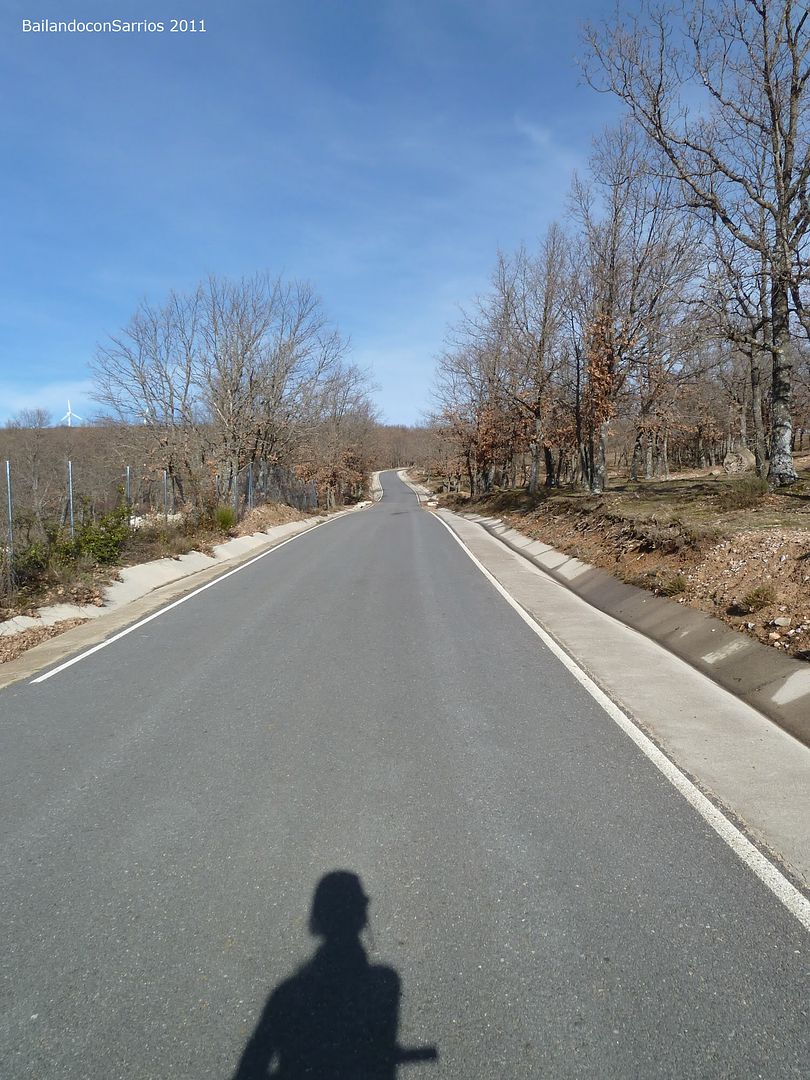
... in the company of naked Quercus pyrenaica ...

... during the ascent ...

... the ridge nearby.

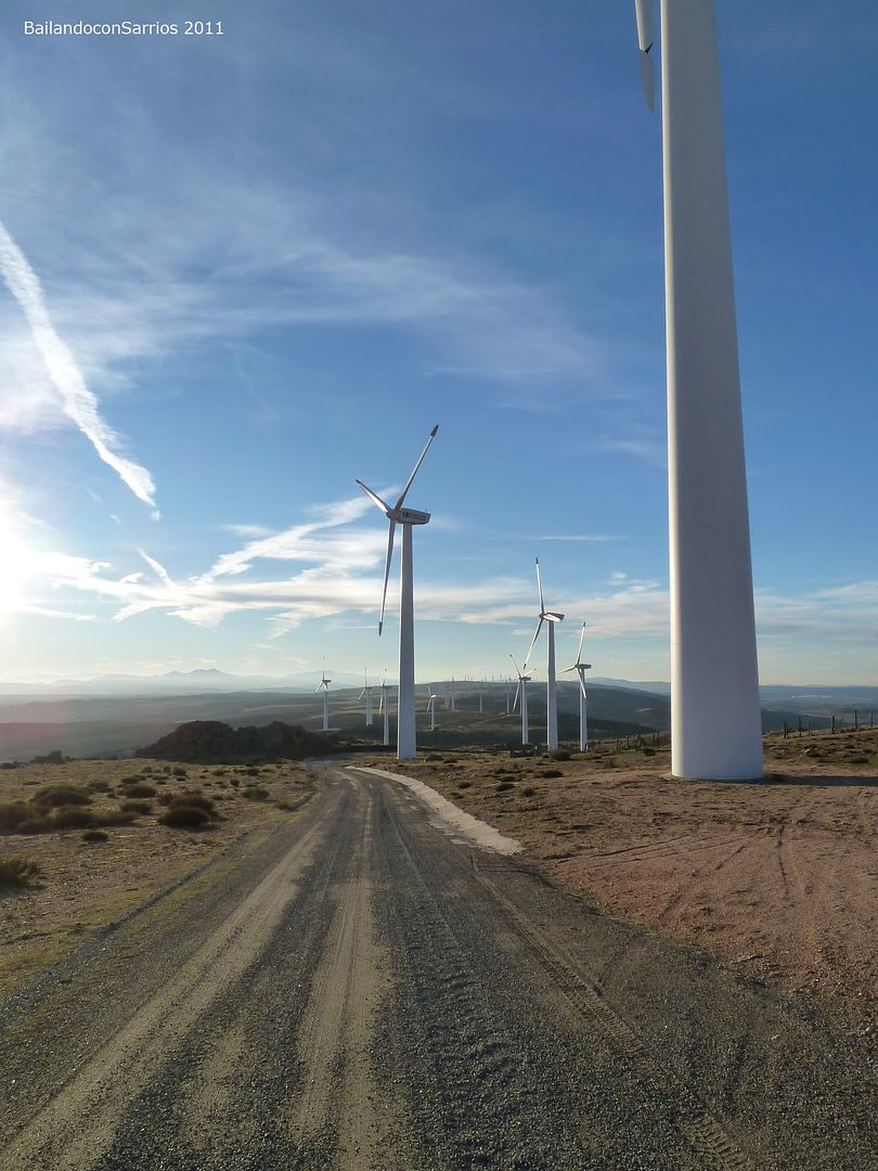
few meters further up, left the paved road and continue along a dirt track that climbs to the top of the ridge ... the asphalt road continues towards Valtraviés Creek Reservoir ...
... the track in perfect condition ...
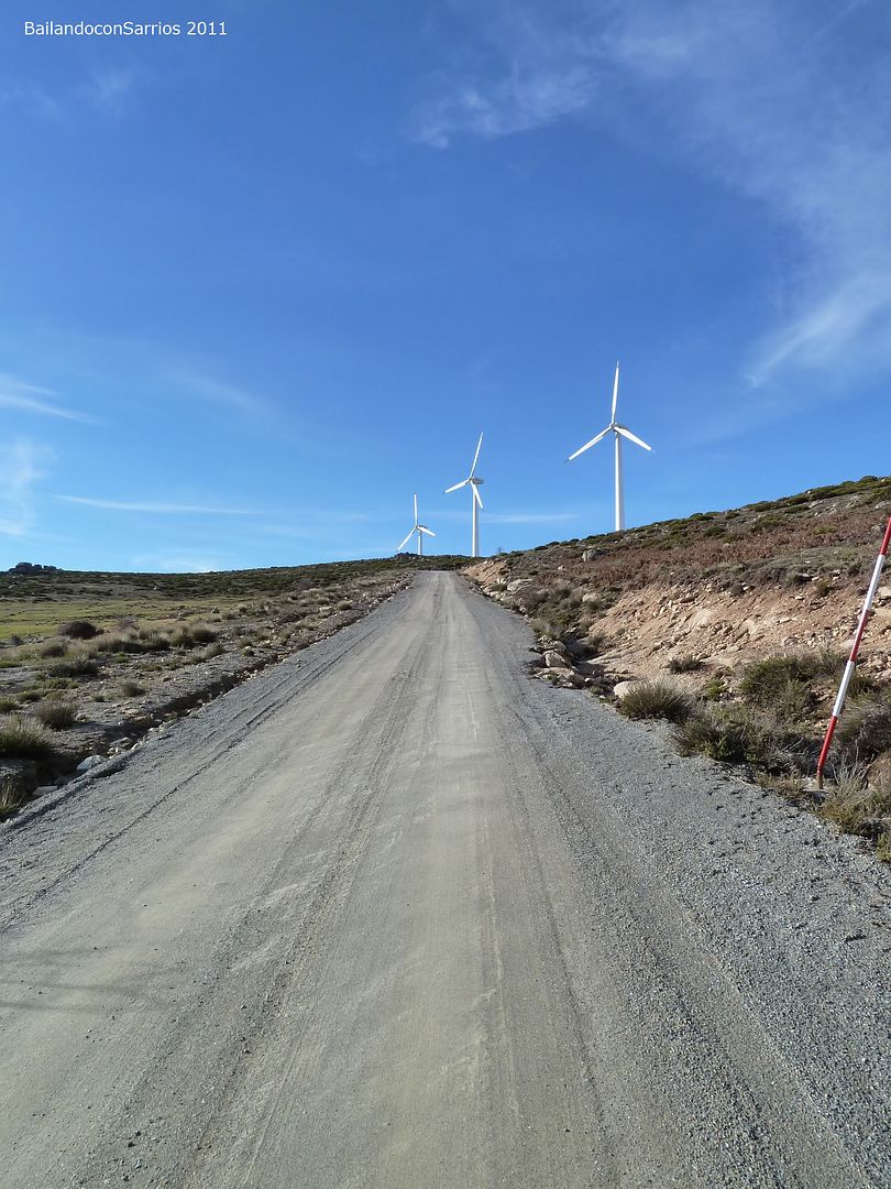
... wind ...

... a look back from here.
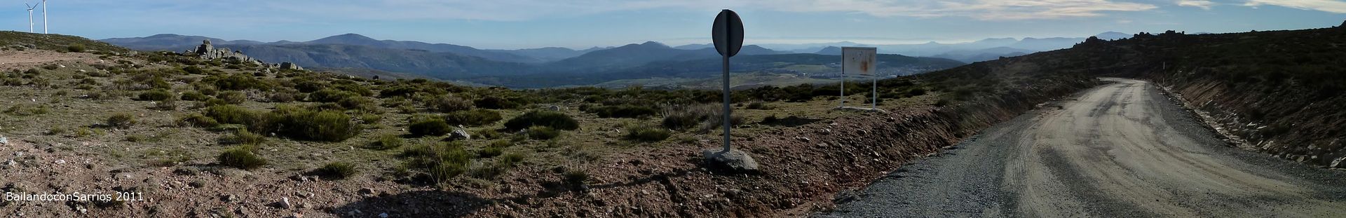
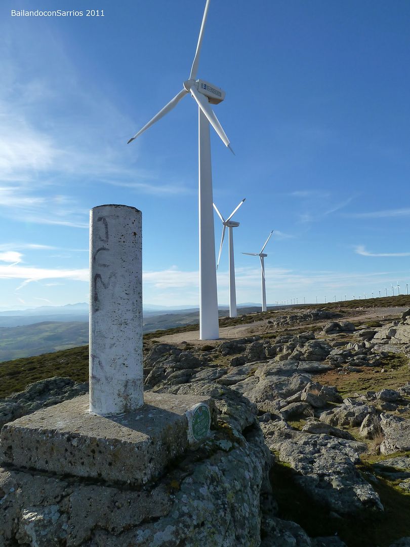
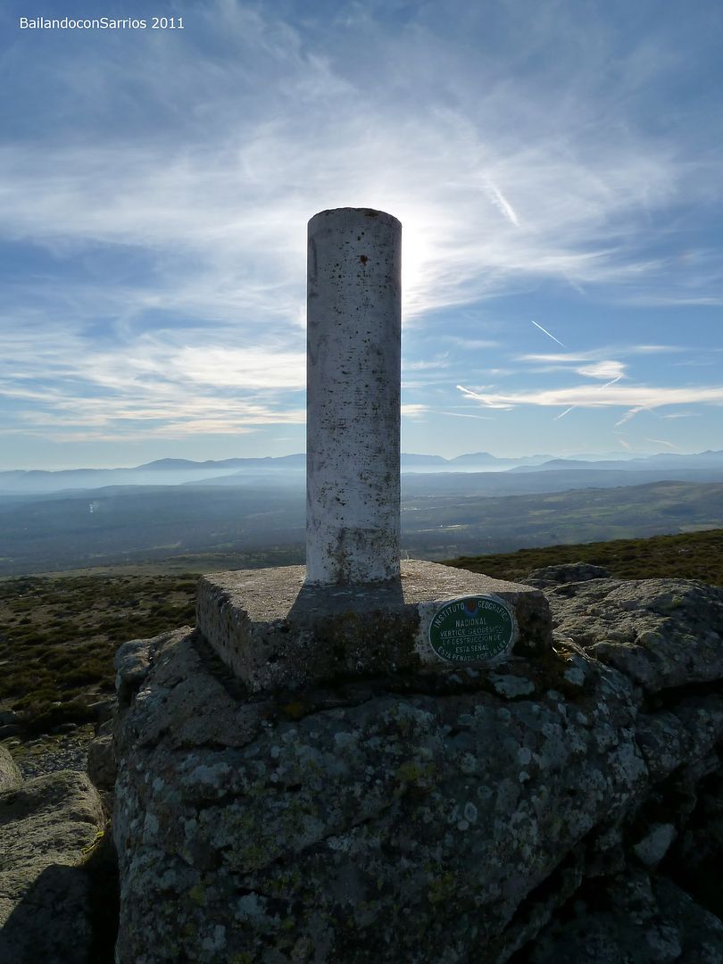
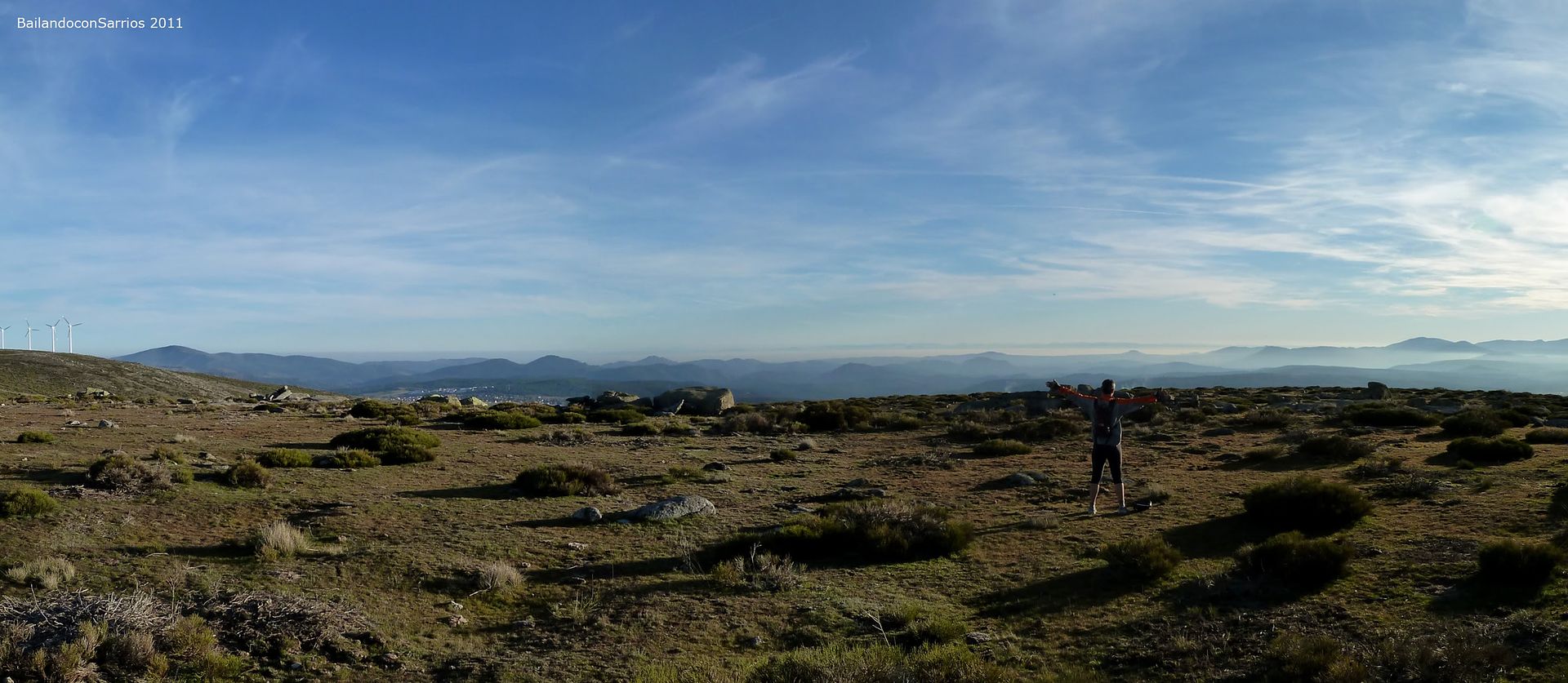
From the point of access to the ridge, continue heading east in search of Cerro Countertop, the first summit of the day where there is a trig ...
... interesting landscape ...
... rising again ...
... up to the Cerro Countertop ...

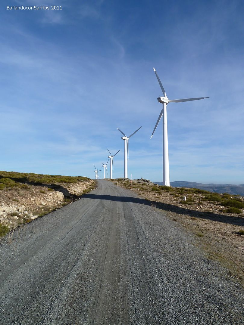
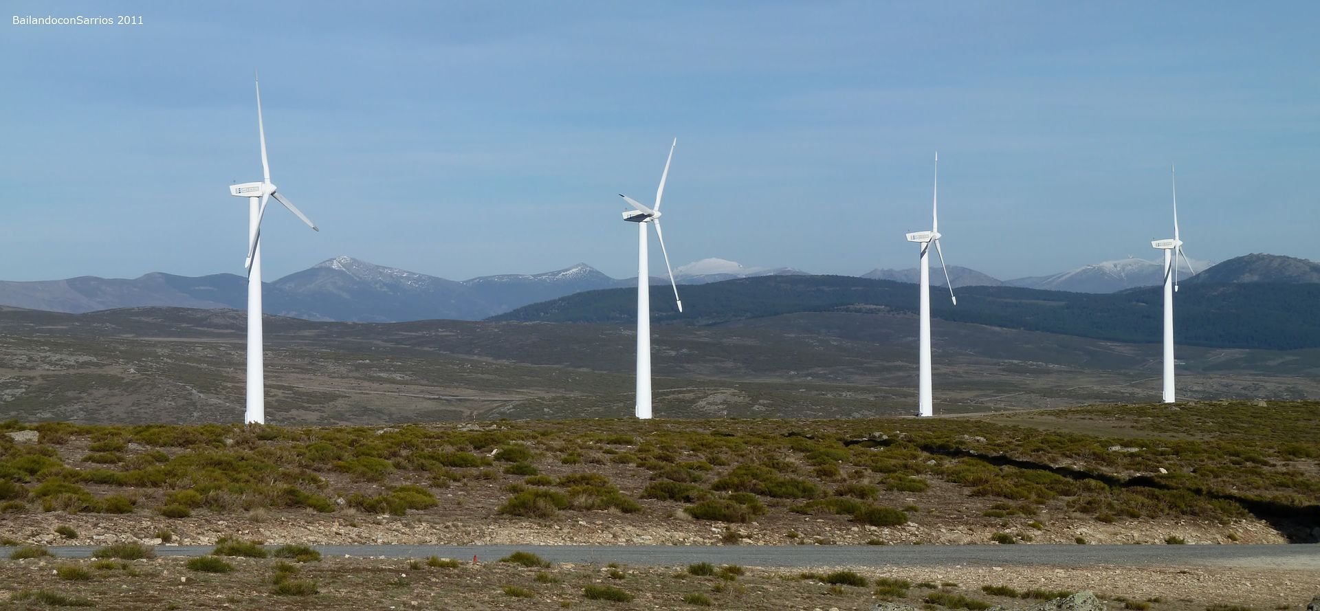
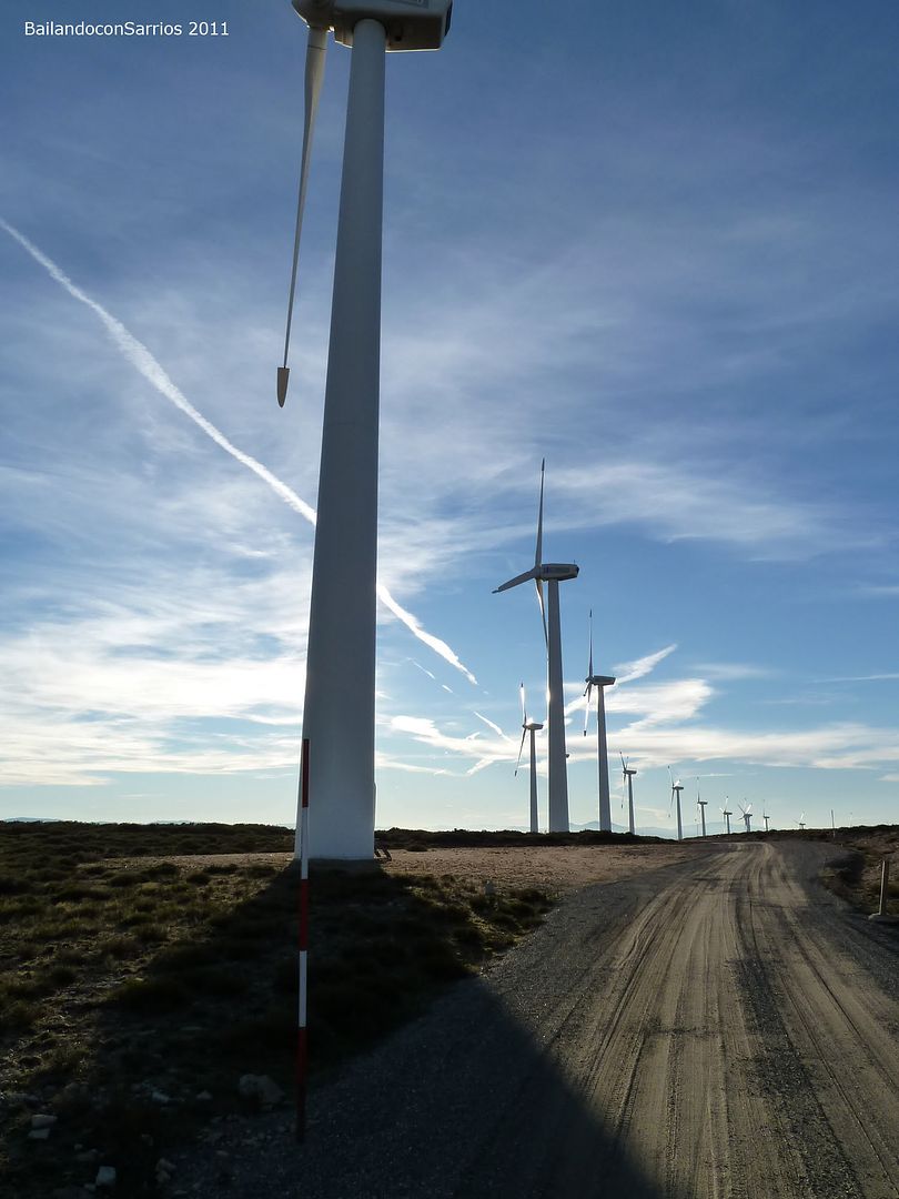
... the long ridge that will cross soon ...

... with windmills "...

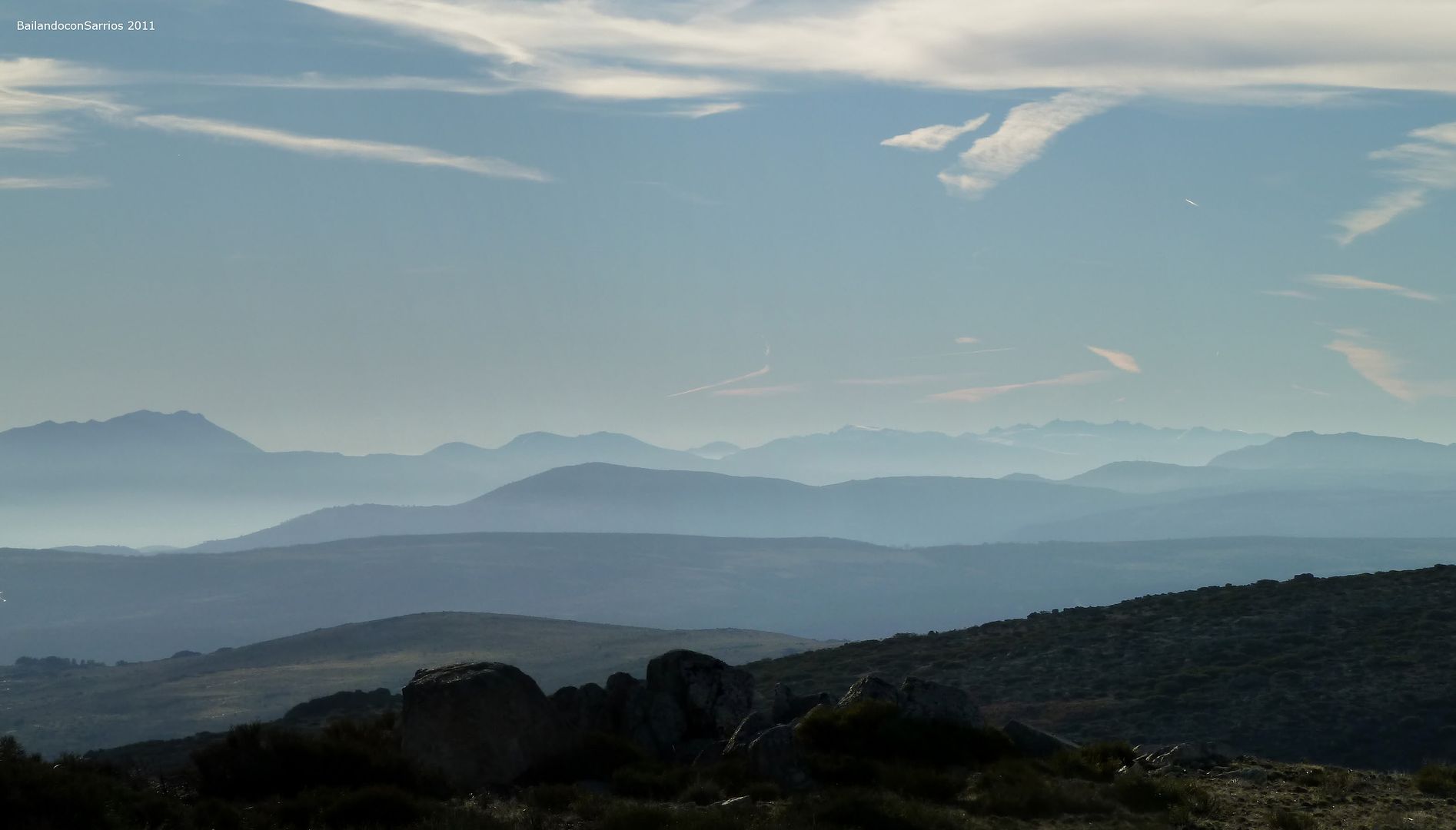
... Eastern Gredos Massif presides over the panorama to the south ...

... my turn in the trig ...

... while the modest BRAVE CAVE watching us.

Cima del Cerro
Countertop (1,569 m).
is time to resume the march ...

... and say goodbye to the Cerro Mesada.

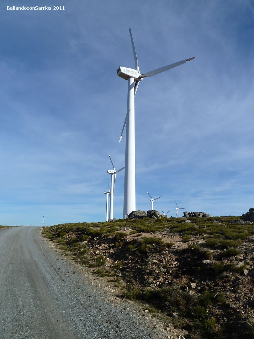
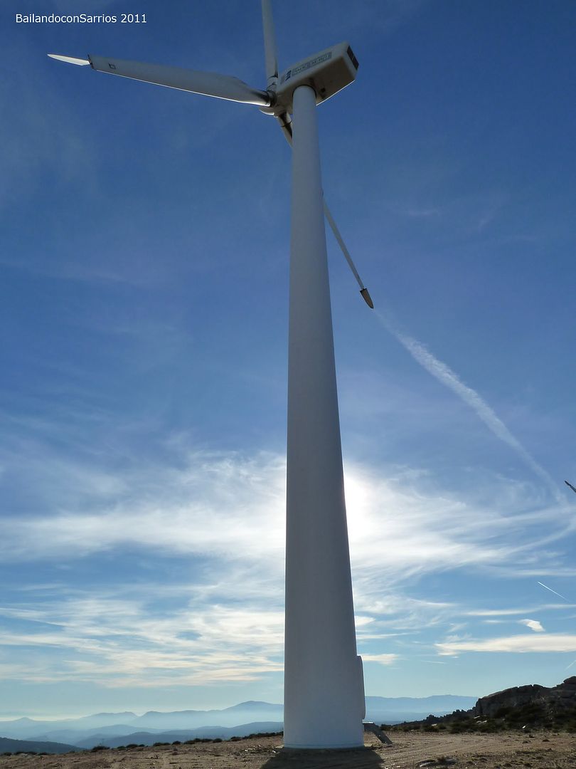
Despite the existence of geodesic, the highest point of this part of the tailpiece is not the Cerro Countertop but hardly a relevant dimension which lies a few yards northwest of the summit, called The Cumbrecita. ..
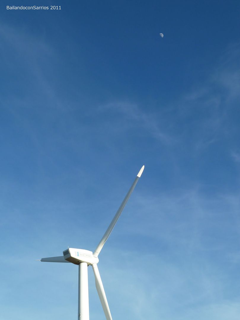
... at the foot of the turbine.

Top of The Cumbrecita (1,574 m).

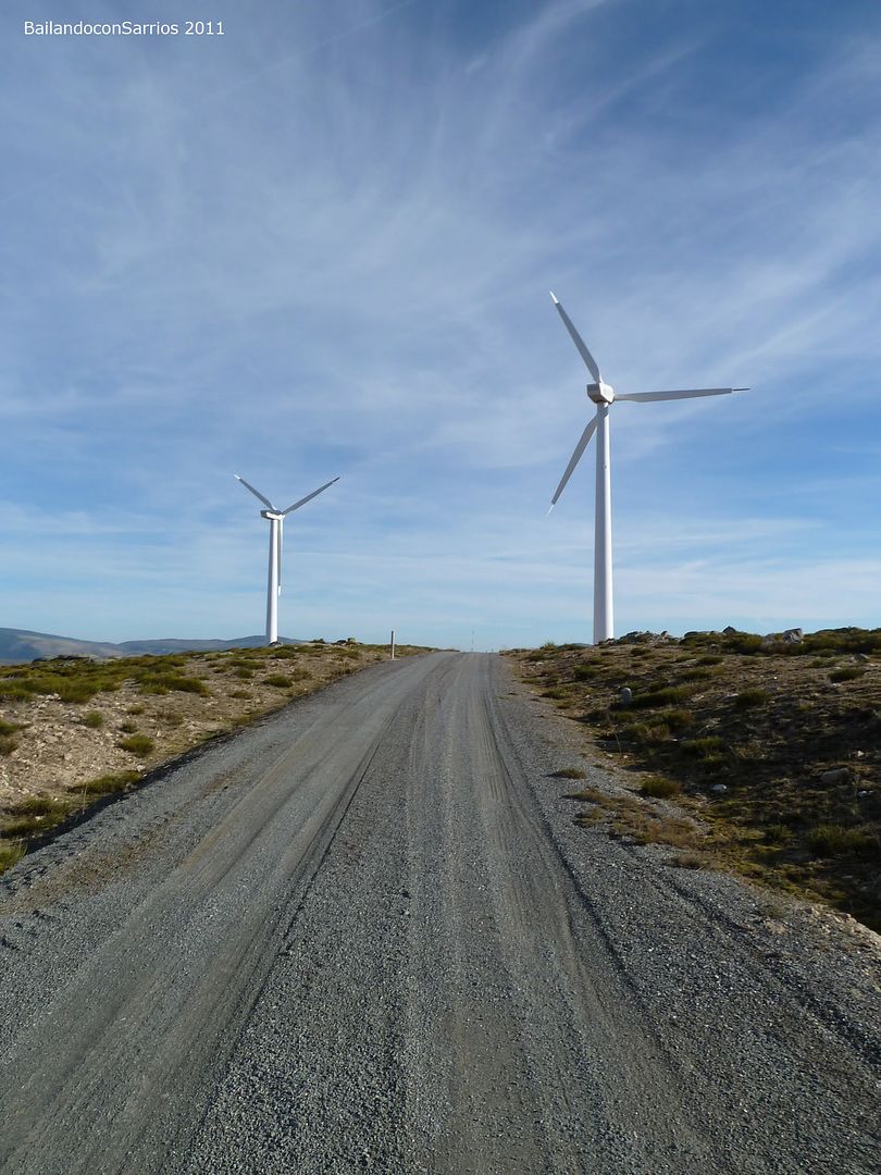
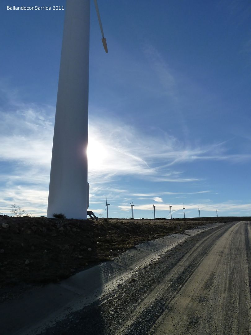
The ridge from the second "summit" of the day ...

... back on track ...

... stopped by lack of wind in the day today ...
... distributed throughout the ridge ...

... rising ...

... Weird pictures on this Winter Spring ...
... crossing the wind farm.
Continuing along the ridge reached the fork that goes to the Hill Cirunalejo located southward on the main ridge ...
... track toward the third vertex of the day ...

... Mane and again, I have to force him to be the official photographer ...

... way to the trig ...
... located very close to the track ...

... in a strategic ...

... along with the "windmills" ...
... with exceptional views ...
... Guadarrama distant ...

... a little closer ...
... PEÑALOSA , and SEVEN HIGH PEAKS OF Guarramillas ...

... the moon has made an appearance.

Cirunalejo Bluff Hill (1,640 m).

Like Countertop Hill, the highest point of the ridge is located a few meters to the NW, in the middle of the ridge, identified as Alto de Cartagena and is the highest point of the day .. . I have to cross it off before I go ...
... I leave the apex ...
... looking for the next "top" ...

... Cerro Cirunalejo is left behind ...

... I have company ...

... I feel observed ...

... these calves look at me strangely ...

... to reach the highest point, not far from the trig ...

... and a little closer Gredos.

Cima del Alto de Cartagena (1,644 m).

Back on track ...

... way to the main runway ...

... I prepare for the descent ...
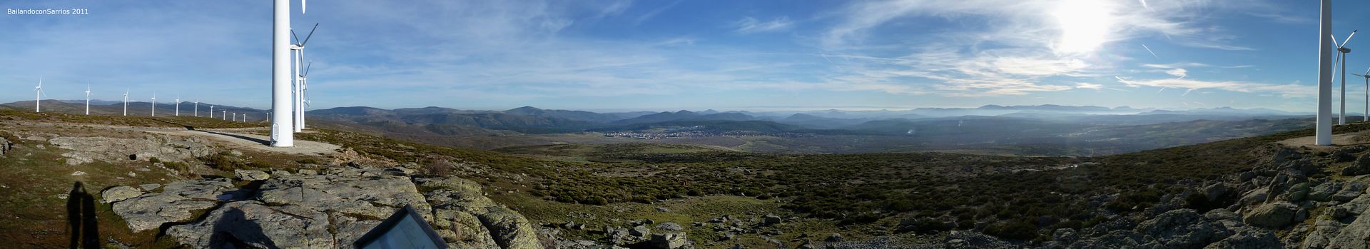
... much of the Massif Central from here ...
... leaving the Port of Descargadero and the existing substation ...

... Cerro NAVAZUELOS is near ...

... where "Don Quixote" is waiting for me watching these peculiar "supersized" ...

... the highest point of Mount Countertop ...

... This moon ...
... "Red handed" in the trig ...

... enjoying the view ...
... the ridge we've come ...

... and the distant Guadarrama.

NAVAZUELOS Bluff Hill (1,642 m).

It's 17:05 pm, I take all the blame, I've immortalized among the photos and delete the existing tops ... no entertainment here, we continue to progress along the ridge in a westerly direction in search of AV-501 road from where we descend to the village of Pine Navalperal ... Once there, return to our starting point in Las Navas del Marques ...
... Dam of baskets ...

... I approach a new level ...

... omnipresent wind ...
... the highest point a few meters from the antenna.

Top of the Song of NAVAZUELOS (1,624 m).

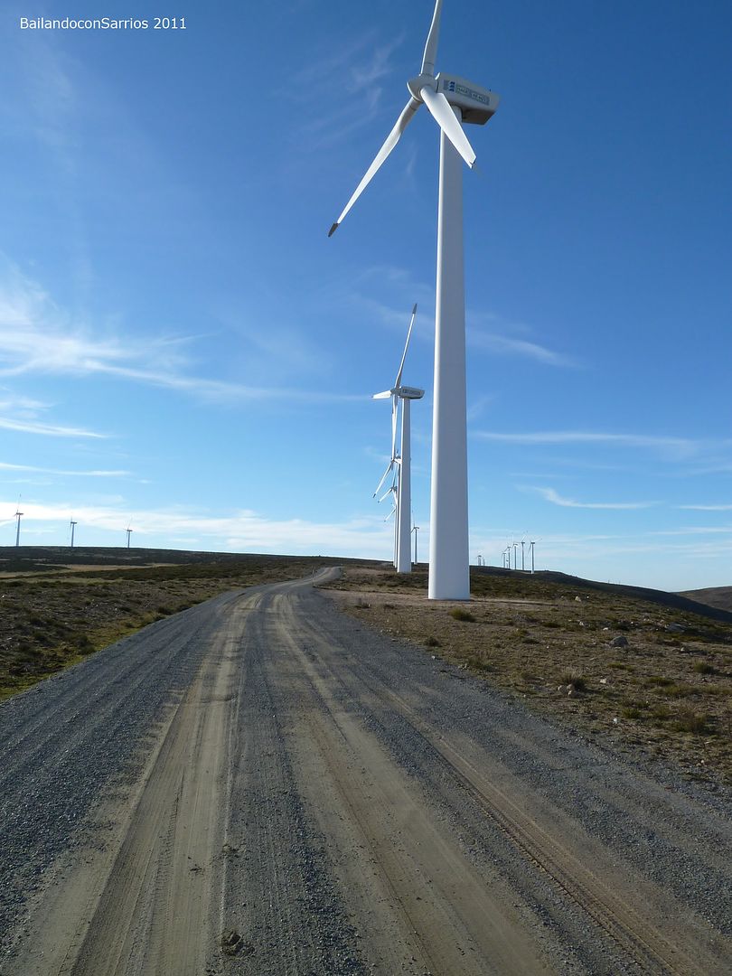
It's time to go ...

... in the shadow of these giants ...

... prolonged fall ...
... in search of the last climb of the day ...

... AV-501 highway is very close ...

... a look at the ridge route from this rocky height.

El Espino Polo Top (1,522 m).

Mane must be at the height of Pine Navalperal so I hasten to descend the service road in search of the AV-501 ...
... I leave the wind farm ...

... important when ice is present ...

... the height of the AV-501 ...

... amounting to Puerto de la Lancha ...

... by which descend towards Navalperal of Pine ...

... as the sun begins its farewell ...

... Luckily there is little traffic on this road ...

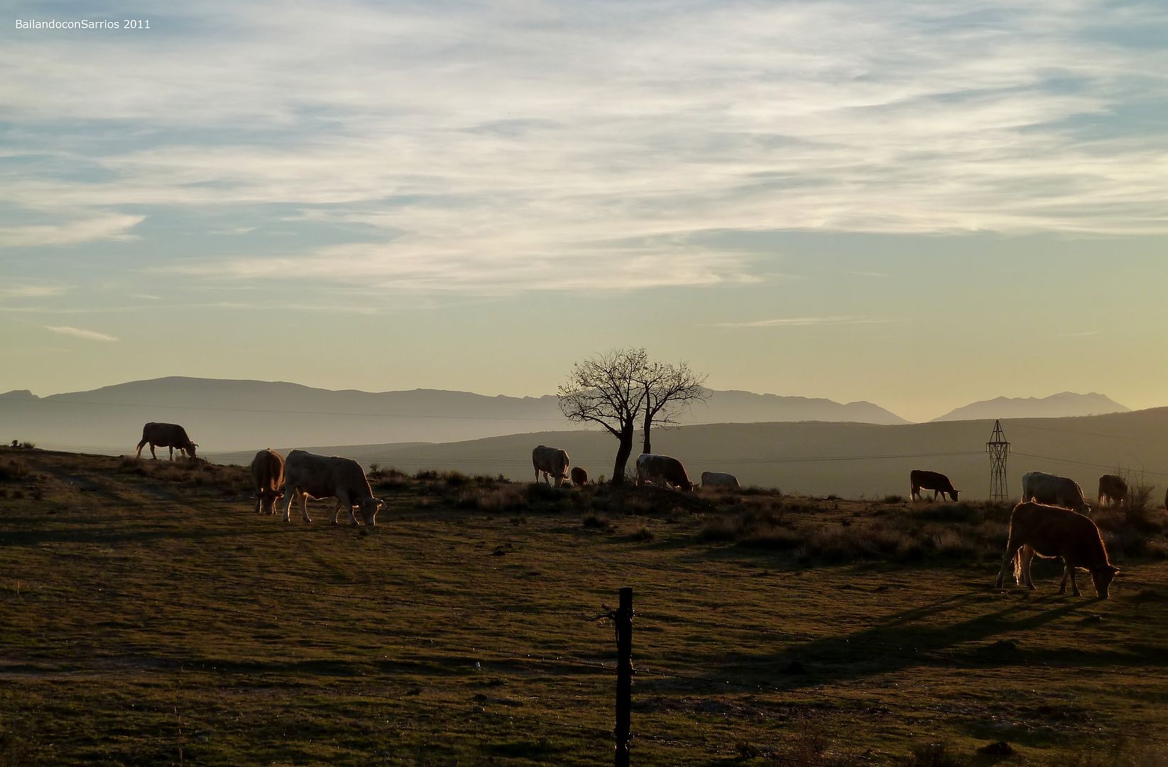
... watching the colors of the sunset ...

... some are already enjoying his dinner ...
... I am looking forward Mane ...

... in the place where we should deviate from the road.

We left the AV-501 to continue along a forest track leading to the Camino Viejo de Las Navas, heading to Las Navas del Marqués, avoiding the busy road linking CL-505 Navalperal of Pine to Las Navas del Marqués. ..
... first meters of the forest path ...

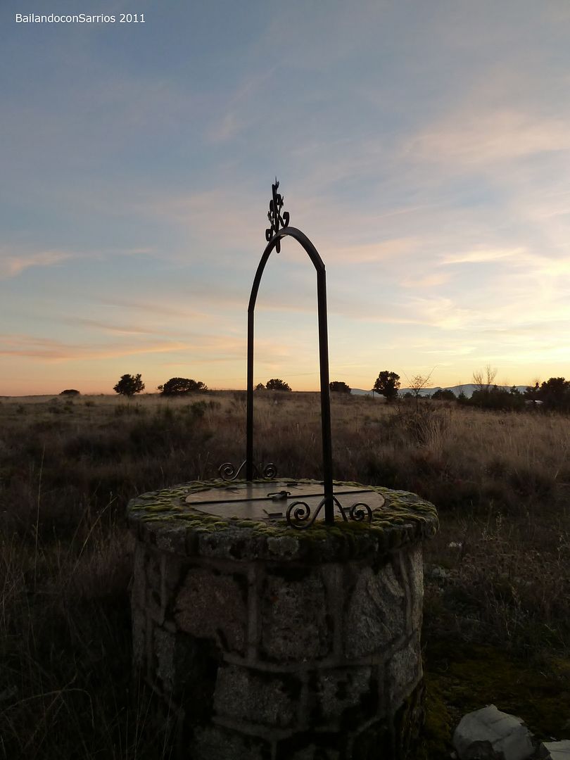
... the last rays of sun ...

... on the horizon ...

... an old well by the way ...
... our starting point and shows ...

... as we contemplate the last light of day.

Without
we entertain visiting the Camino Viejo de Las Navas almost in the dark to reach the Private Matizales Las Navas del Marques ...
... at last civilized area.

Touring the village lit by the dim light of lanterns, we reached the truck at 19:10 hours, while the temperature decreases rapidly.
A new installment of Dancing with Sarrios Productions ...
For other ascents in the Central System, click on this link: INDEX SYSTEMS Ascension.
0 comments:
Post a Comment