2011/02/28
Ni Cantabrian Mountains and Pyrenees, this time we left the south of the Iberian Peninsula where Béticos Systems are the undisputed protagonists.
The Betic Cordilleras or Béticos systems are the forgotten ones of the peninsula against the great mountain ranges of the North, despite being the largest grouping of reliefs in Spain with a length of 600 kilometers.
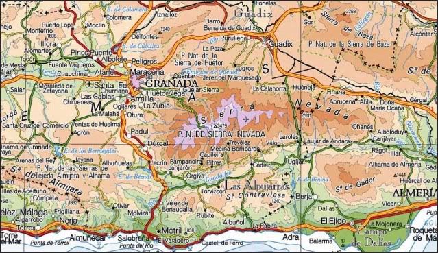
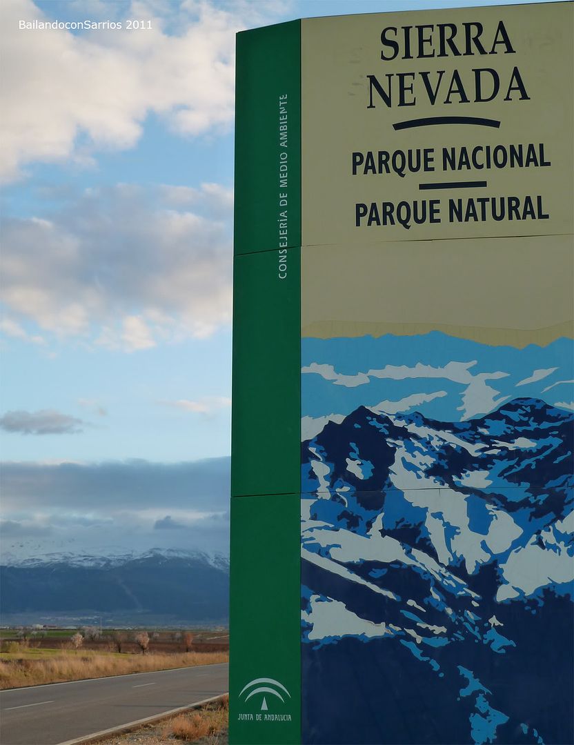
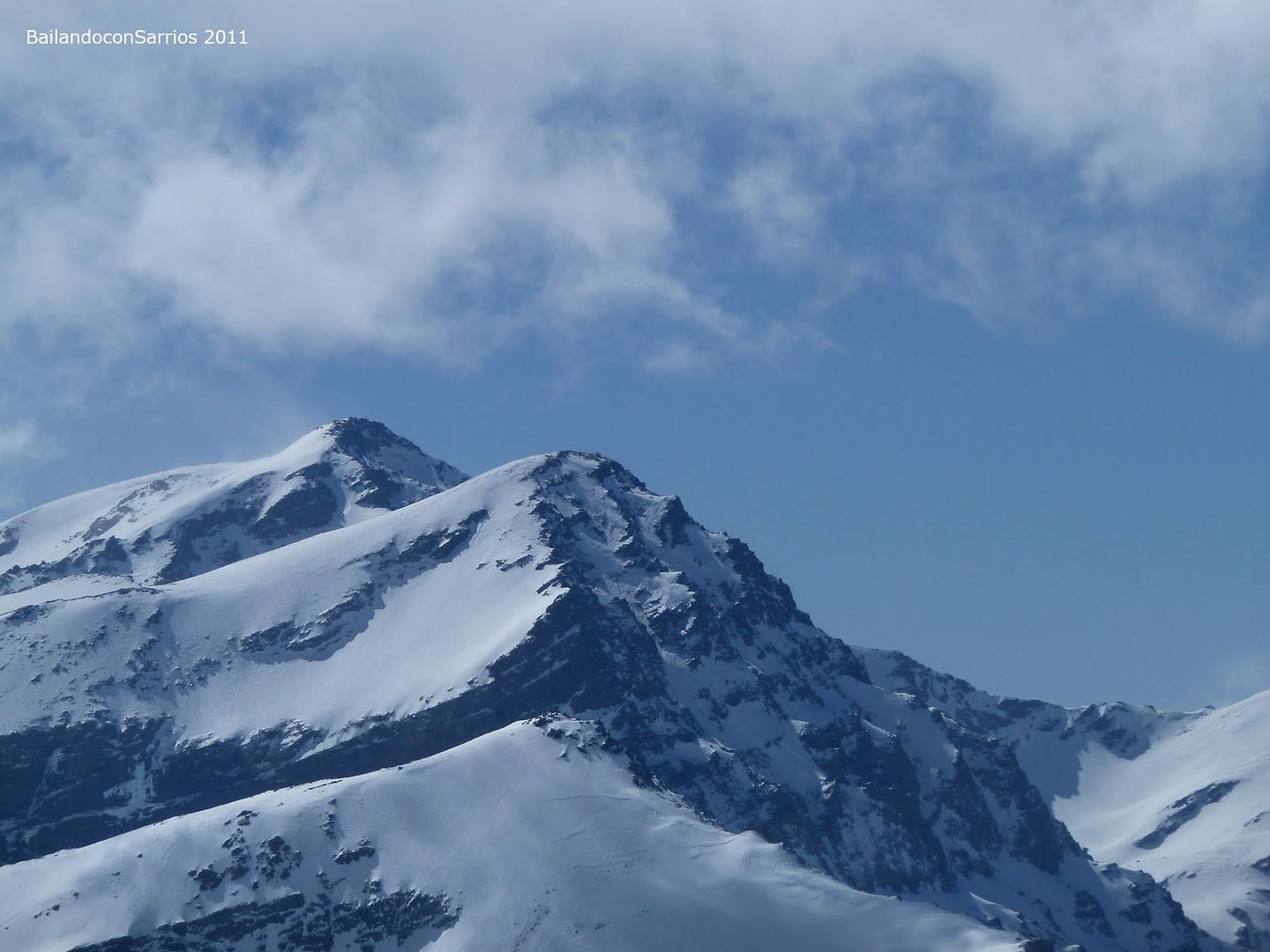
Our first objective, the Sierra Nevada National Park in Penibético System, which is the second-altitude mountain range in Western Europe after the Alps and home to a handful of three thousand, among which, remember, is Peninsular Roof: Mulhacén
During the day today, deleting the three thousand three more Eastern Sierra Nevada:
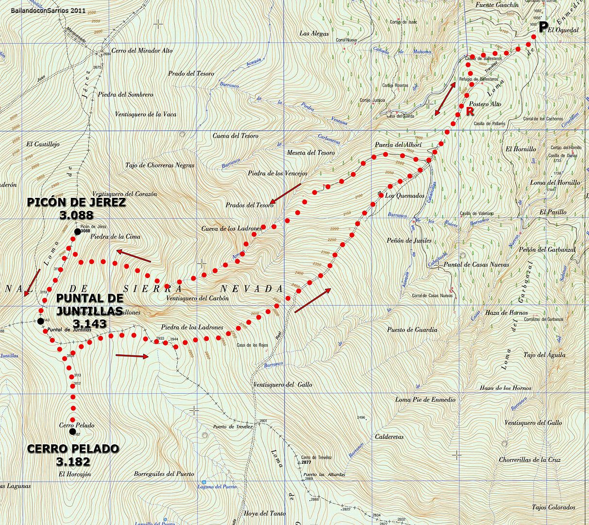
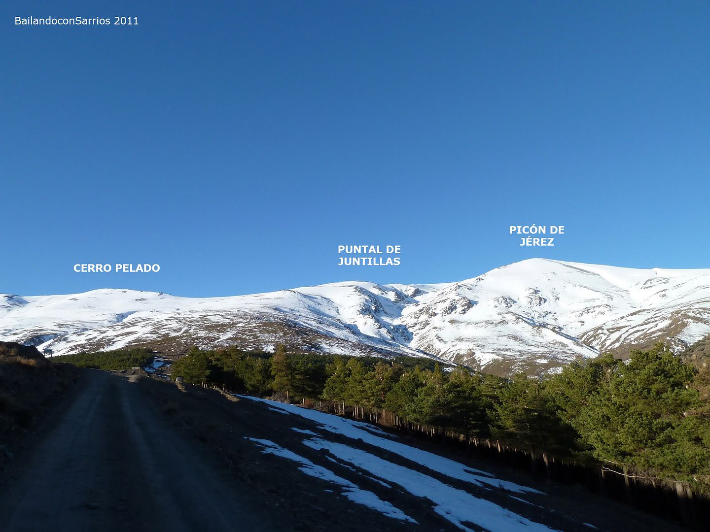
- SHERRY PICÓN (3,088 m)
- STRUT Juntilla (3,143 m)
- Cerro Pelado (3182 m)
For a list of three thousand present in Sierra Nevada, click this link: SIERRA NEVADA three thousand STATUS
Sierra Nevada National Park. Penibético system. Béticos systems.
POINT
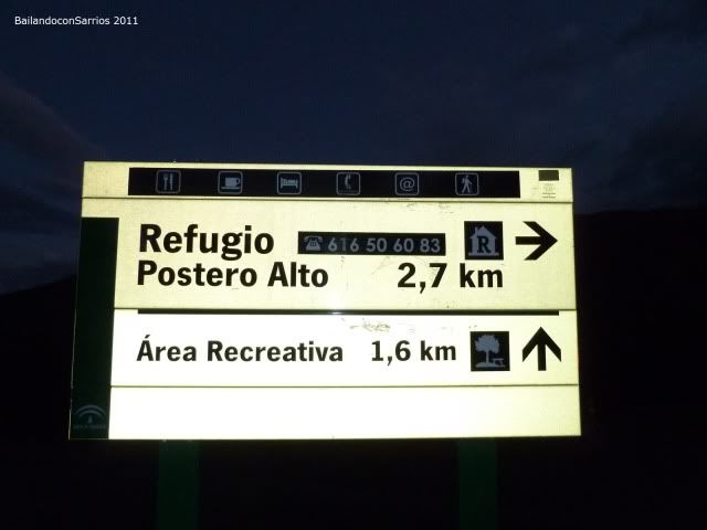
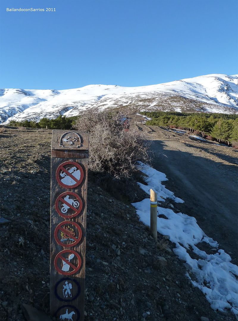
Lane firewall enabled on the access to Refugio Postero Alto, 1.5 km before reaching the shelter itself.
Marquesado from Jerez, continue along the tarmac towards to Refugio Postero Alto, perfectly suited to the edge of town. After spending the FACTORY (Fire Brigade Reinforcement of the Autonomous Community), continue along the existing track on the left in an easterly direction, called the Marquis Forest Road, toward the shelter and the Port of Ragua. In the PK 9 of this track there is a parking area where it is customary to leave the car. From here, continue along the lane in the existing firewall enabled, which stands towards the Refugio Postero Alto, to the existing junction at 1.5 km before reaching the shelter itself. Continuing
lane
existing firewall can be accessed by car to the shelter itself or as far our vehicle permits us depending on the state of the rail.
both the track and the track may be impassable at some point on the course due to the presence of snow and ice during the winter months.
Jérez To reach the Marquis (Granada), see REPSOL GUIDE.
MAPPING
Sierra Nevada National Park, 1:40.000. Editorial Penibética.
MAP
Wikiloc MAP
SKETCH OF THE ASCENSION
PROFILE OF THE ASCENSION
SUMMARY
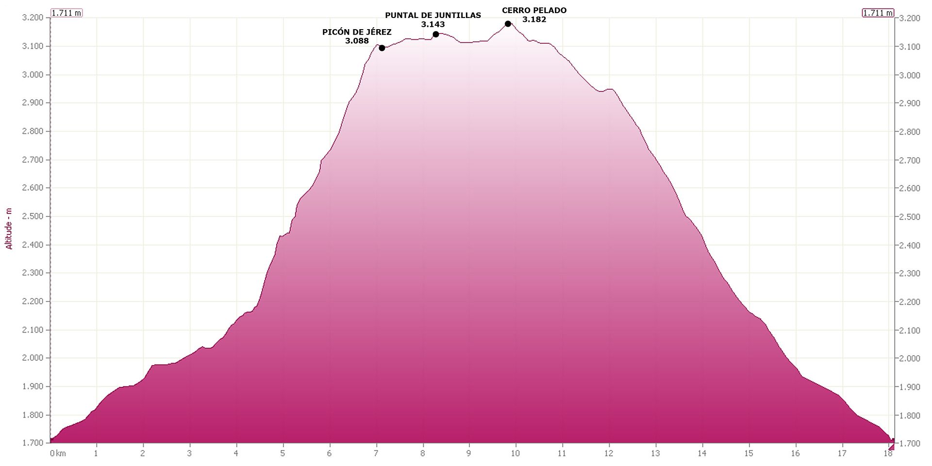
DIFFERENCE: 1,600 meters (+/-)
TOTAL DISTANCE: 19 km.
TOTAL TIME: 09:45 hours.
DIFFICULTY: Difficult Lower Little (PD-). Earrings
snow up to 45 degrees in the climb up the Barranco del Alhorí towards the Picon de Jerez. Bad weather
gives an added difficulty.
MATERIAL: Basic equipment winter.
WATER: Water can take several points along the route.
GPS TRACK LOG
Click on this link: 20110228 WikiLoc PICÓN DE JEREZ - Juntilla STRUT - BARE HILL
ASCENSION
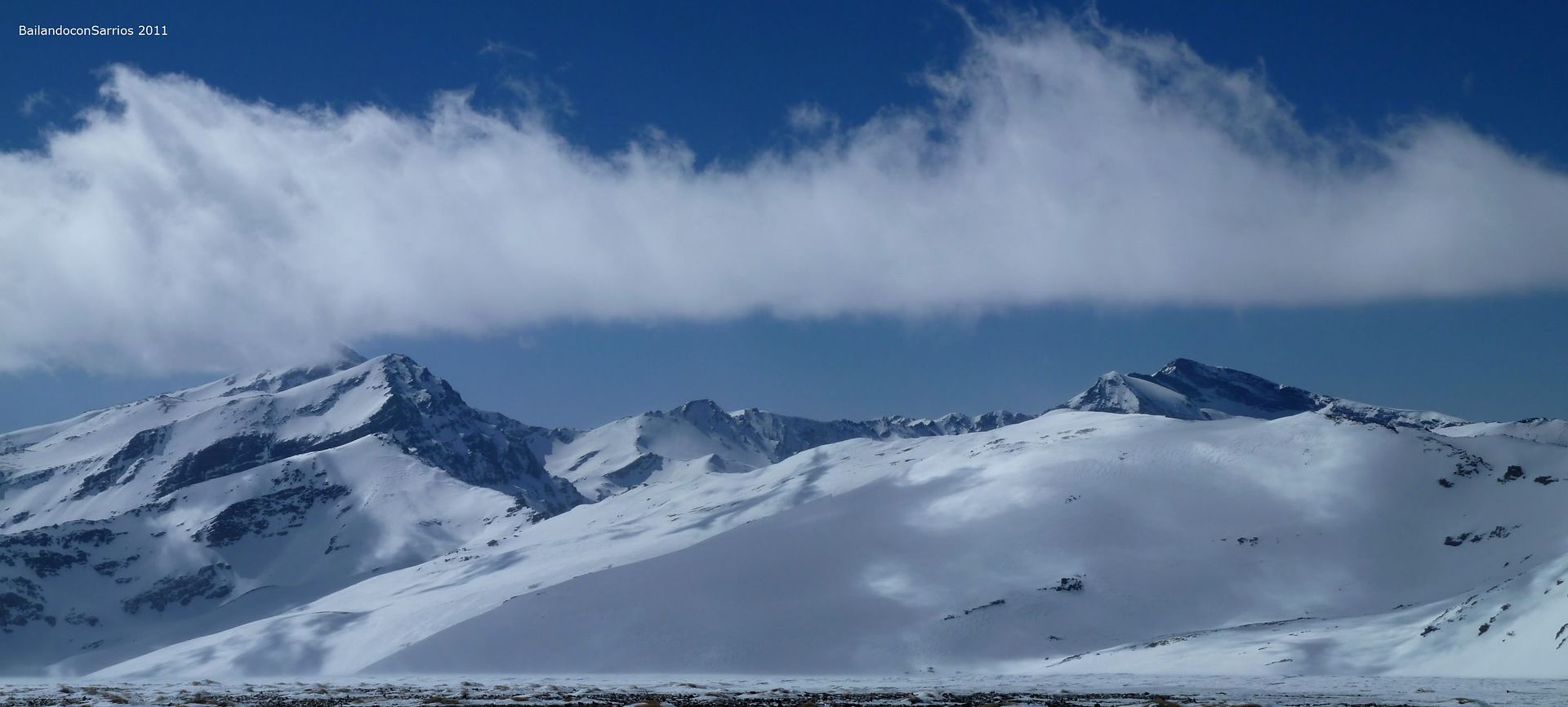
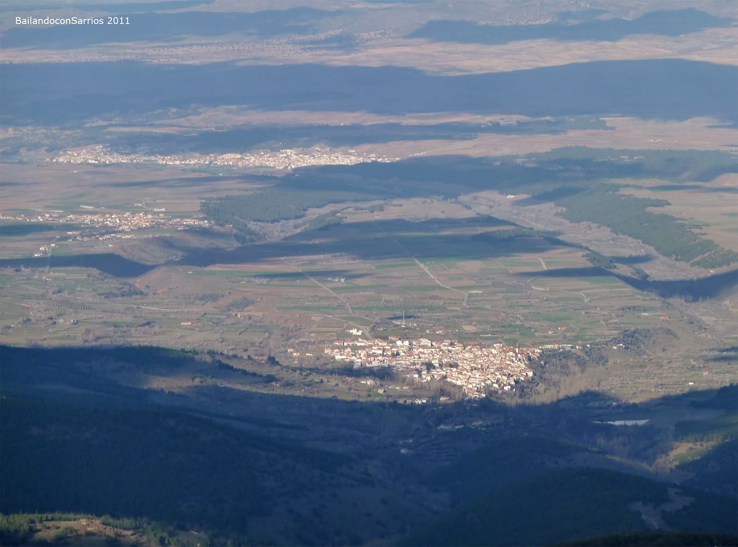
After the trip by car from Madrid, we approached by the Northern Sierra Nevada from Guadix while the blizzard hits the high peaks of South Peninsula ...
... in contrast to the almond (Prunus dulcis ) in bloom ...
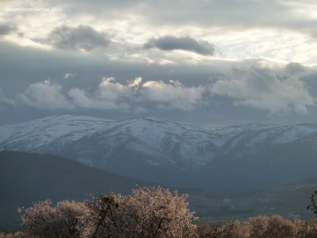
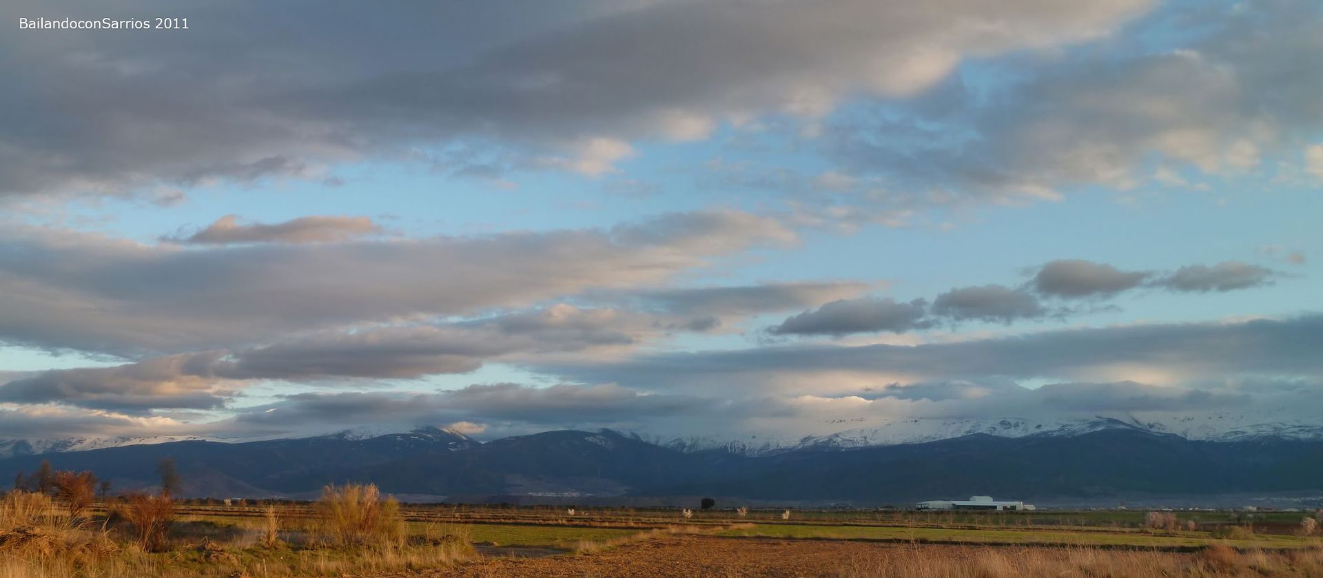
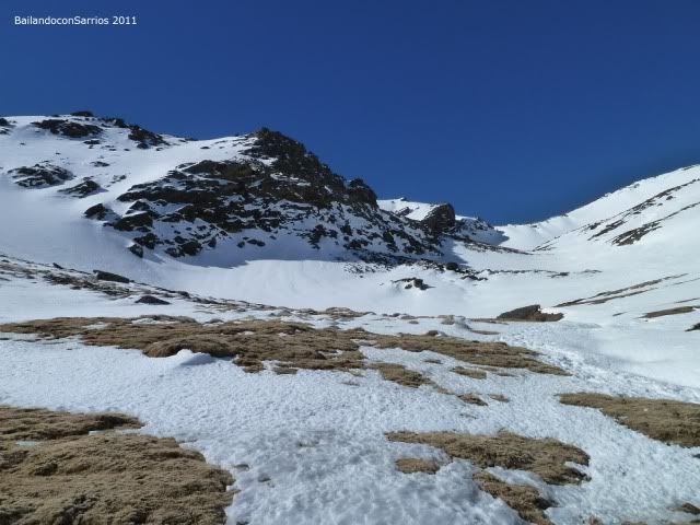
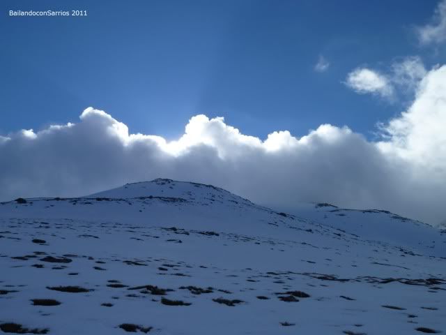
... we approach the Sierra Nevada National Park ...
... covered by clouds.
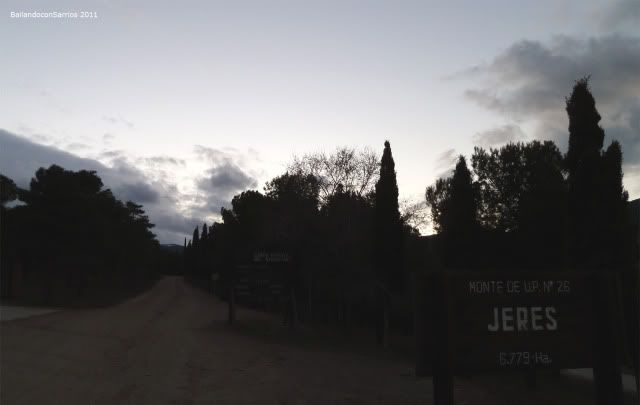
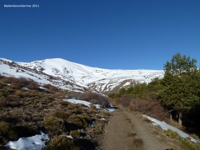
After crossing the town of Jerez the Marquis, we only follow the signs to Refugio Postero Alto ...
... that are at the end of the town ...
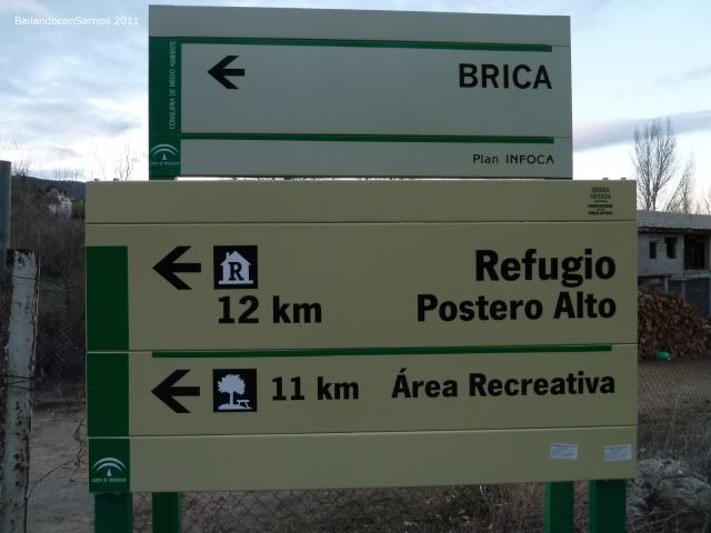
... to continue on Forest Road Marquesado with BRICA facilities.
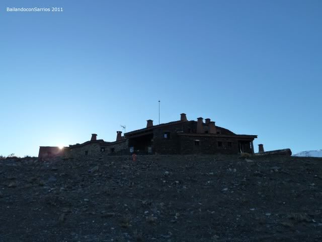
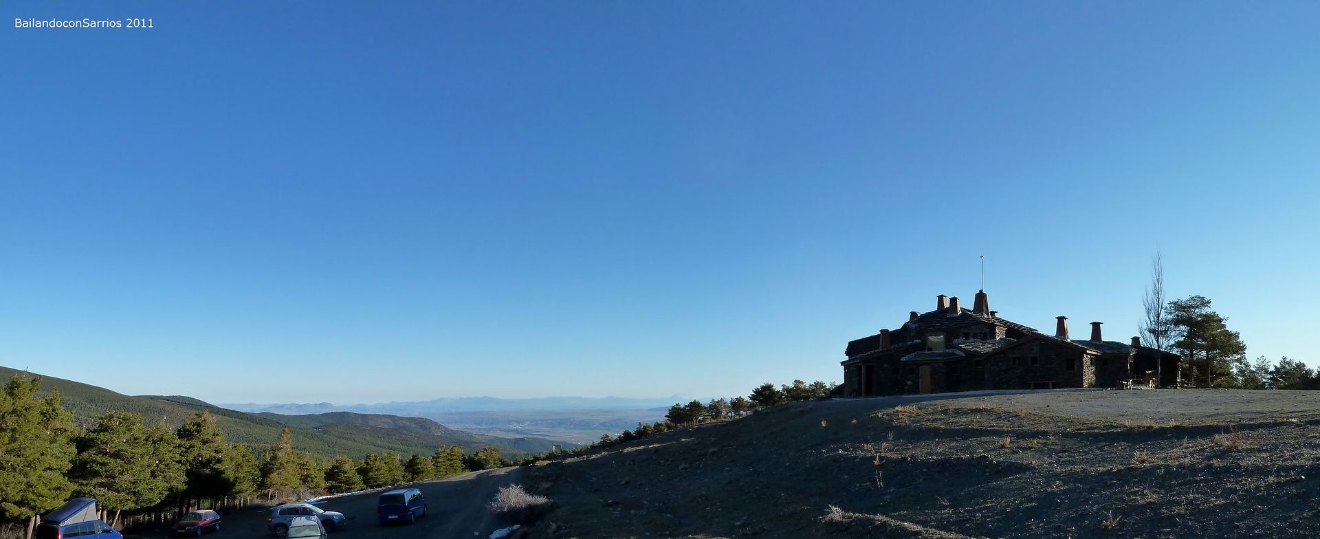
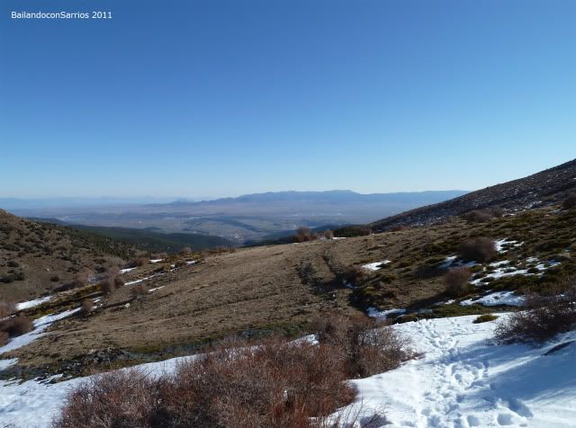
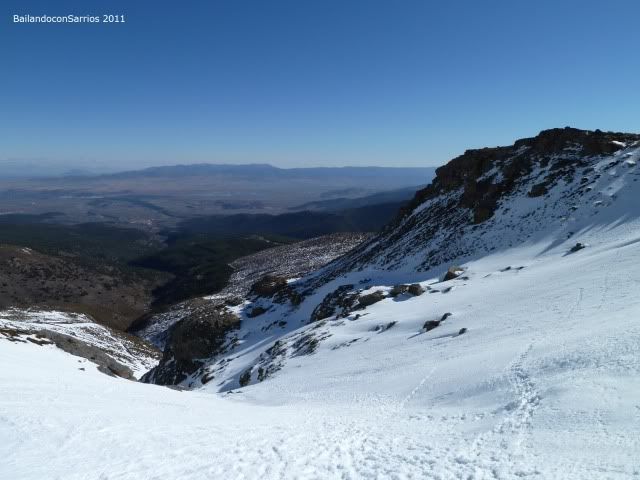
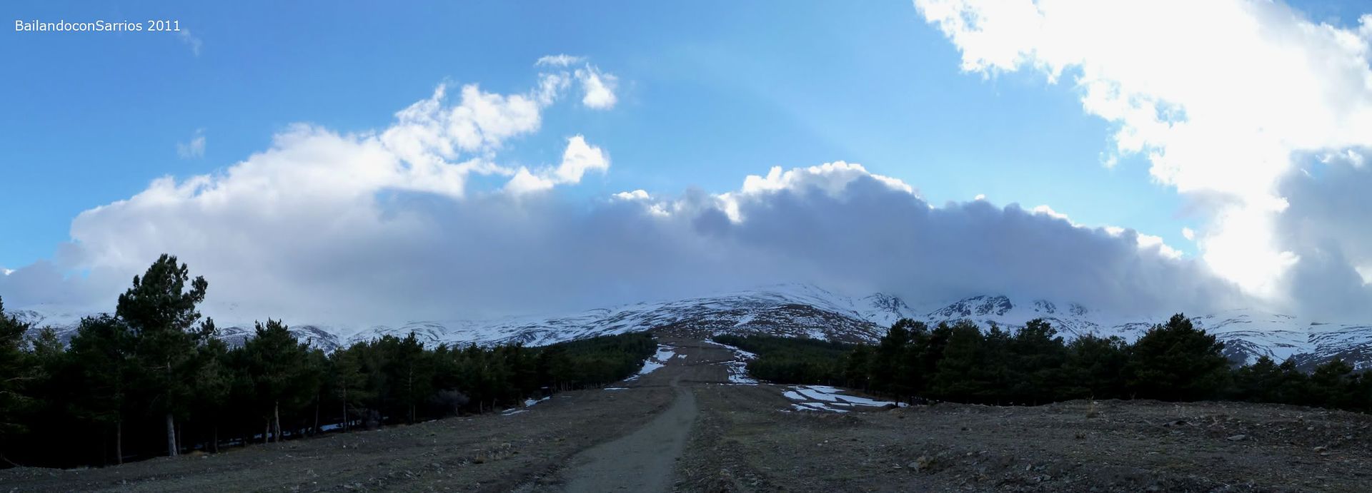
We follow the trail that runs along the northern slope of this part of Sierra Nevada in the direction of Puerto de la Ragua and Refugio Postero Alto, one of the two existing refuges in Sierra Nevada, along with the iconic Poqueira Refuge located on the South Rim National Park and perfect point starting to climb the Mulhacen , roof of the Iberian Peninsula.
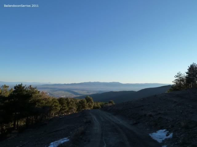
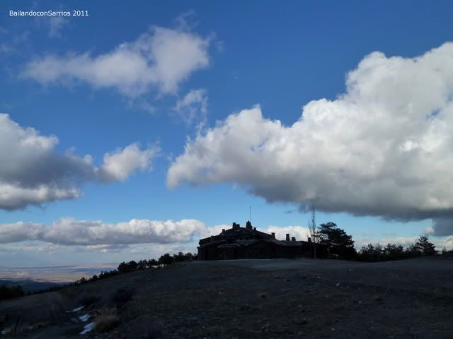
After 9 miles on the track reached the hill where the lane begins ascending to the refuge and where there is a small parking area ...
... we have left the shelter.
The lane to the shelter runs through the existing firewall on the ridge ... After thinking a minute or we risk a step further with the van, we'll see how far we can ...
... of course, the reason for the fire lane and steep rises in our van has trouble overcoming some of the existing slopes ...
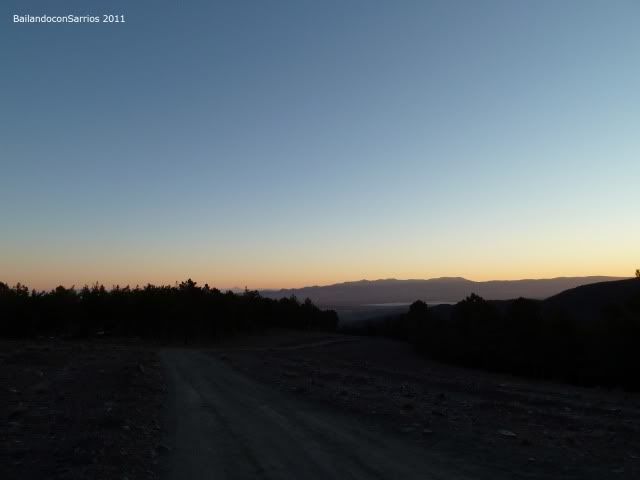
... Here we stayed.
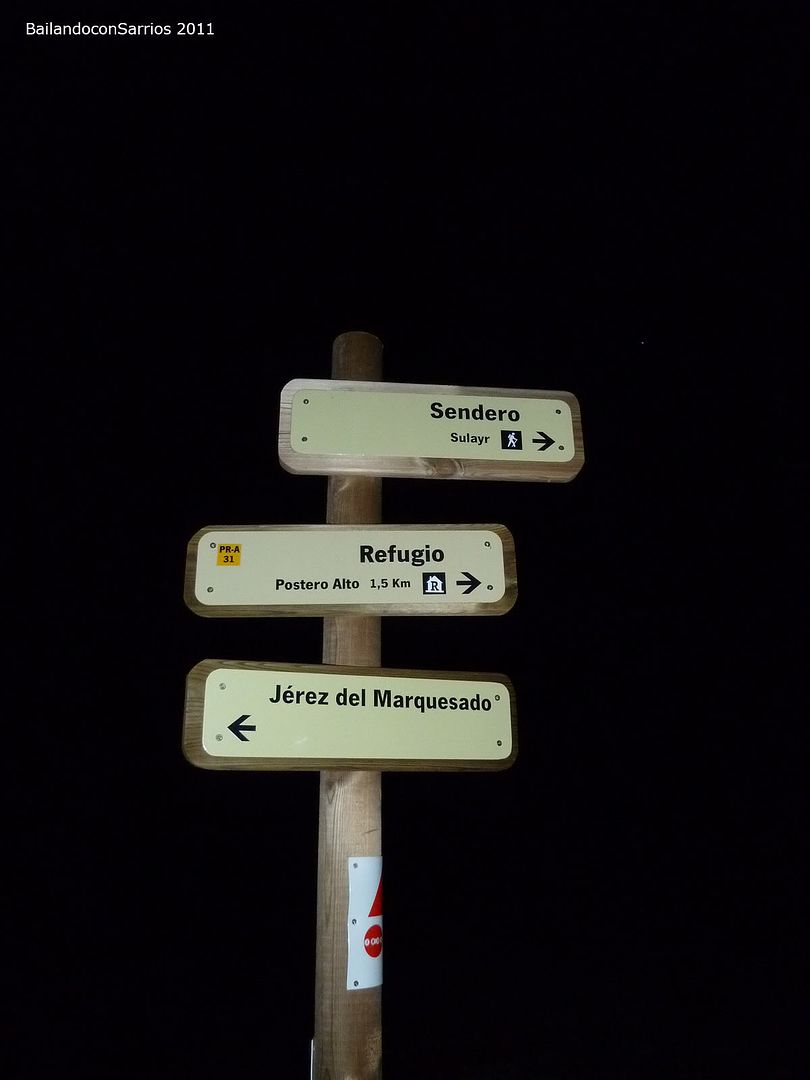
parked 1.5 kilometers from the shelter next to a fork in the lane under a starry sky and prepare dinner and backpacks organized, tomorrow we expect a good day Mountain ...
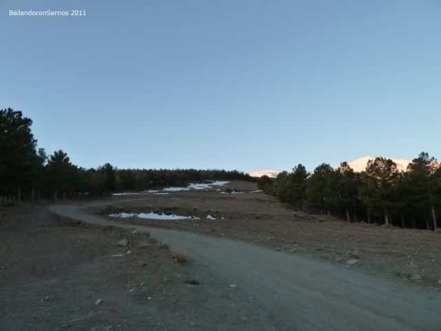
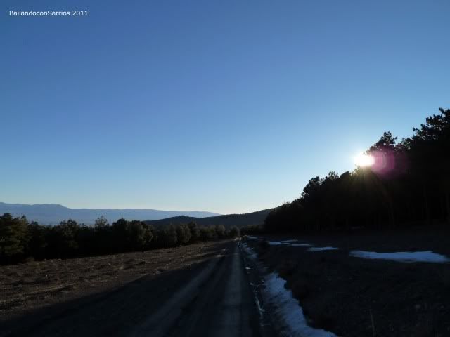
The night was cold and we get the slackers on the bags ... ritual after breakfast, we decided to leave our home to enjoy the colors of dawn ...
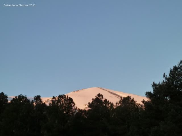
... Jerez cinder gives us good morning ...
... the lane in which we climbed last night ...
... and where we are heading up to Refugio Postero Alto ...
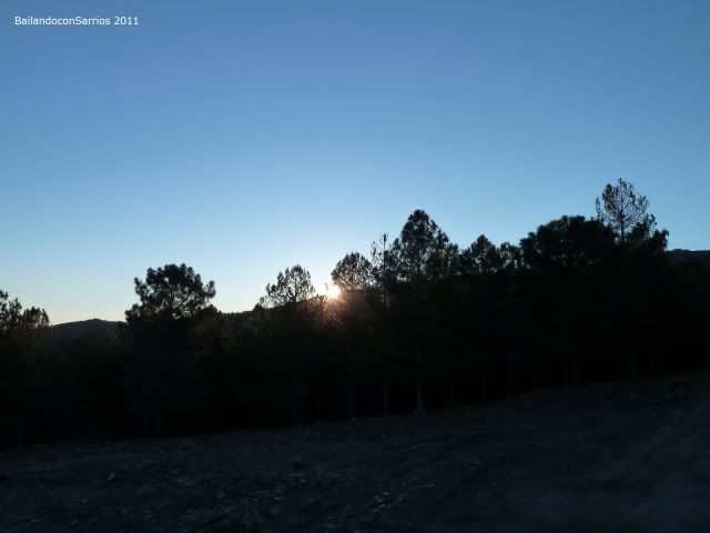
... the sun makes an appearance.
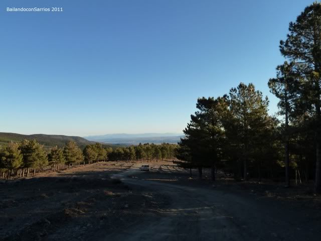
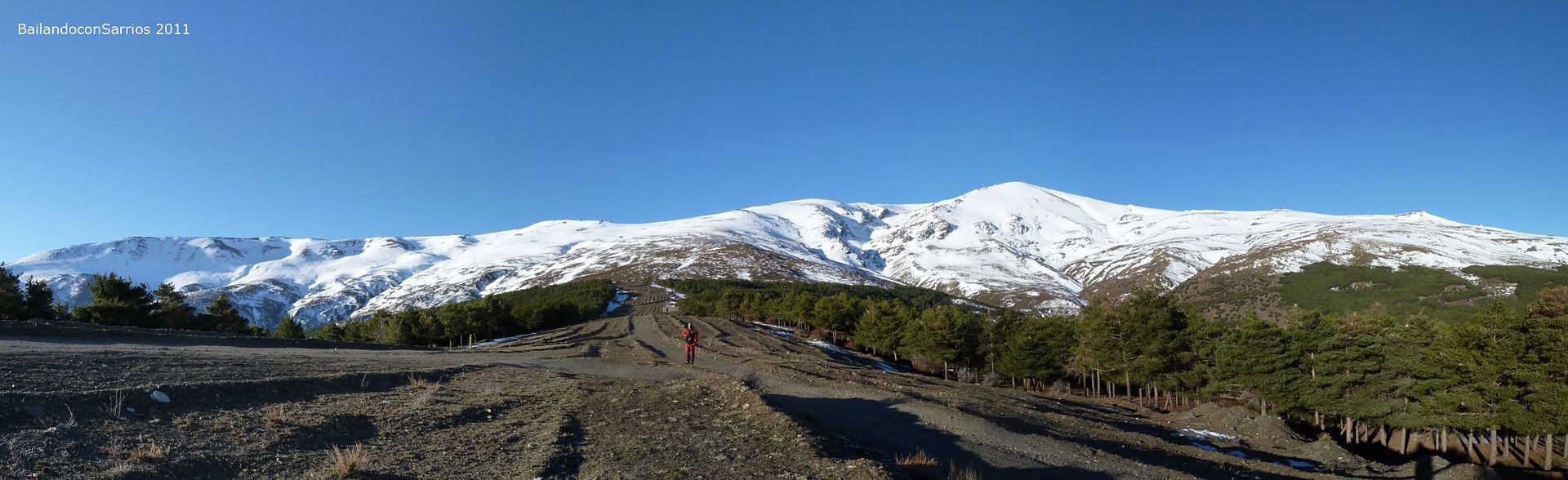
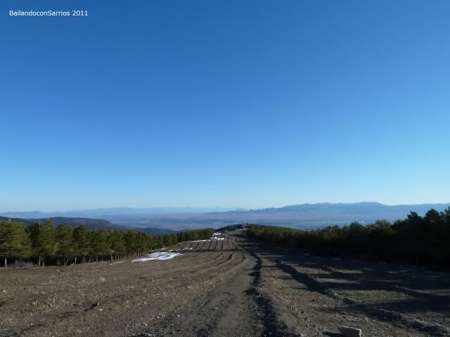
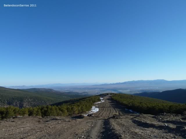
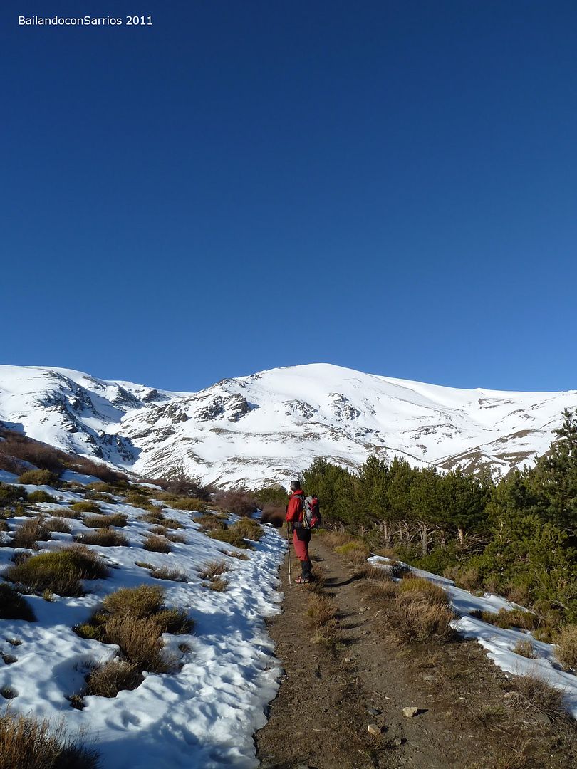
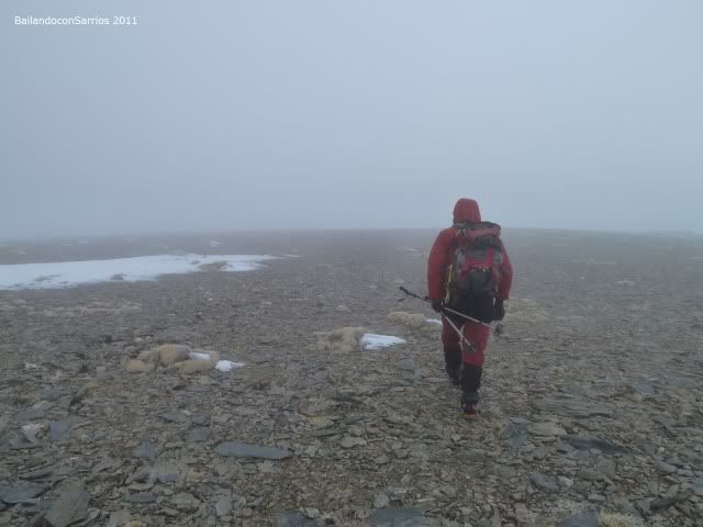
With a pleasant room temperature, at 08:15 am we set off toward the shelter up through the existing firewall lane ...
... Looking back ...
... going through the firewall ...

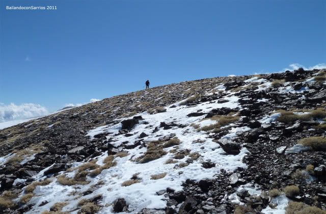
... gaining altitude quickly ...
... the sun reappears again ...
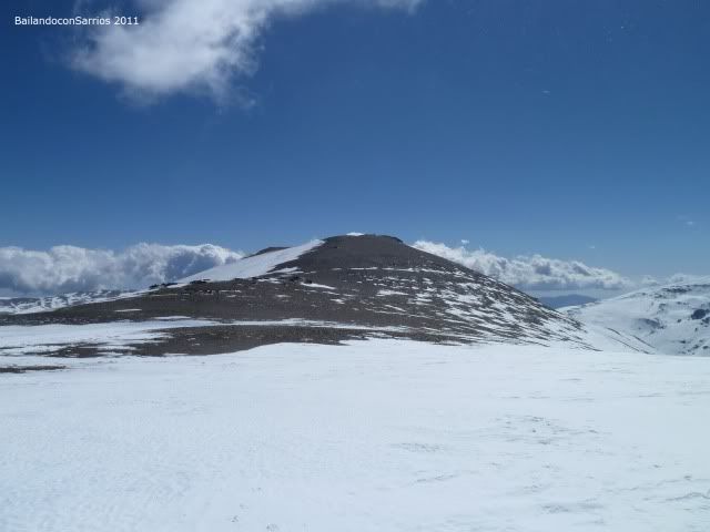
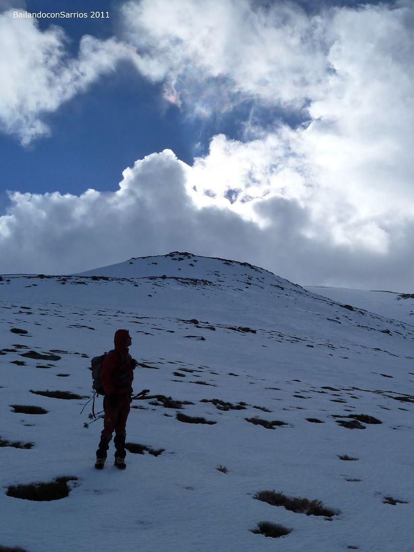
... and the Picon in Jerez ...
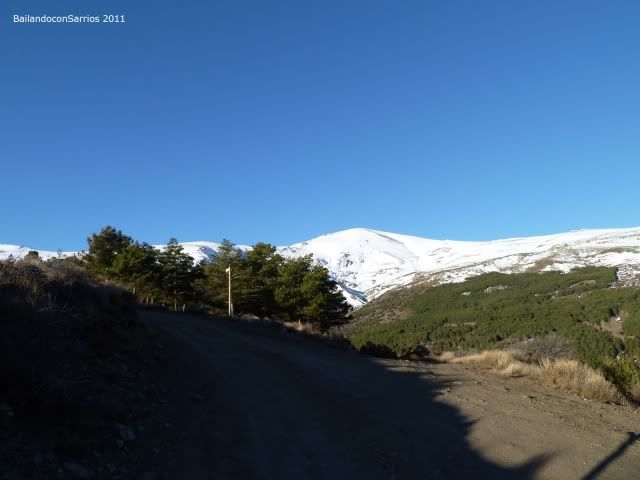
... very near Refugio Postero Alto ...
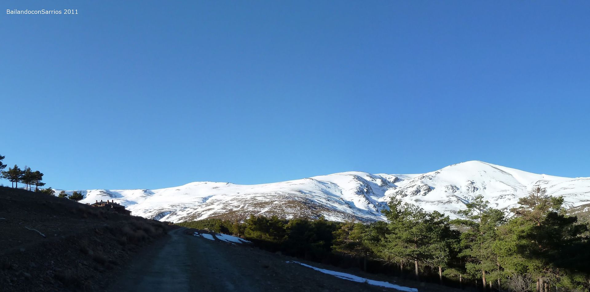
... our goals today is looming ...
... at the height of the shelter ...
... where the lane ends.
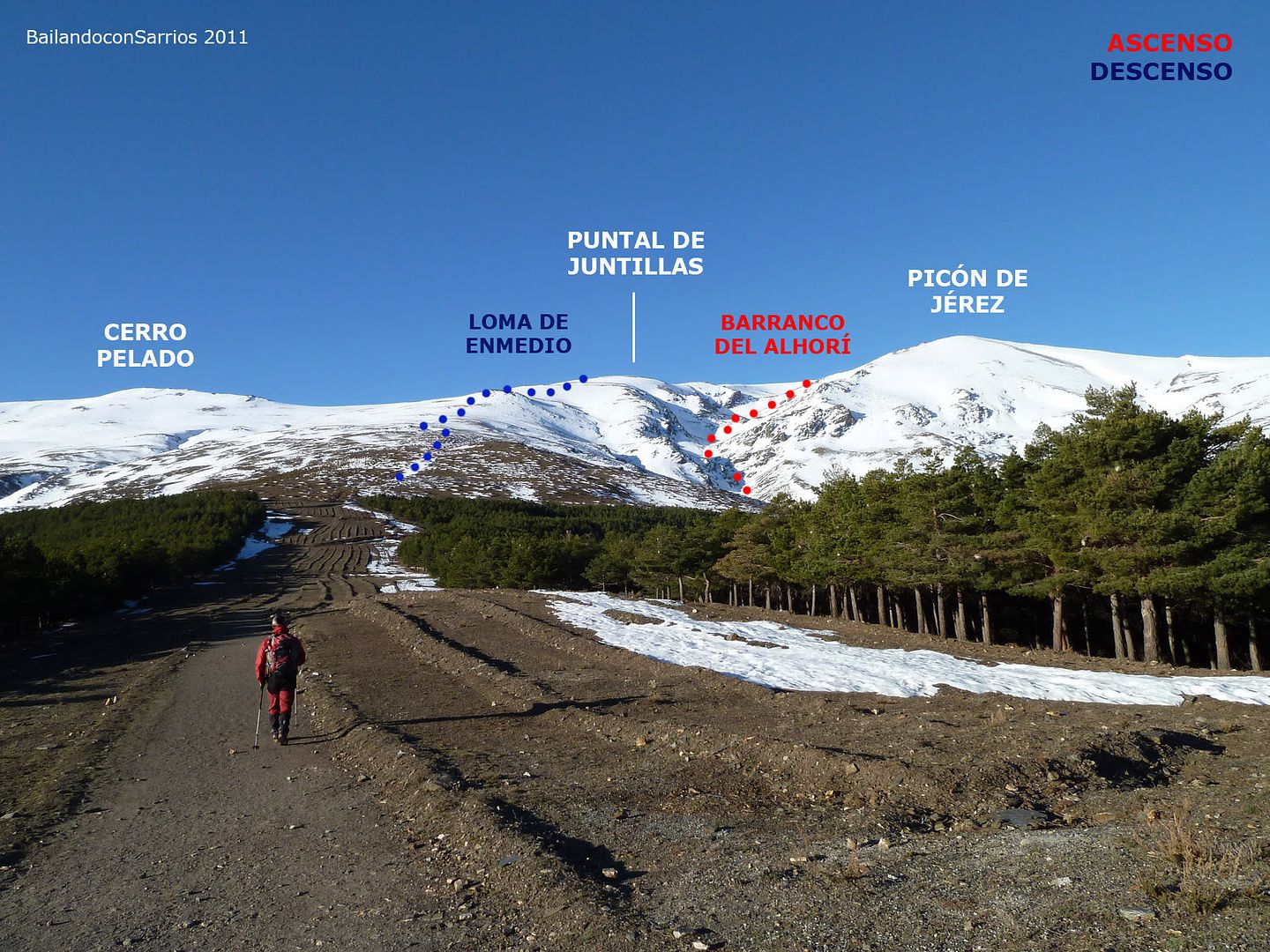
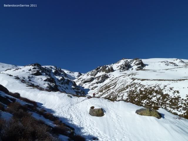
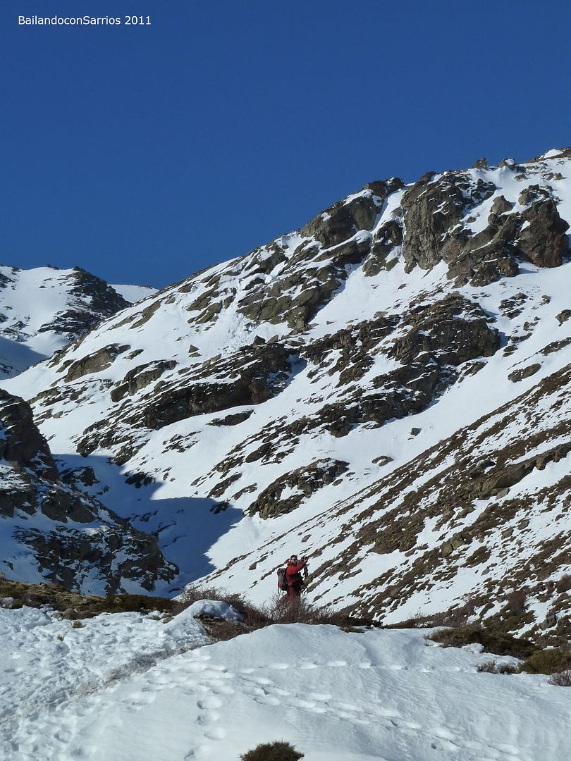
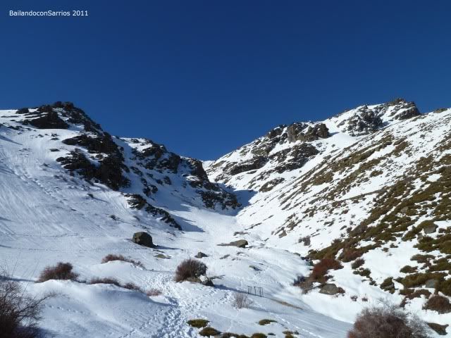
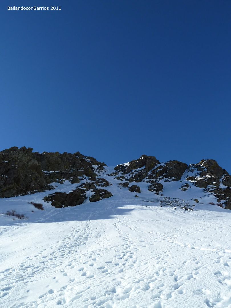
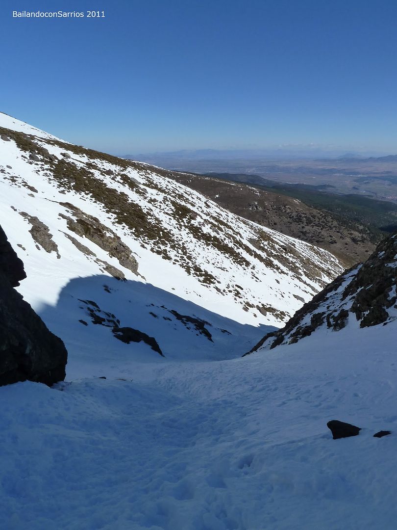
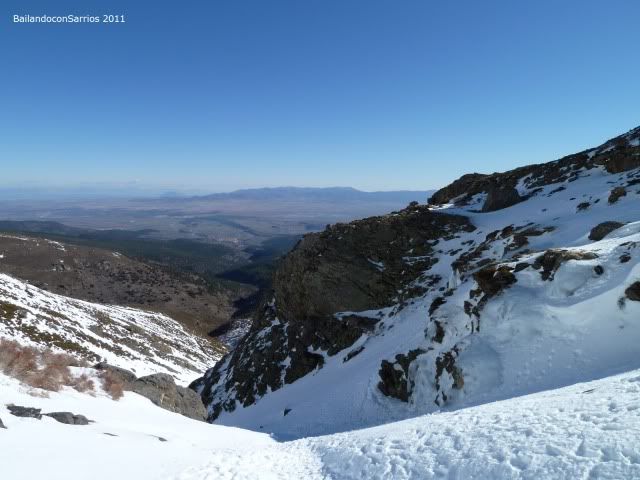
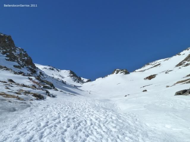
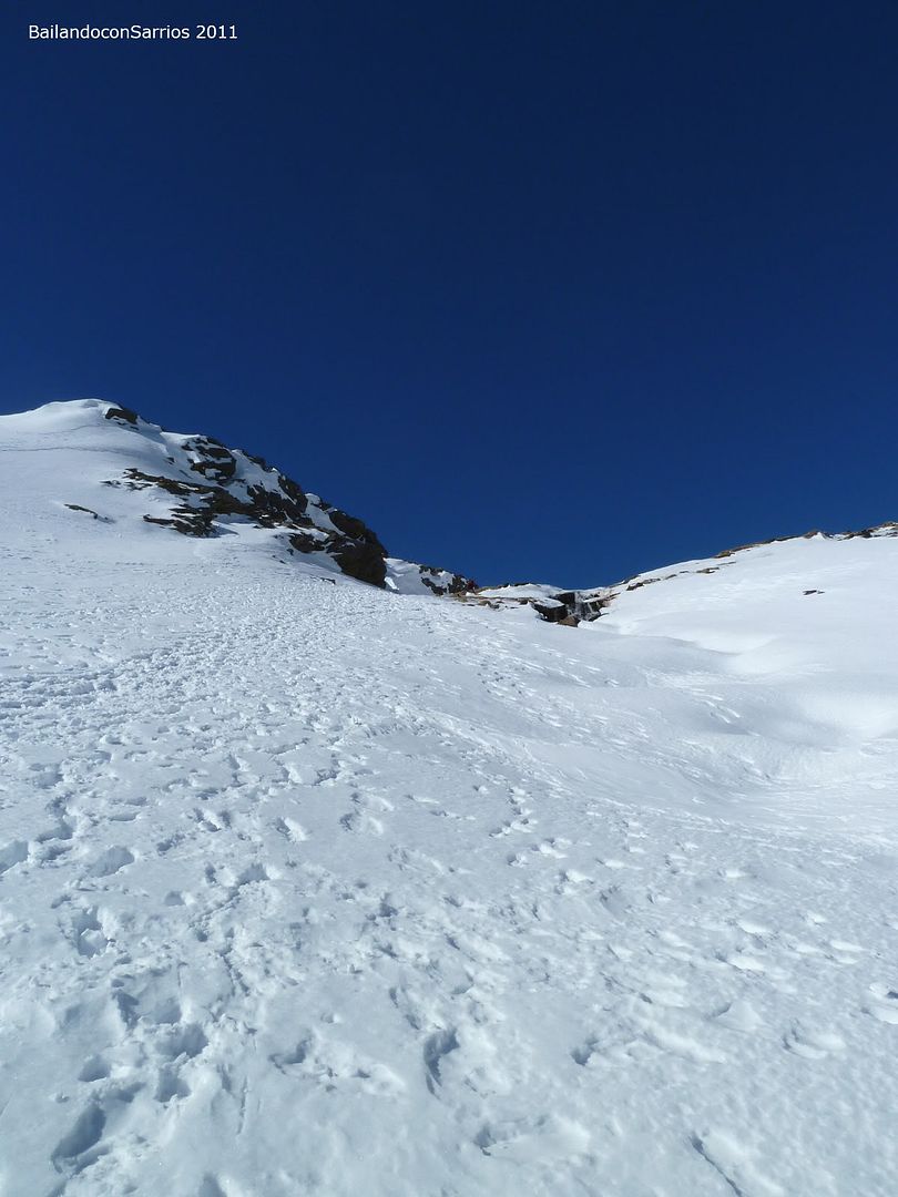
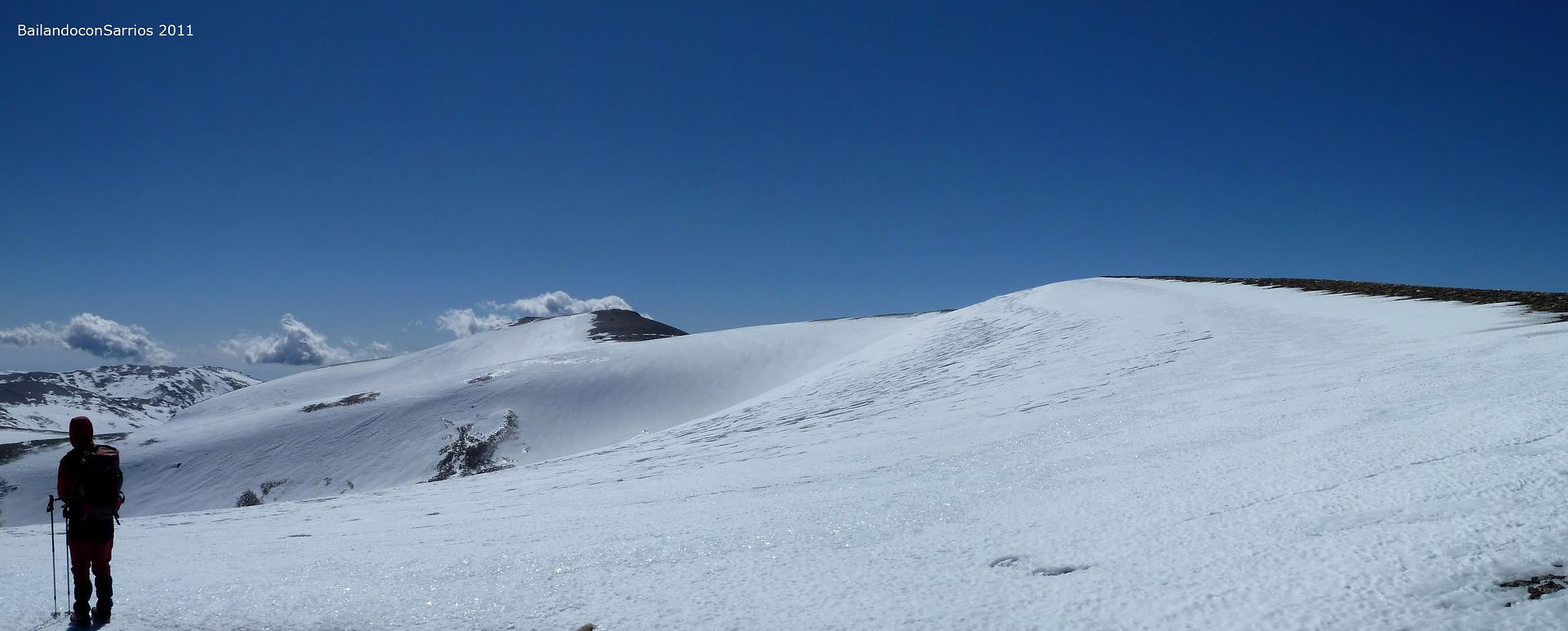
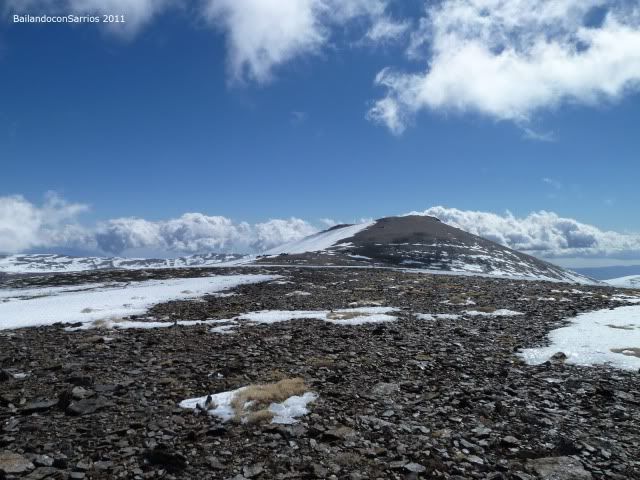
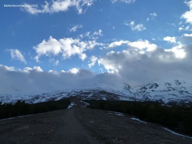
From the small parking lot of the shelter, we must continue along the firewall towards the Loma de Enmedio, which we will turn to search for Barranco del Arroyo del Alhorí that will lead us to the base of Picon Jérez ... from the lowest three thousand ridge climb to the strut and the Cerro Pelado face value ... the decline will do this for the Loma Enmedio to regain the shelter ...
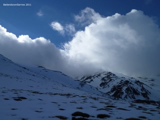
... the peaks of Sierra Nevada ahead ...
... leaving the shelter ...
... observing the path that we will ...
... moving through the firewall ...
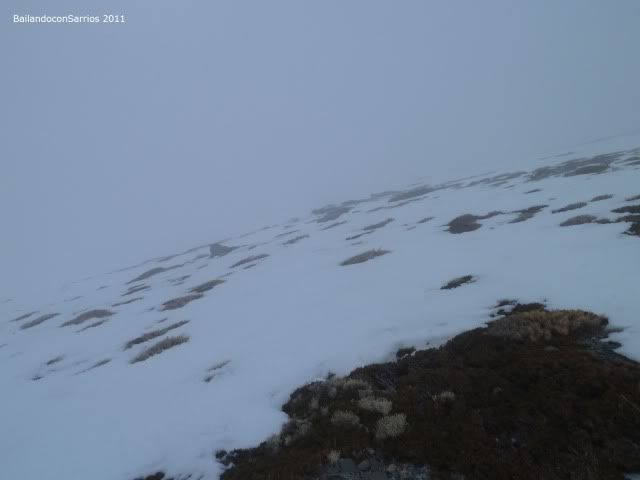
... curious landscapes.
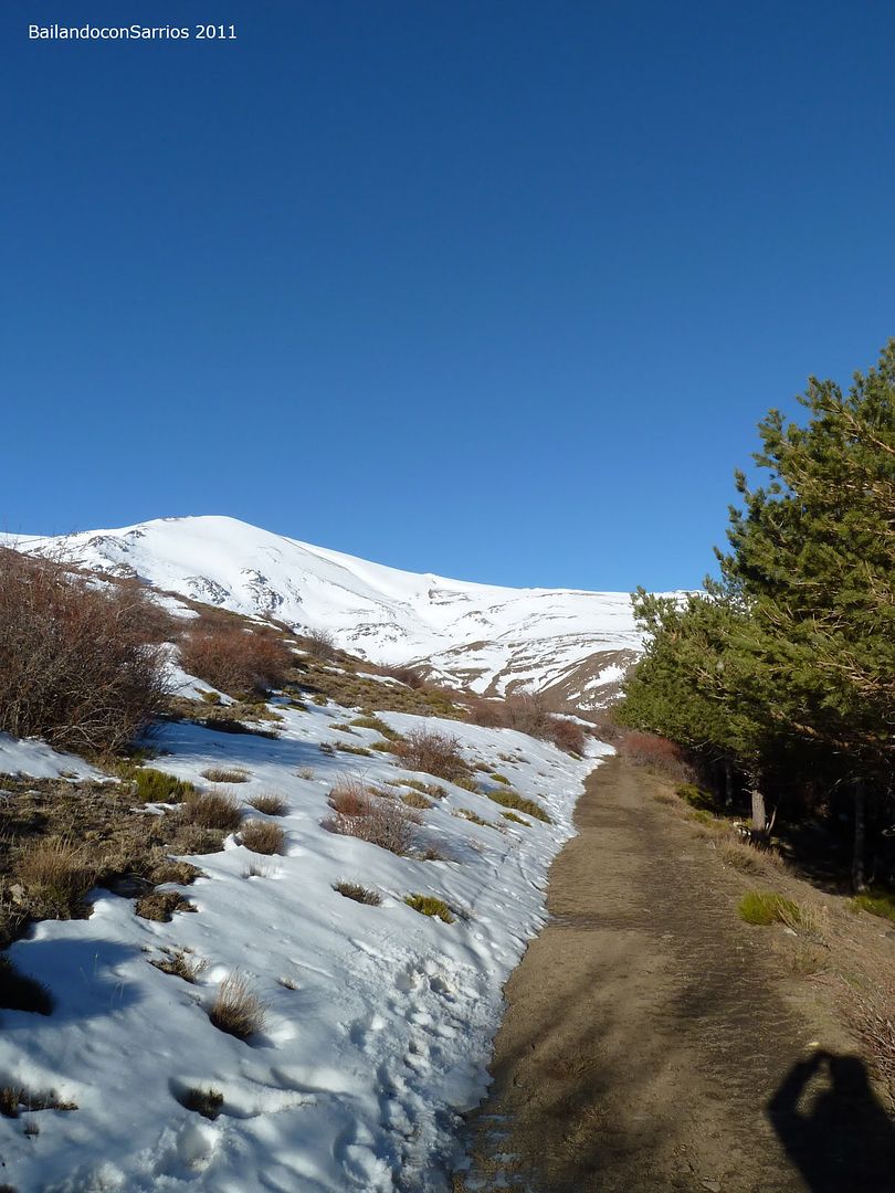
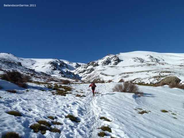
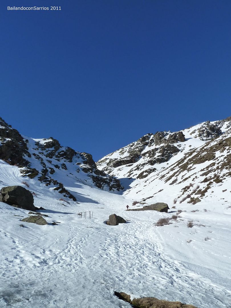
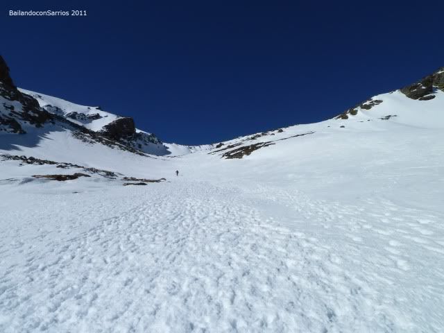
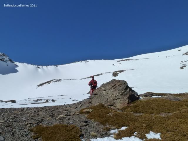
few meters further up, we left the fire to continue on a strong path towards the Barranco del Arroyo del Alhorí ...
... the path can not miss ...
... Jerez cinder watching us ...
... now understand the name of the refuge ...
... looking at where to climb ...
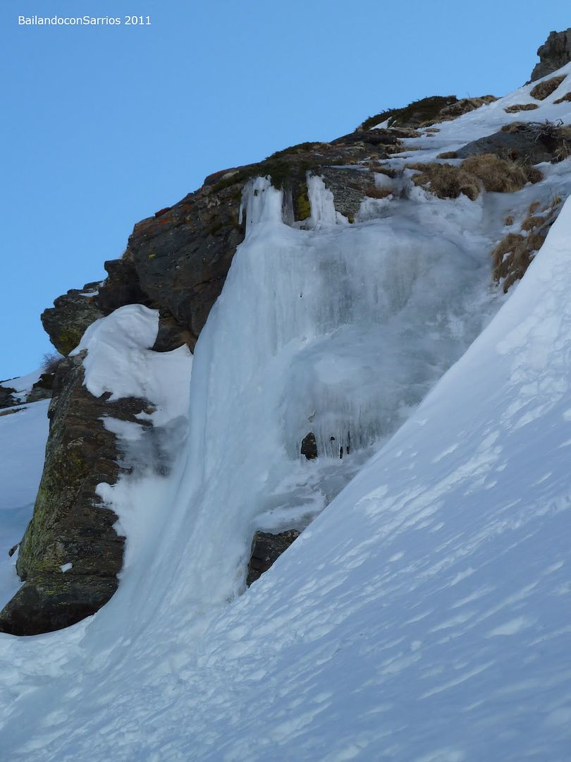
... Snow stepping between pinchudos copies of Berberis sp. ...
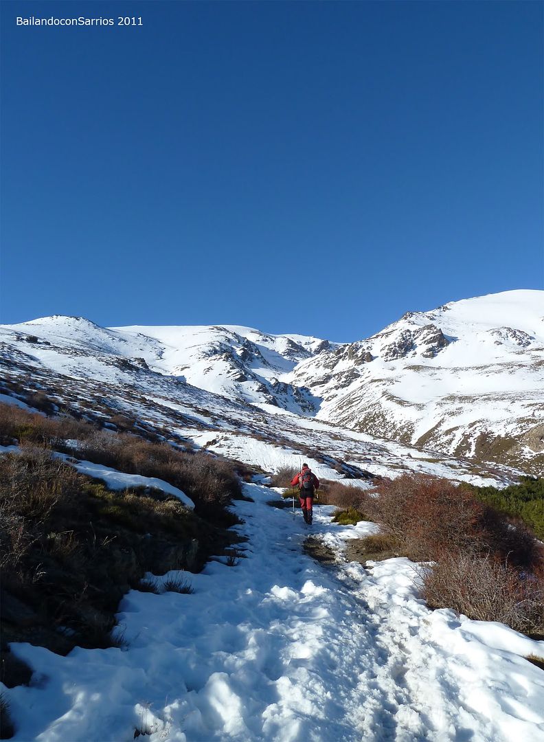
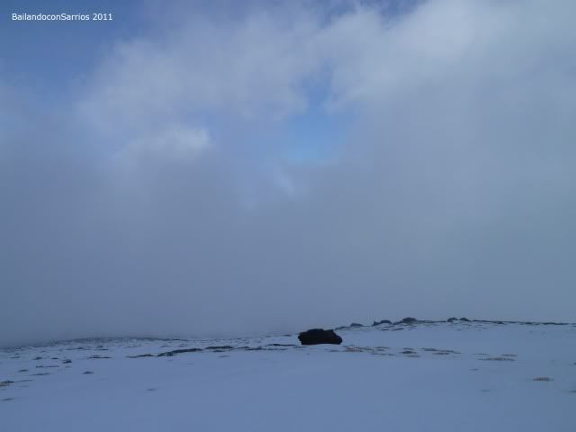
... two igloos on the road ...
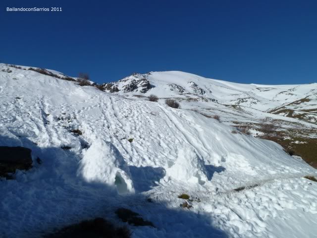
... Alhorí ravine is near ...
... Looking back ...
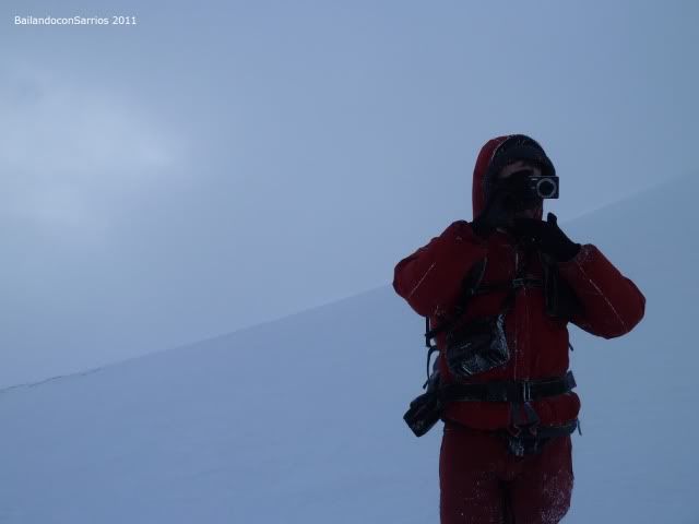
... Mane is camouflaged ...
... "In flagrante" with his camera ...
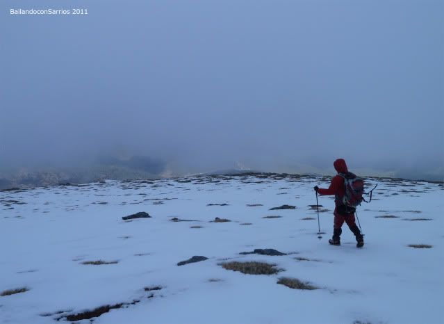
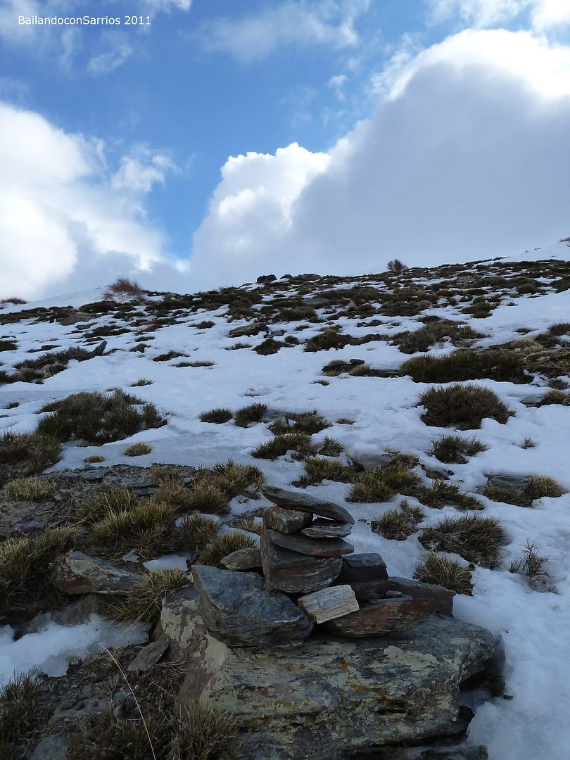
... following milestones ...
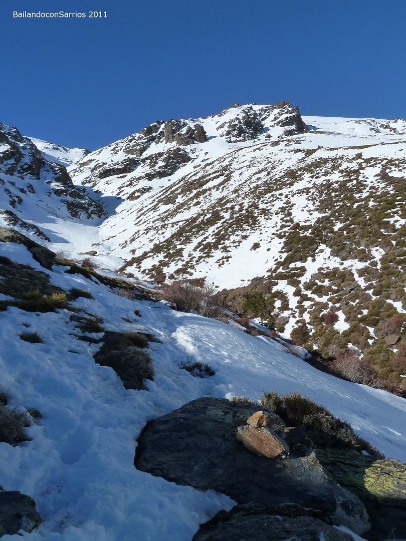
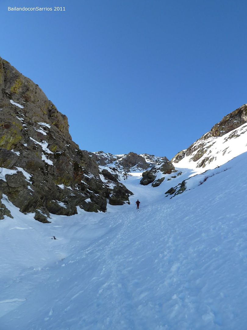
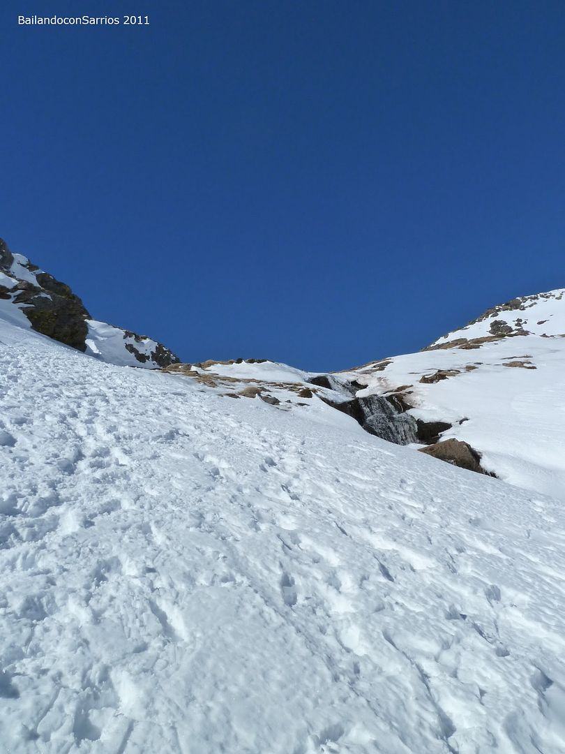
... the Barranco del Arroyo del Alhorí ...
... under the blue sky ...
... someone waiting for me.

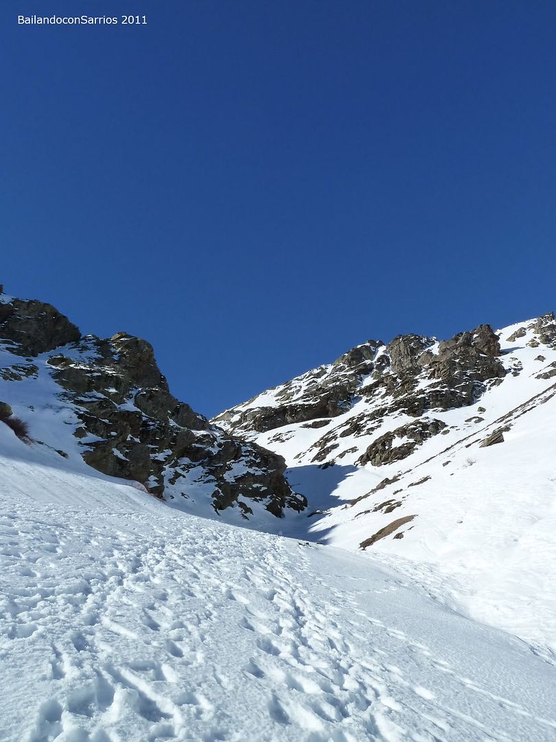
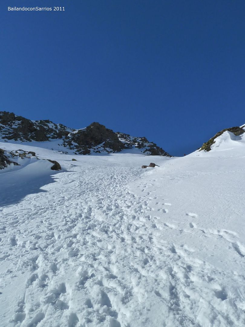
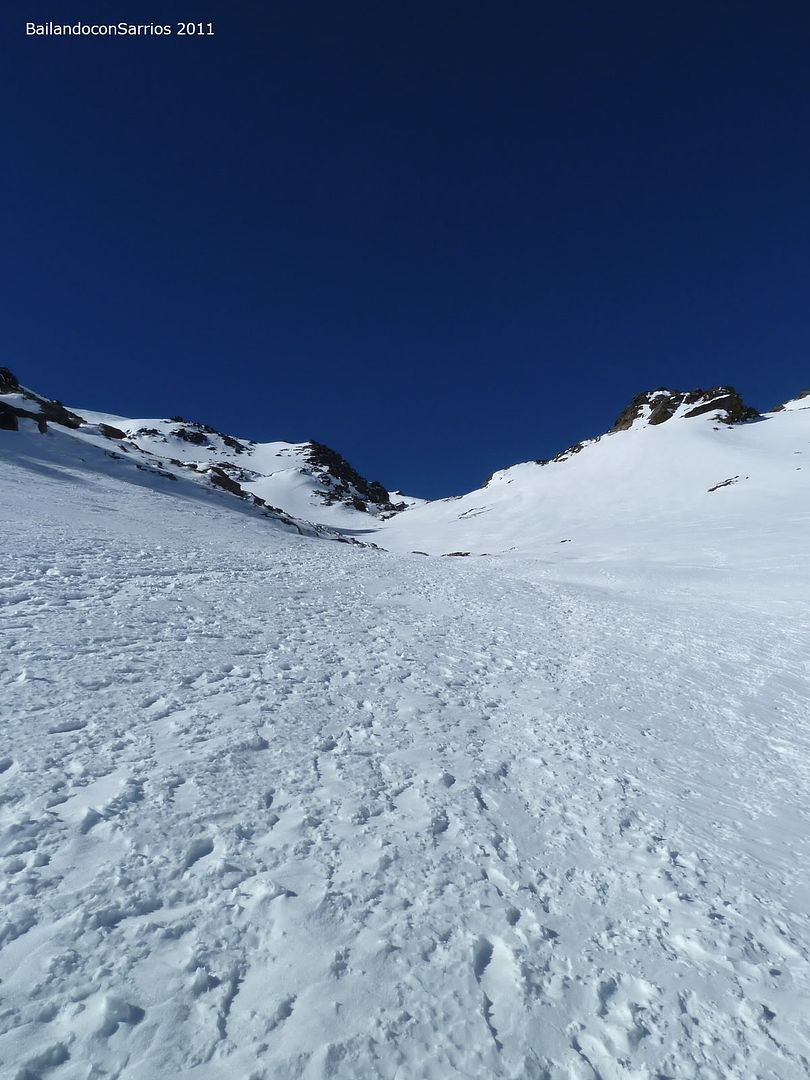
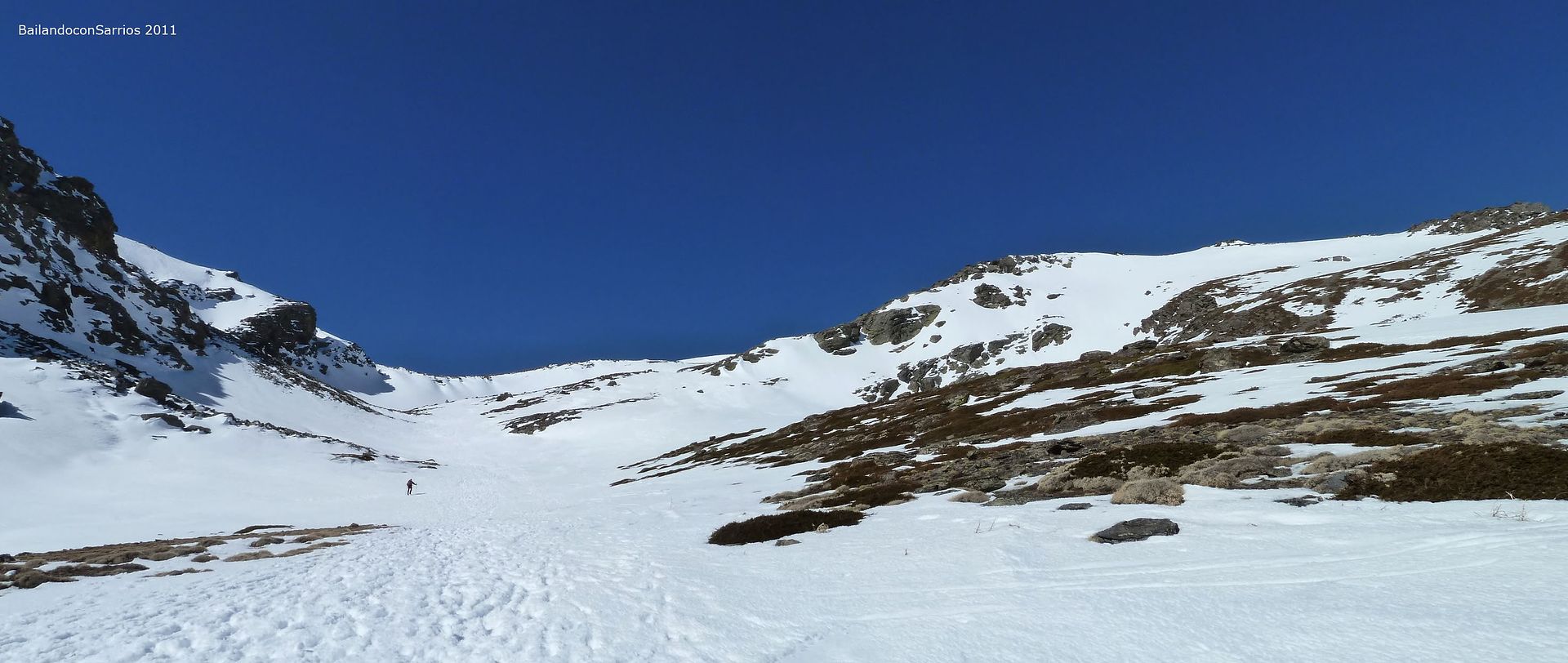
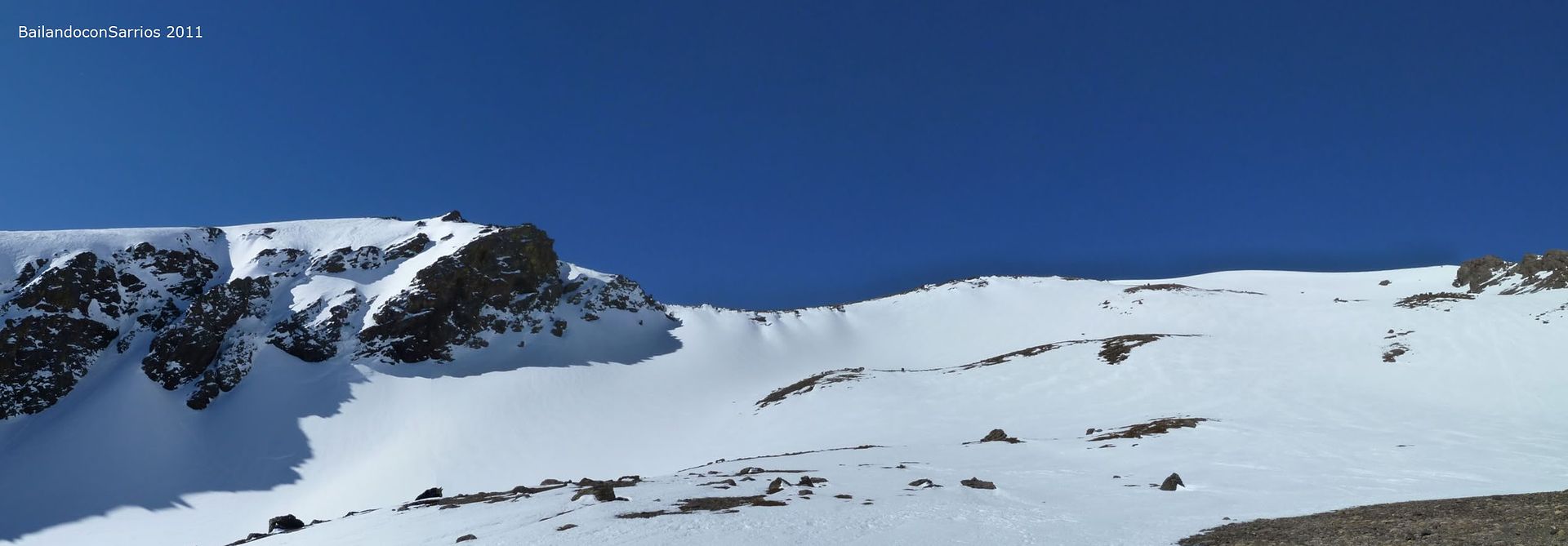
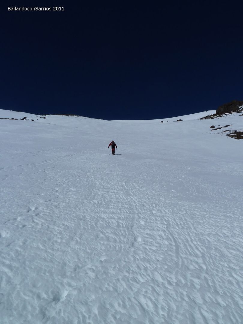
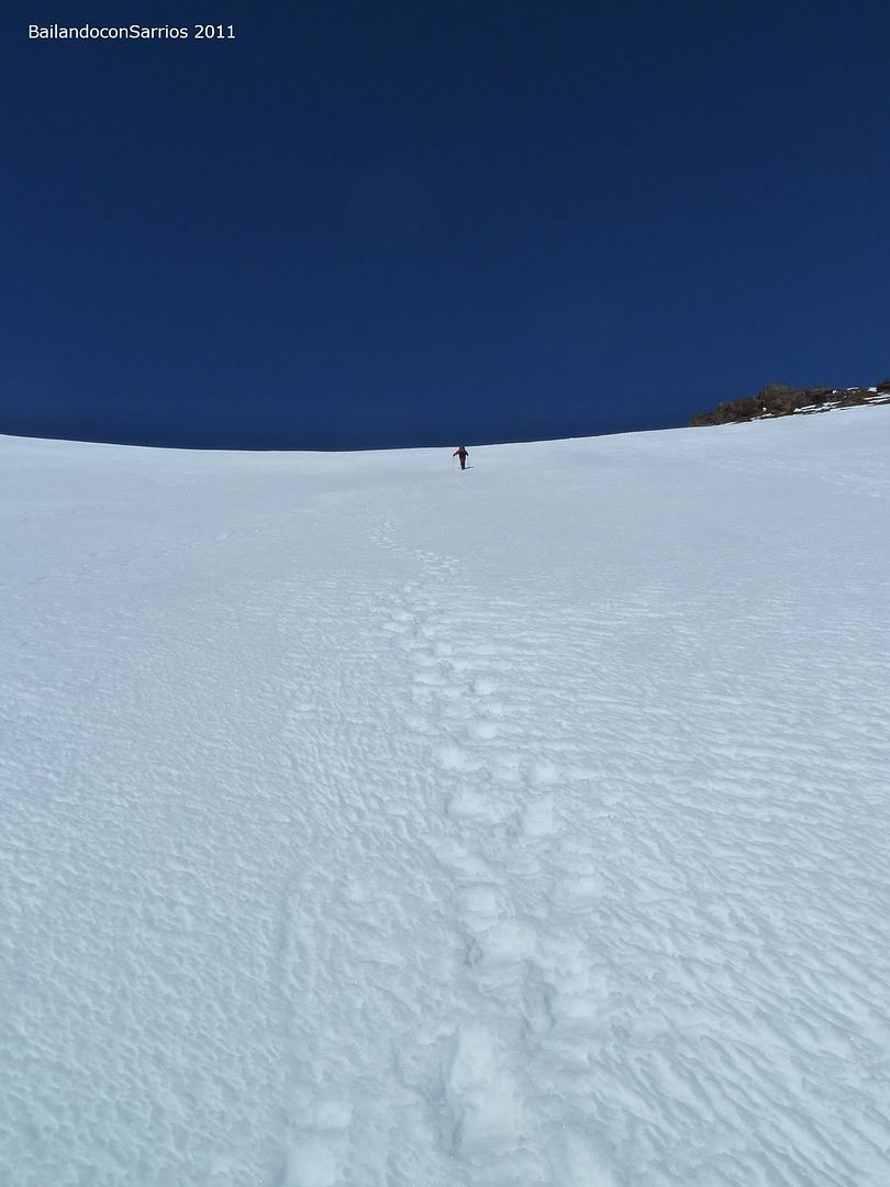
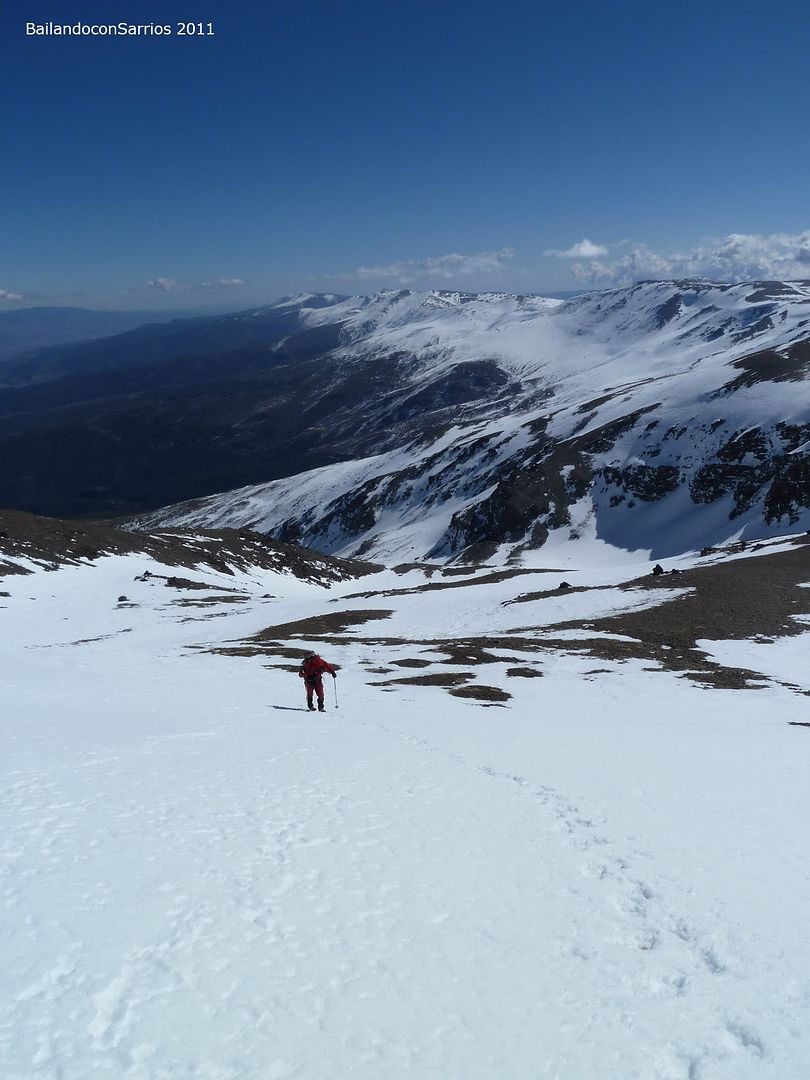
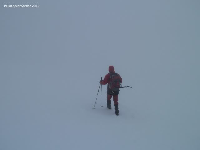
are 10:15 am, we make a brief pit stop to weigh the option of climbing up a channel, our idea is to climb to three thousand three of the ridge so we reject this option to entertain no more than necessary during the ascent ...
... other time will be ...
... a little closer ...
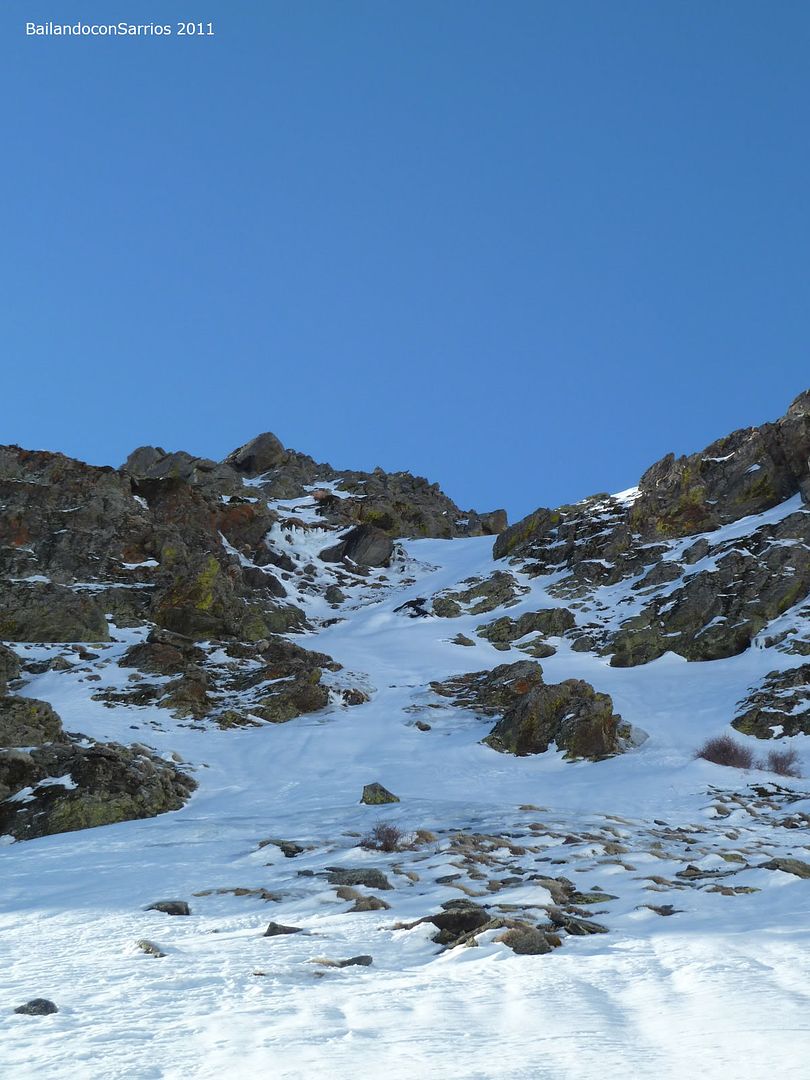
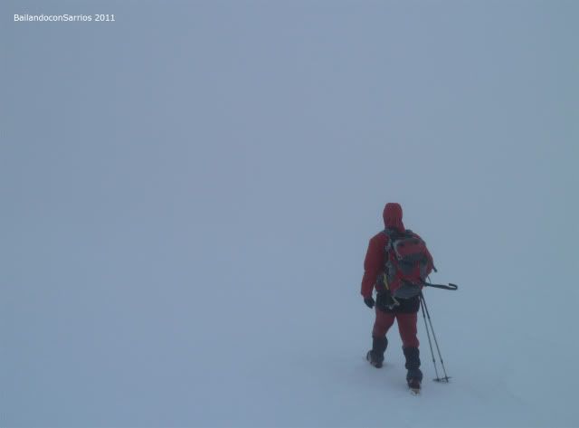
... the Barranco del Alhorí awaits us ...
... Arroyo del Alhorí disappeared under the snow ...
... on the other side of the creek ...
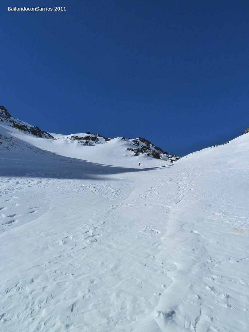
... where the slope increases ...
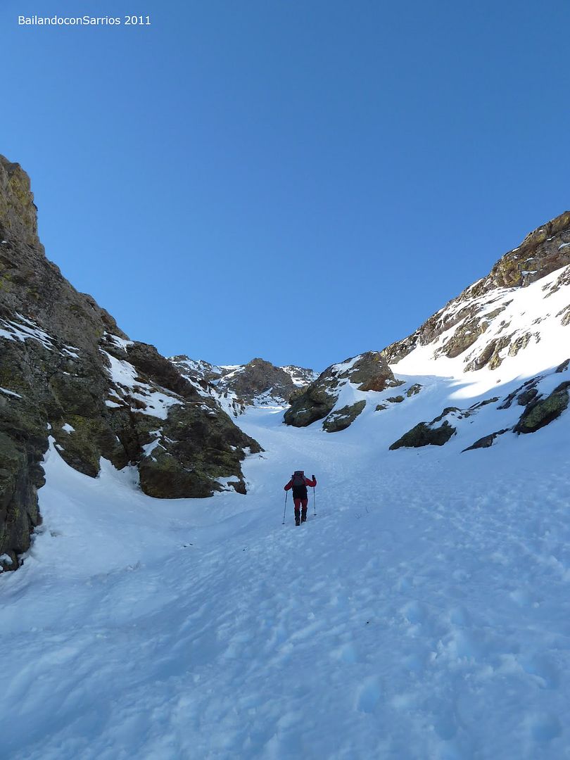
... significantly ...
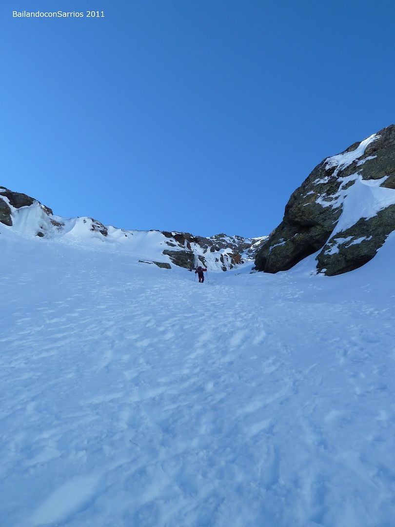
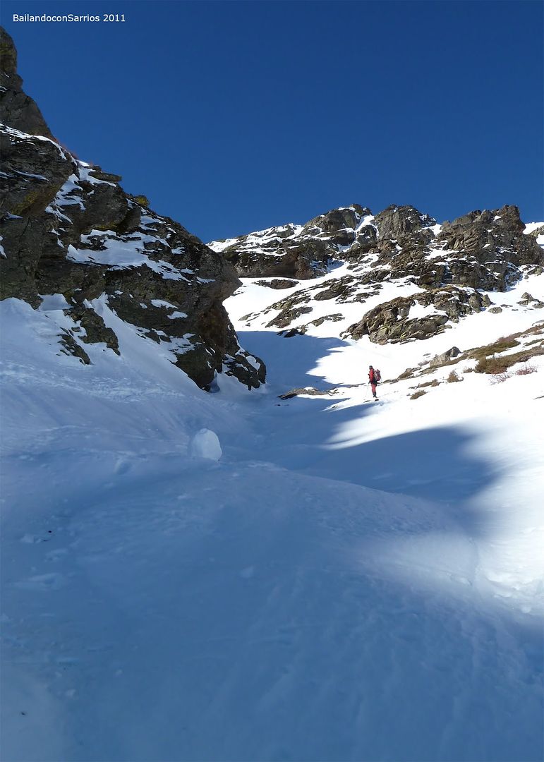
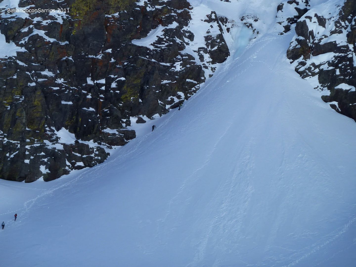
... Mane in the first place ...
... past the most difficult ...
... some small waterfall ...
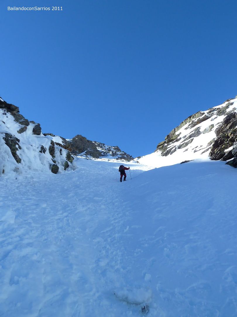
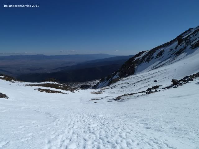
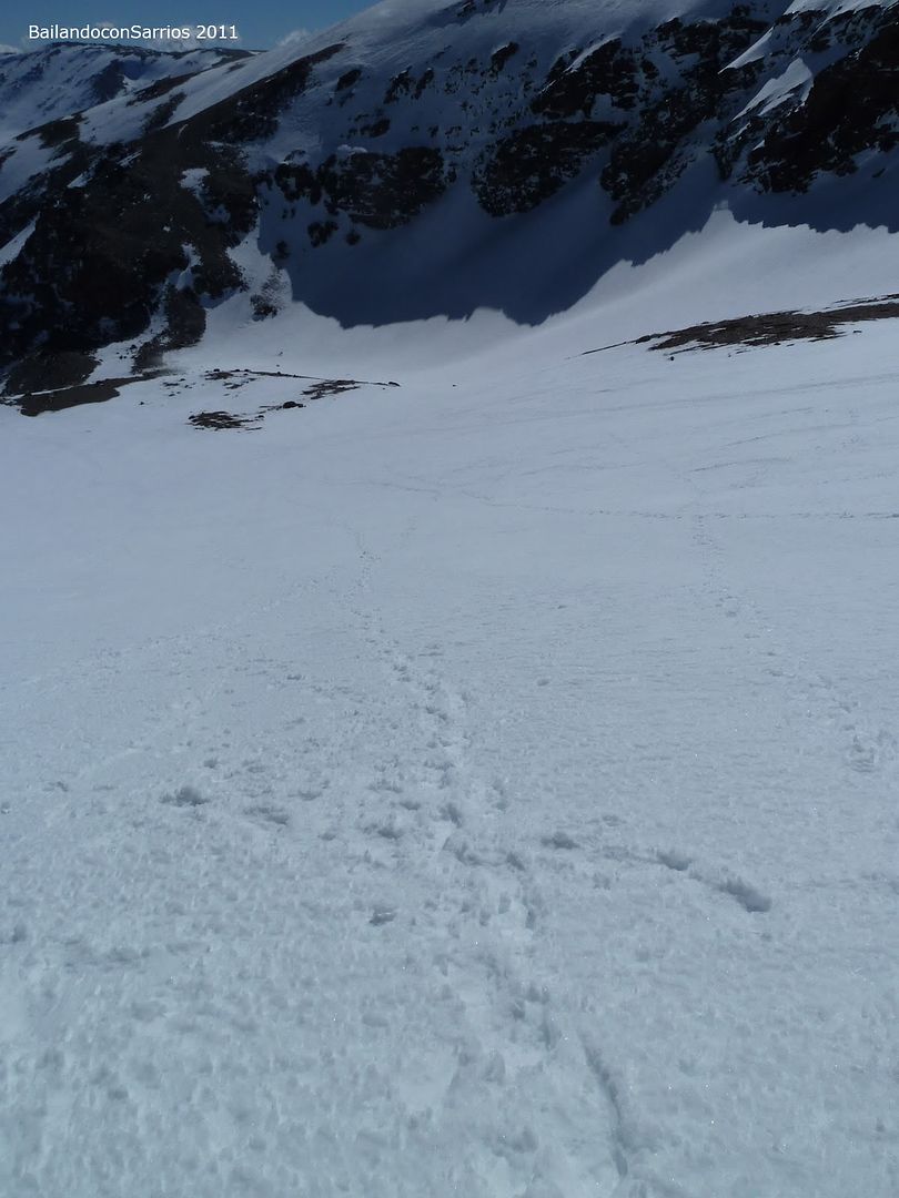
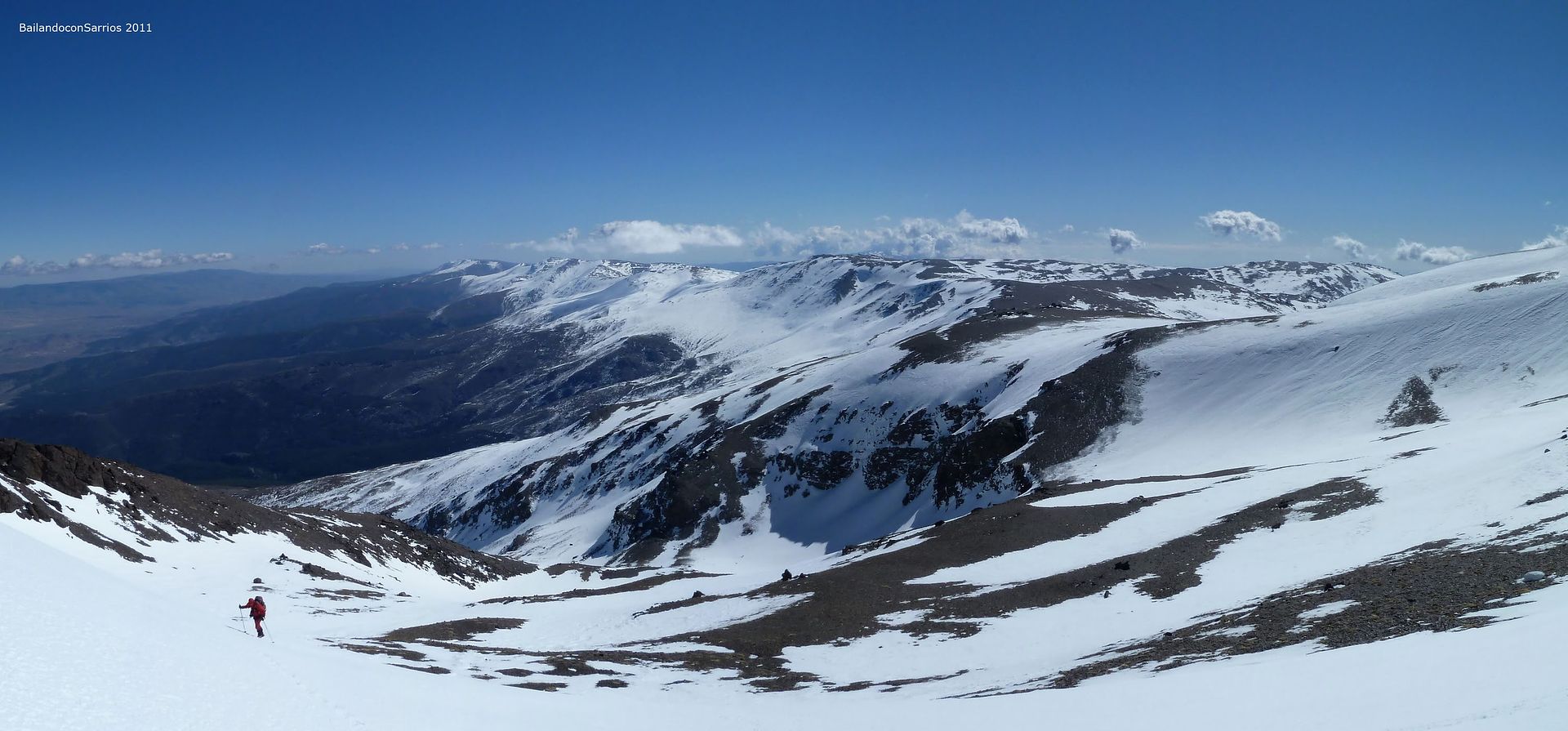
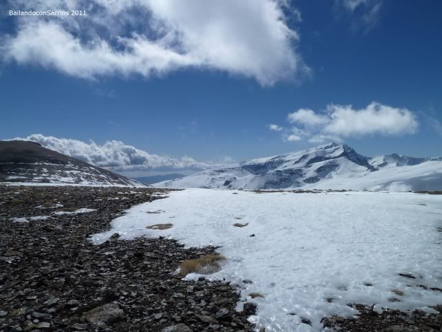
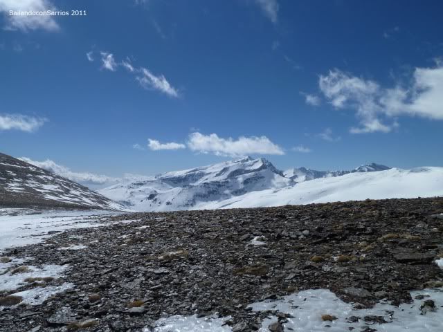
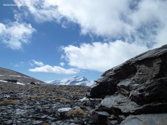
... Sierra de Baza is watching us from the NE ...
... Picon Jérez highway to ...
... Refugio Postero Alto is sensed in the firewall ...
... moving parallel to the ravine ...
... no loss ...
... enjoying the climb ...

... Mane is in a hurry to come ...
... contrasting colors and textures ...
... Arroyo Alhorí shown to us ...
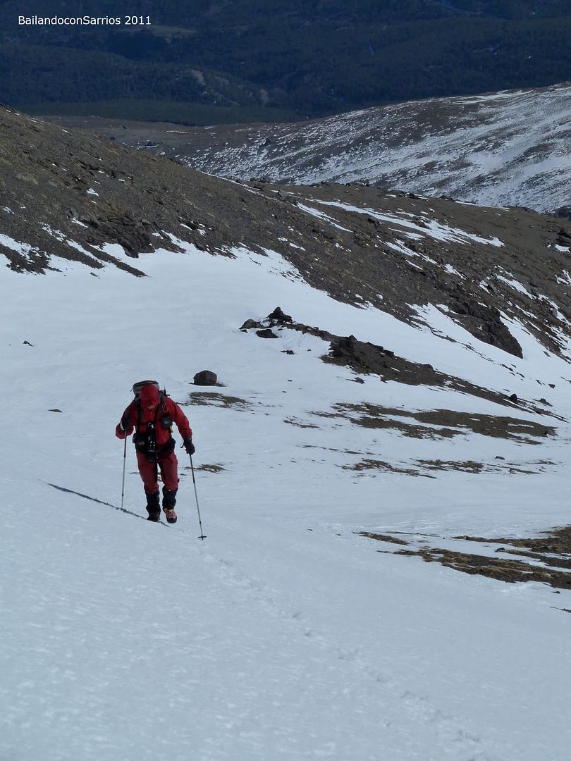
... the slope decreases ...
... forward on this small plateau ...
... absolute solitude ...
... hence we come ...
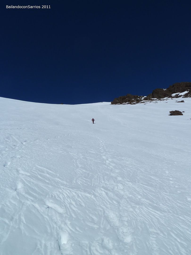
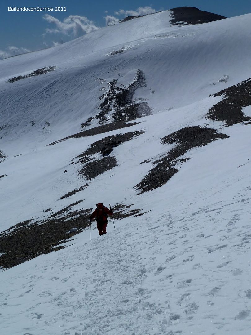
... the slope increases again ...
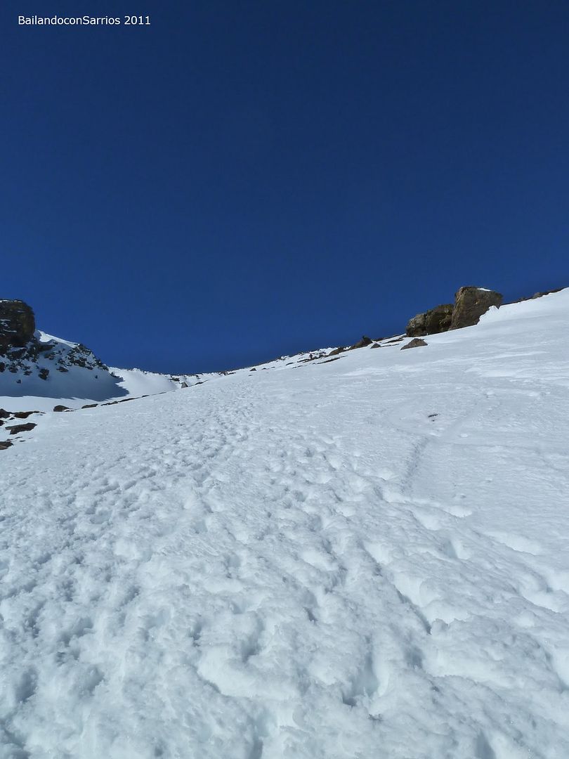
... eternal shovel full of footprints ...
... another pit stop ...
... to see the picture ...
... cordate the only area besides us ...
... and some peaks to the east ...
... but we must continue the climb ...
... leaving behind the second "plateau" ...
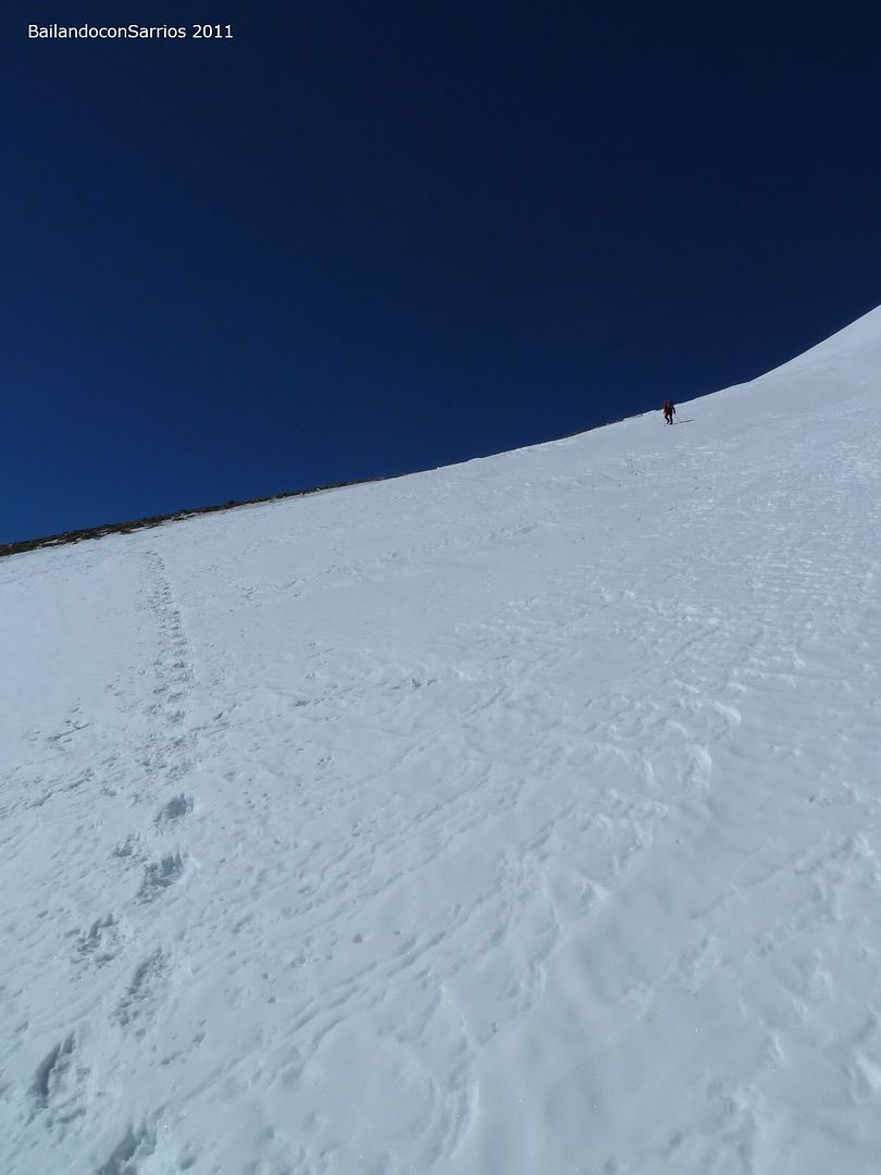
... way to the first peak of the day ...
... while greatly improving the view behind us ...
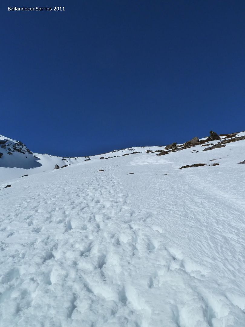
... following in the footsteps ...
... gaining altitude quickly ...
... Loma de Enmedio in the foreground ...
... where to descend ...
... a last ditch effort ...

... the first three thousand of the year we wait ...
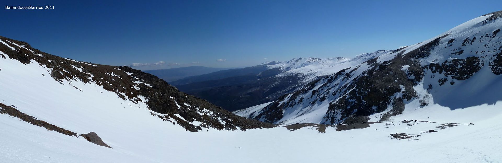
... Eastern Sierra Nevada ... more
... on a sunny day in February ...
... from a privileged position ...
... following in my footsteps ...
... escorted by numerous peaks lonely ...
... step by step ...
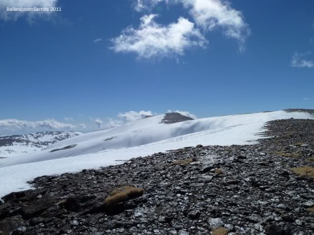
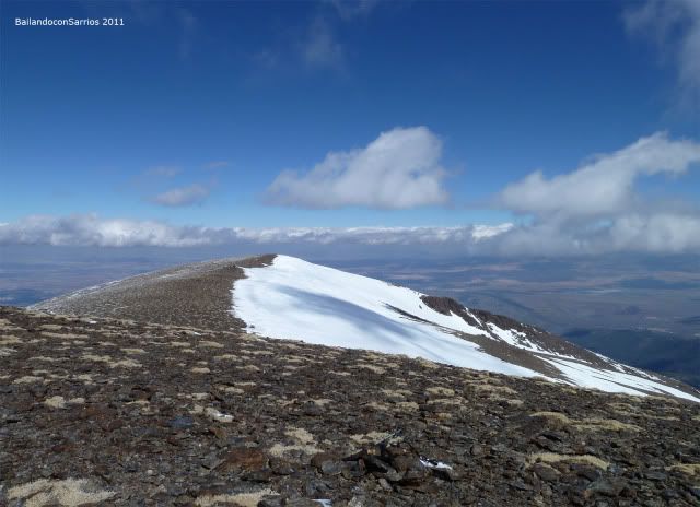
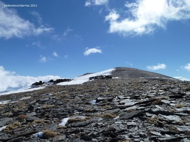
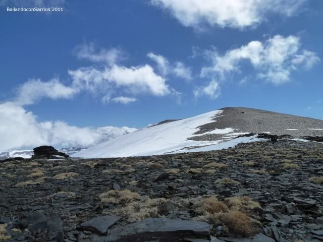
... Cerro Pelado to climb further in the distance ...
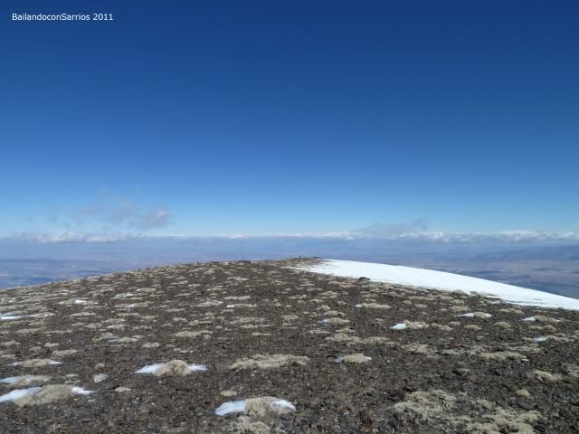
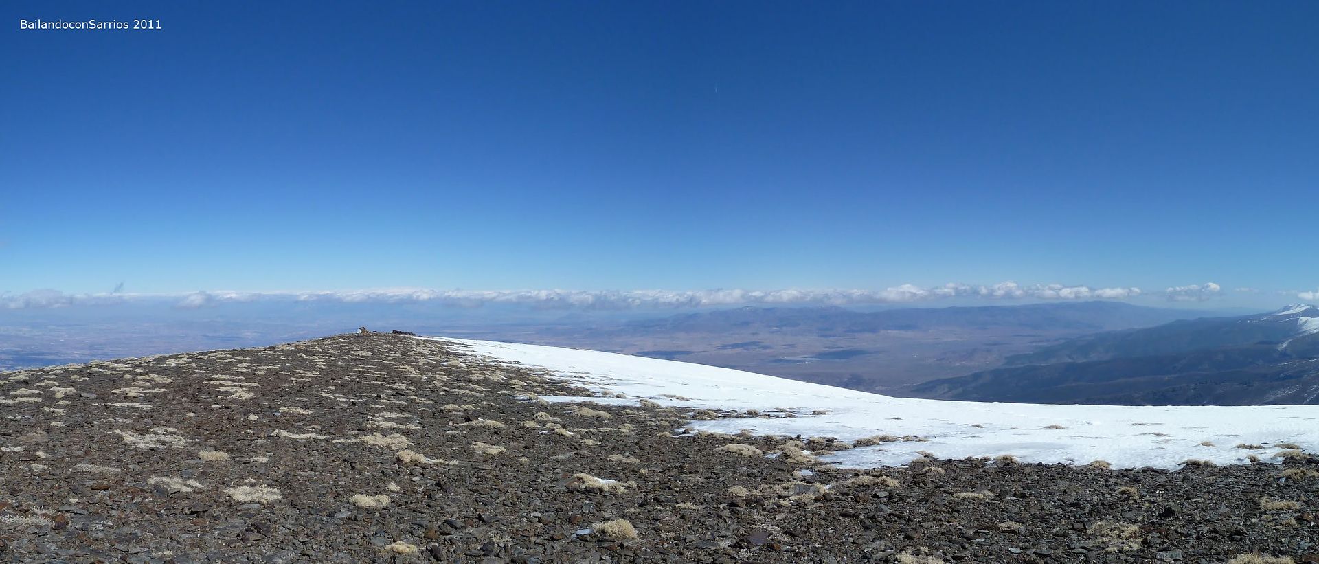
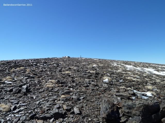
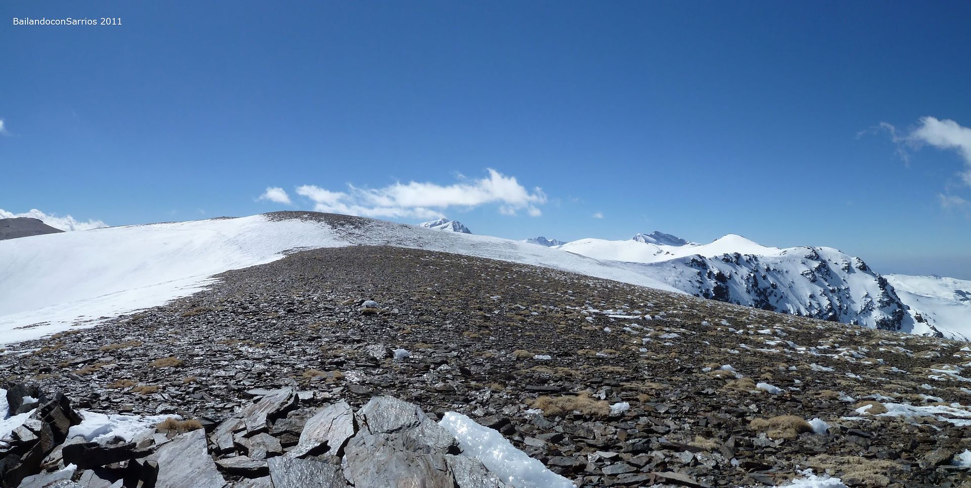
... to reach the wide ridge crest.
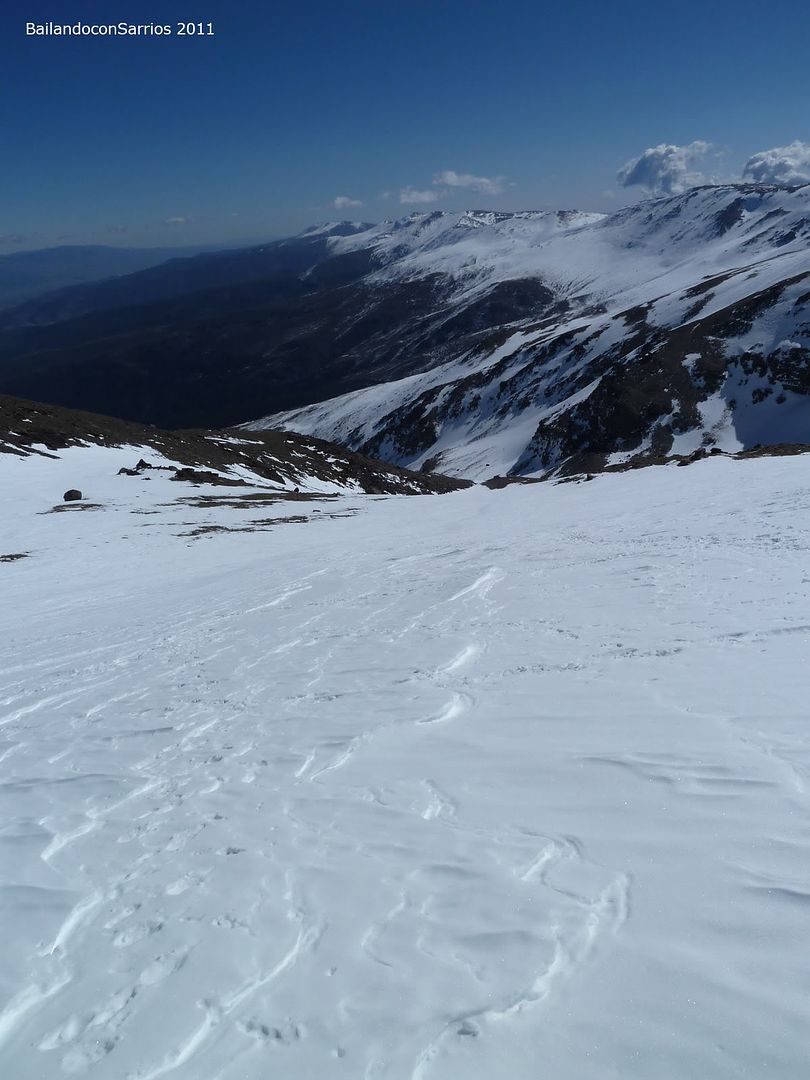
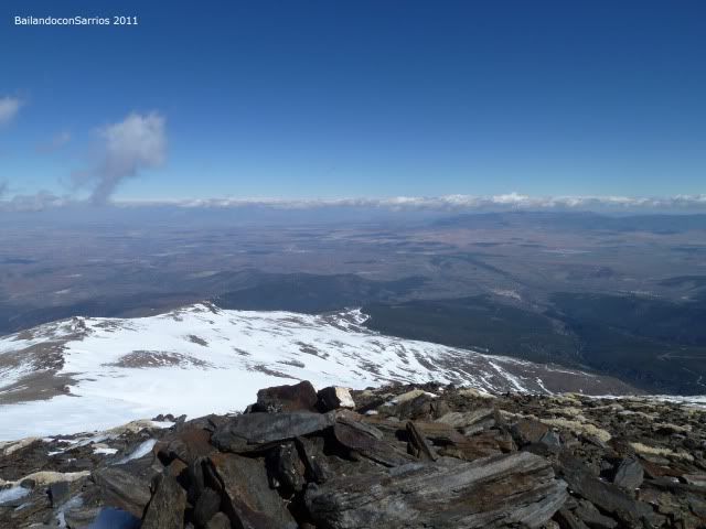
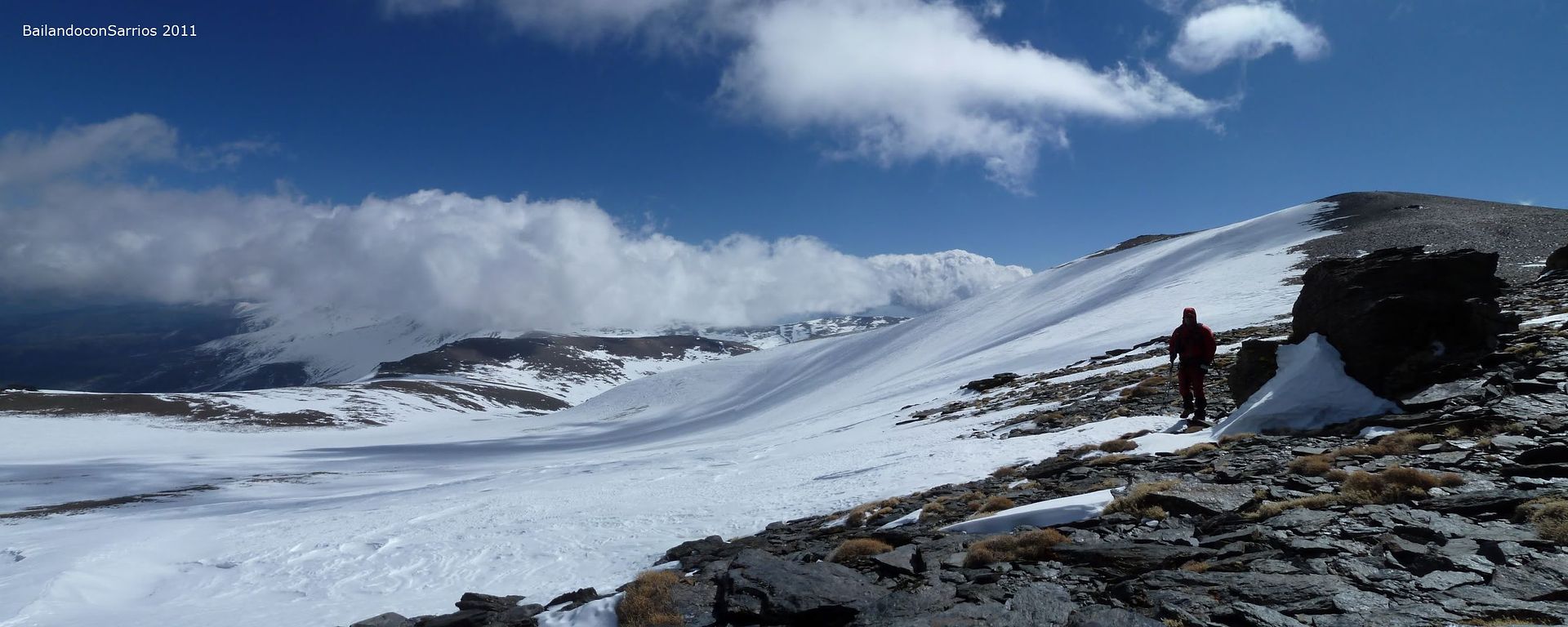
We at 3,100 meters above sea level, are 12:30, 04:15 h we have taken from the access lane to the shelter to the ridge between Jerez and Picon Brace face value, where the wind is terrible cold and uncomfortable.
We are approaching the Picon de Jerez in a northerly direction, crossing the gentle ridge looking slightly down from the trig point which marks the top ... only the wind and the cold makes us sense that we are more than 3,000 meters, soft contours and broad molars are the dominant feature of the landscape, nothing comparable to the Pyrenees, much more abrupt and steep, probably the oldest geological Béticos Systems facing the Pyrenees has something to do, erosion here has been effective. There
the trig point is located ...
... losing height of the ridge ...
... some emblematic begin to appear ...
... Road to the North end of the tailpiece ...
... where is located the Picon de Jerez.
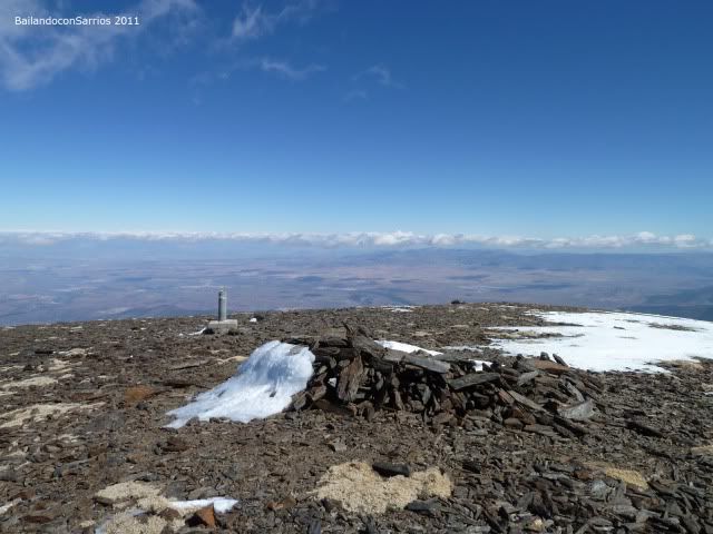
The wind is unbearable and what is left to the Cerro Pelado ... leave backpacks next to existing bivouac on top, identifiable by its geodesic is that, rather than a three thousand independent, Picon of Jerez seems an extension of face value Strut ...
... I'll come up there to see if the wind blows least ...
... the top few feet above ...
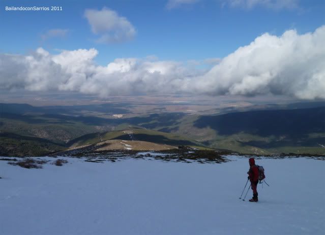
... Grenadian people at our feet ...
... and multiple peaks to ascend.

The wind blows like it to go back to the top to make us the required pictures before retracing our steps along the ridge in search of the strut and Cerro Pelado face value is that with the wind it, the better mobilize as soon as possible ...
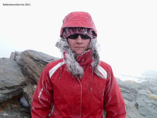
... Mane in the frozen state in our first three thousand in 2011.
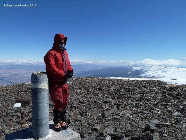
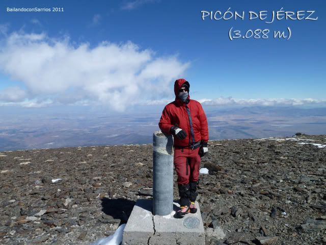
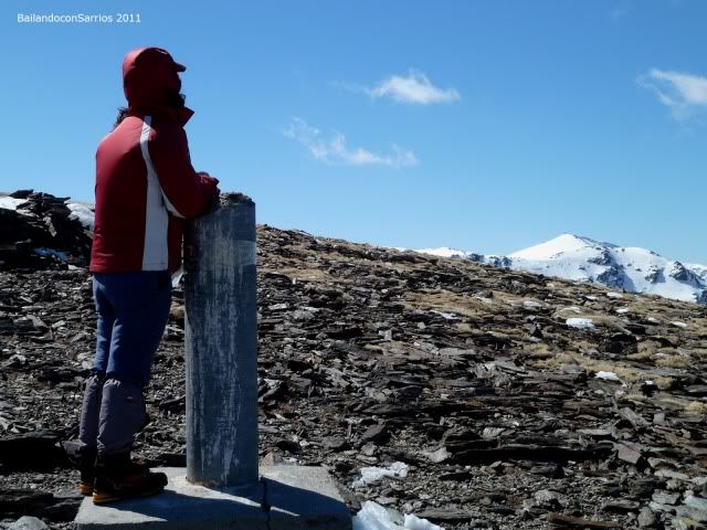
Jérez Picon Cima (3,088 m).
My turn on the windy top ...
... Future looking windswept objectives.
impossible to make a technical stop, we must find a more guarded in our journey to the Cerro Pelado ...
... we said goodbye to the top ...

... Cerro Pelado at the end of the ridge ...
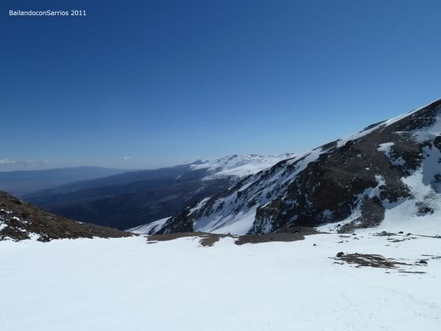
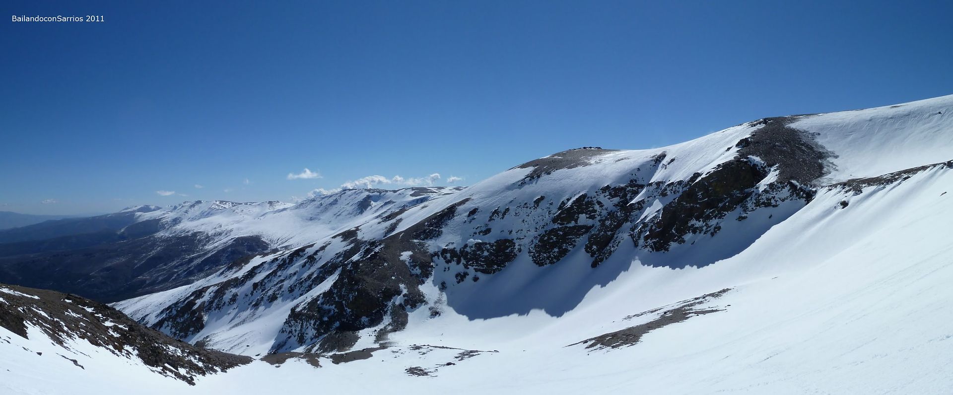
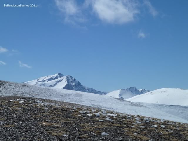
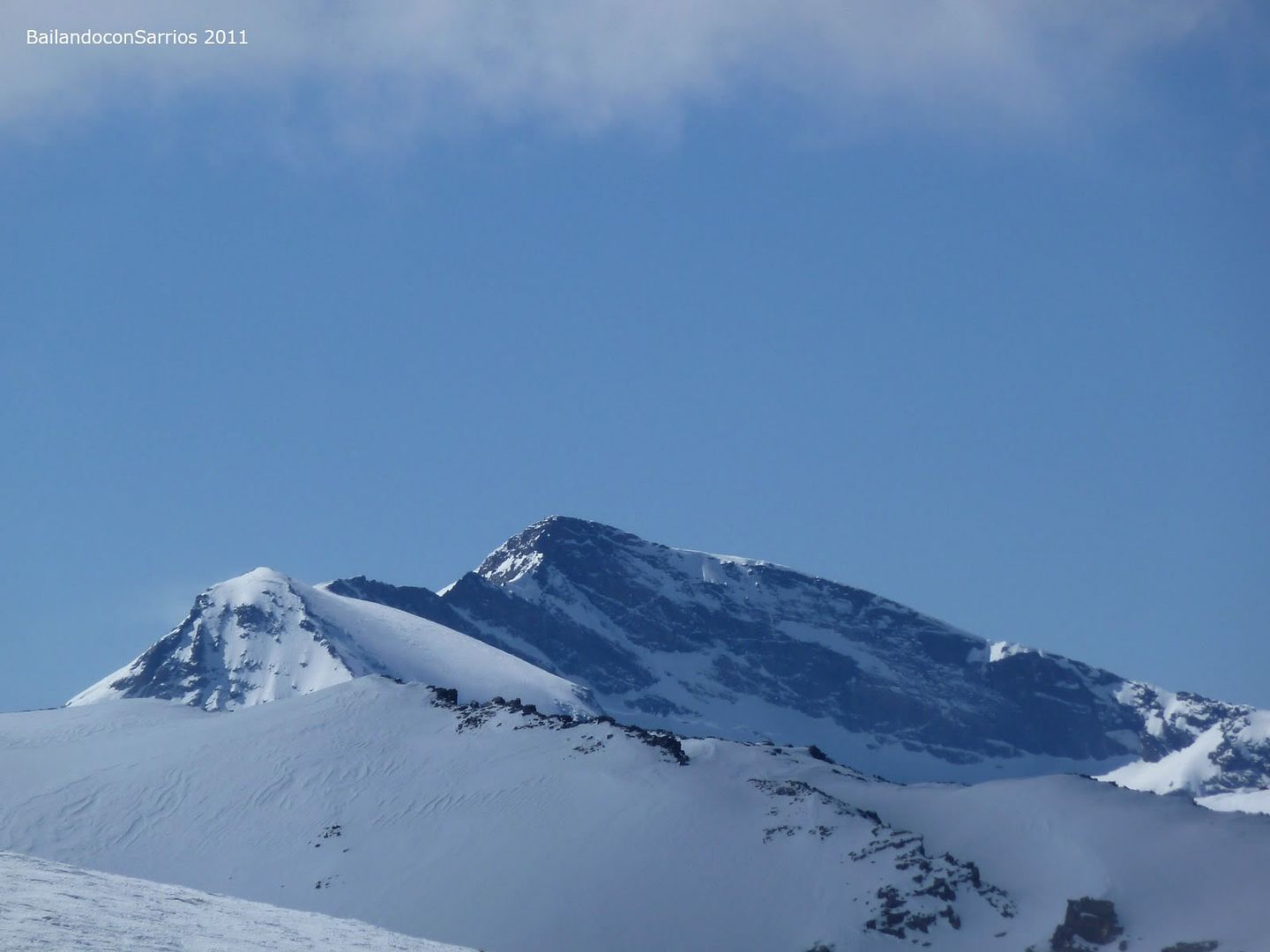
... Mulhacén and ALCAZABA a little closer ....
... Strut the way to the southward face value ...
... from a small intermediate level ...
... VANE ...
... Depth of face value is close ...
... the ridge we've come ...
... last mile ...
... to reach the second three thousand of the day ...
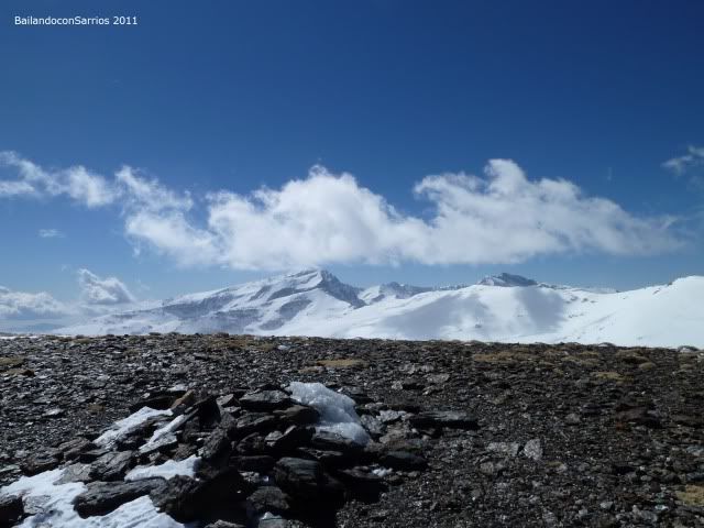
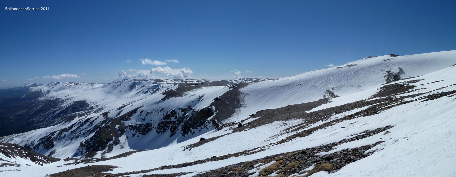
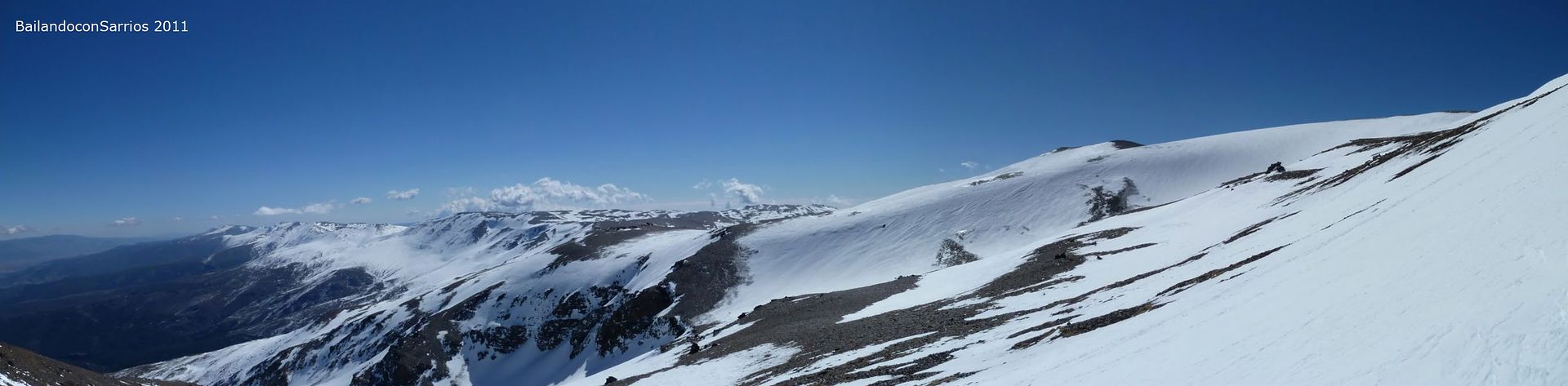
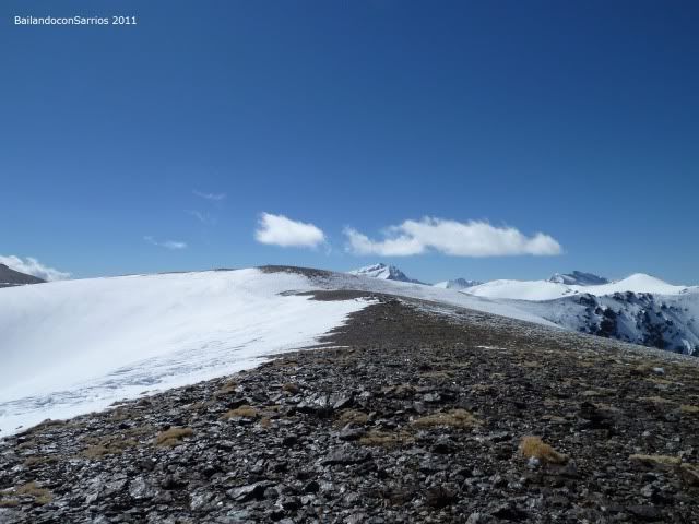
... where we see the three iconic Sierra Nevada ...

... the near Cerro Pelado ...

... now in panoramic ...

... Well try to keep the wind ...
... Jerez cinder north ...
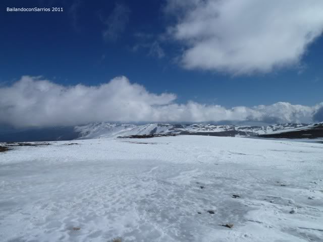
... from this plateau above 3,000 meters ...

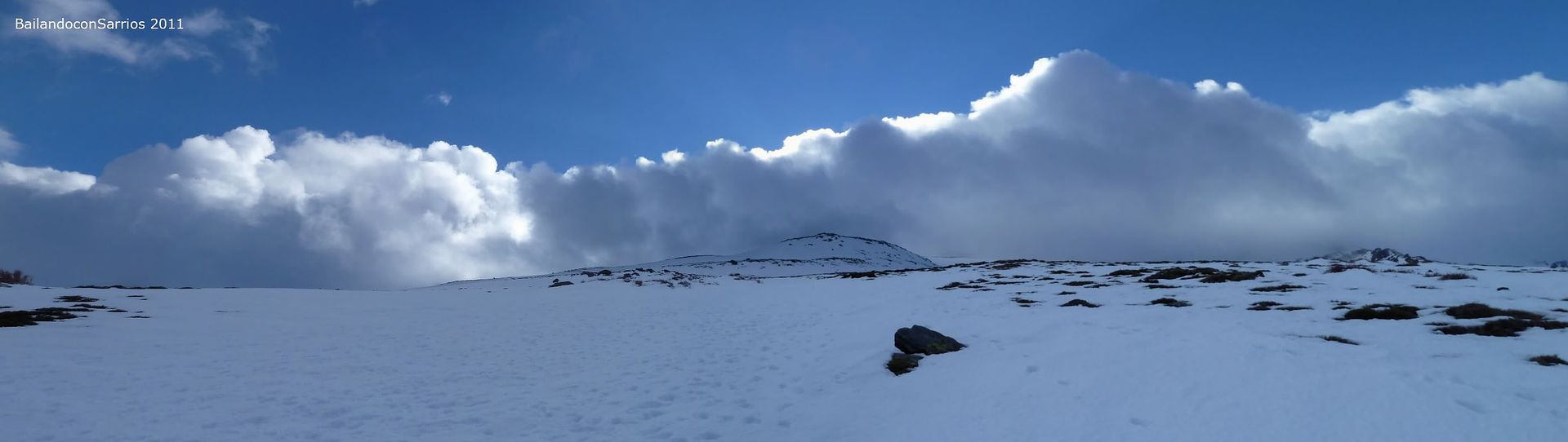
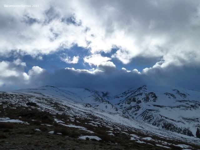
... as the clouds begin to make an appearance.
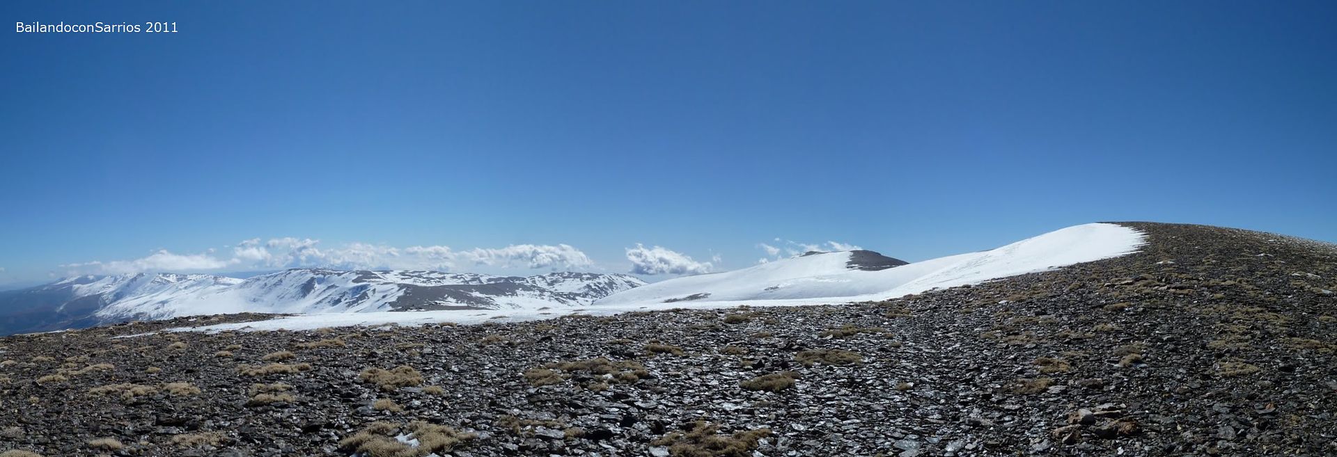
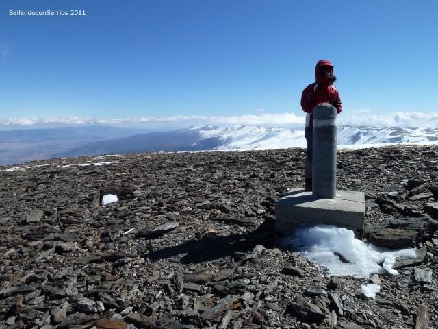
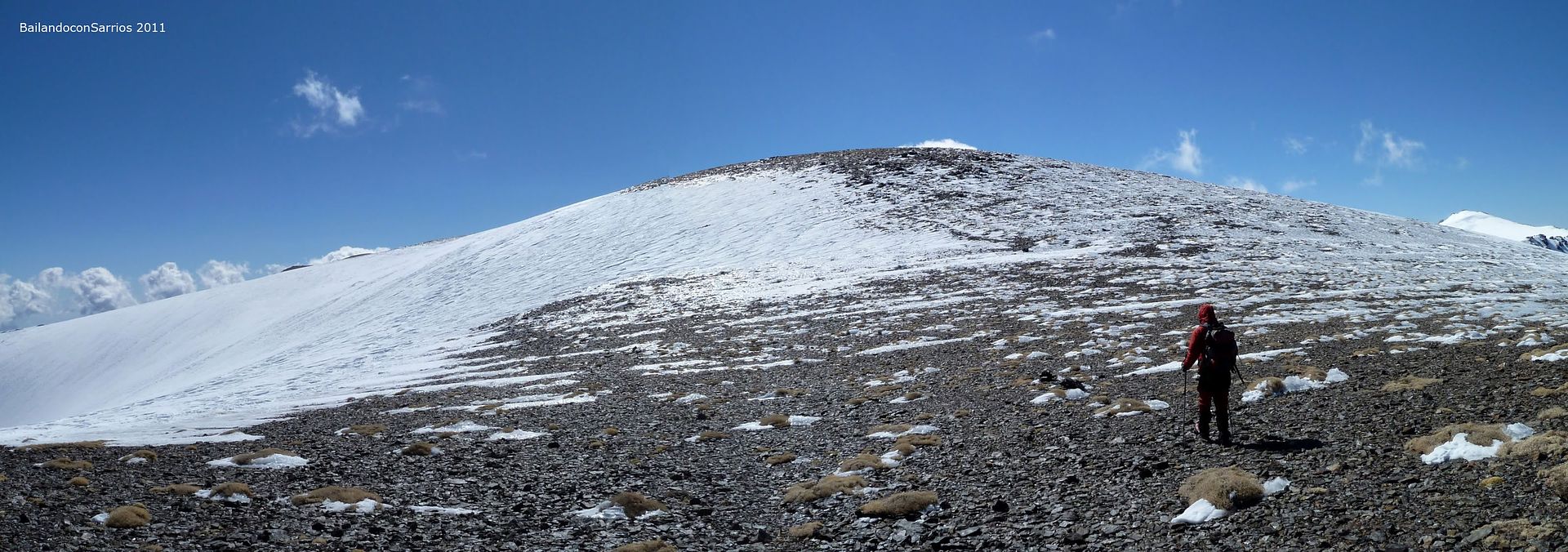
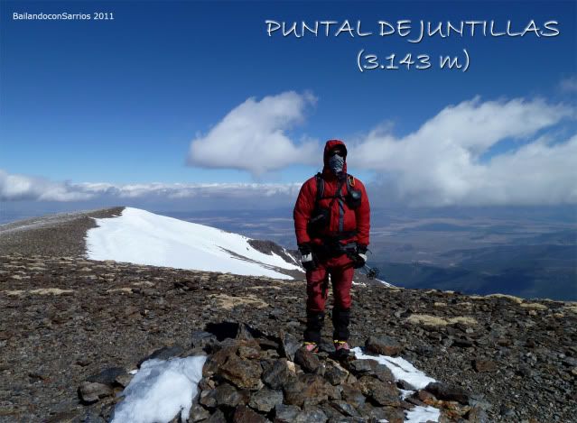
Juntilla Strut Bluff (3,143 m).
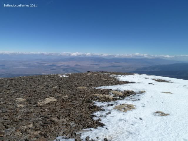
took almost an hour touring the ridge by the chilly wind whipped without finding no single place where we a little respite, at 3,000 meters, the weather is changing and the clouds are beginning to become ever more numerous ...
... Cerro Pelado awaits us ...
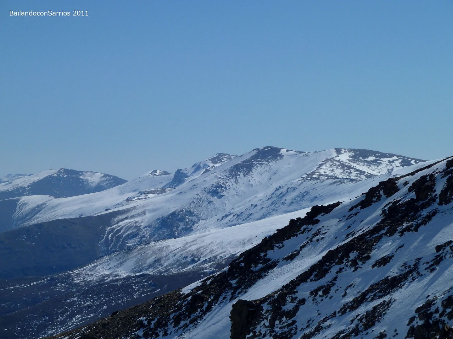
... noting the high peaks of Sierra Nevada ...
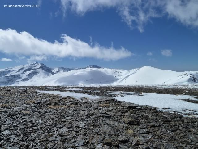
... North Face Mulhacén these and Fortress ...
... the hill prior to the Cerro Pelado ...
... where the views are spectacular ...
... and the start of the Loma de Enmedio through which descend to the refuge ...
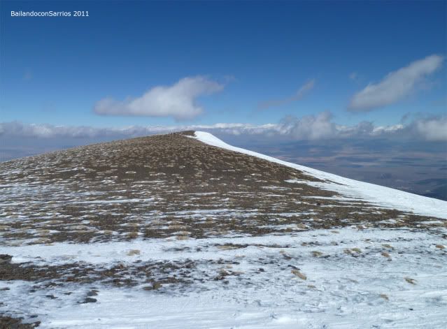
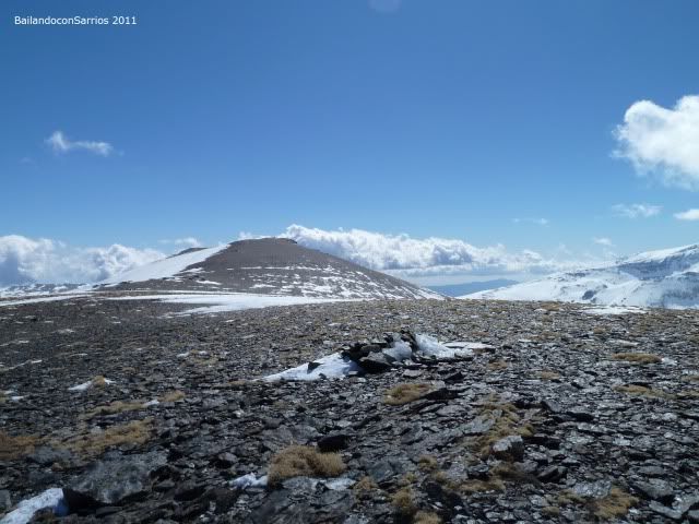
... Cerro Pelado lives up to its name ...
... summit watch us ...
... way to the top ...
... enjoying the view.
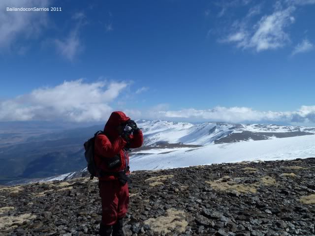
We huddled behind a rock ledge to protect us from wind and eat something "quick" (30 minutes), we are hungry, cold forces has diminished ...
... the view from our little shelter from the wind ...
... the top is very close.
eat
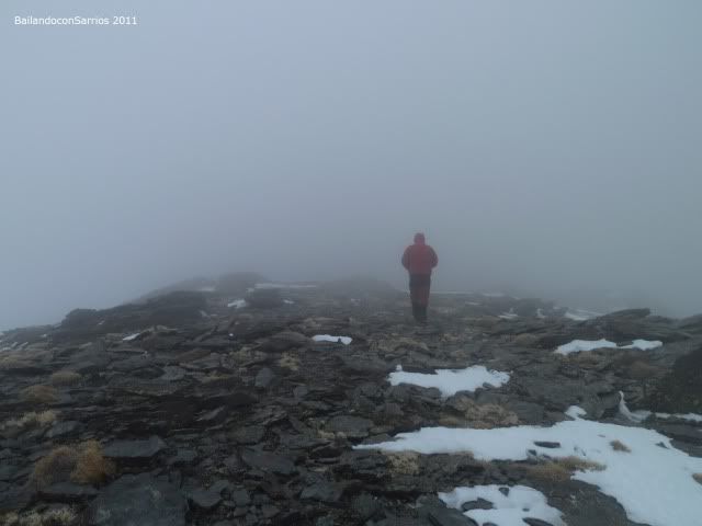
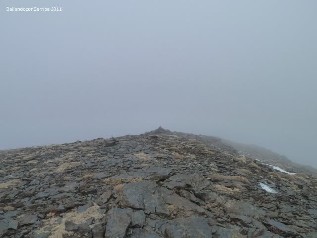
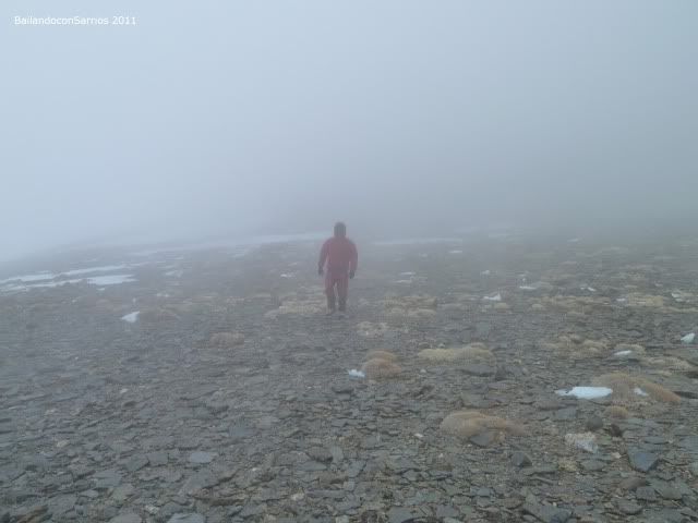
as fast as we can, it is not easy to chew and chattering at once, while the picture keeps getting uglier, the clouds moving from the North and in just 20 minutes the visibility is zero ... only 70 meters between us slope of Cerro Pelado, we can not leave without making a visit so we left our backpacks and headed to the top ...
... nice picture ...
... nothing to do with a while ago ...
... following milestones ...
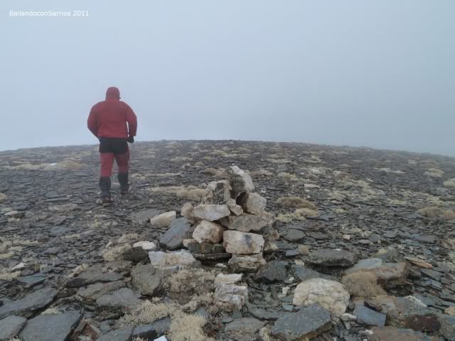
... near the peak.
Cima del Cerro Pelado (3182 m).
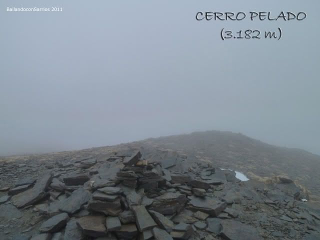
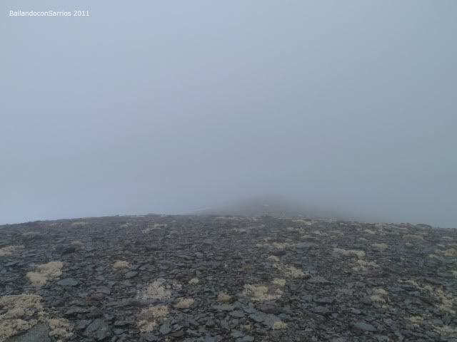
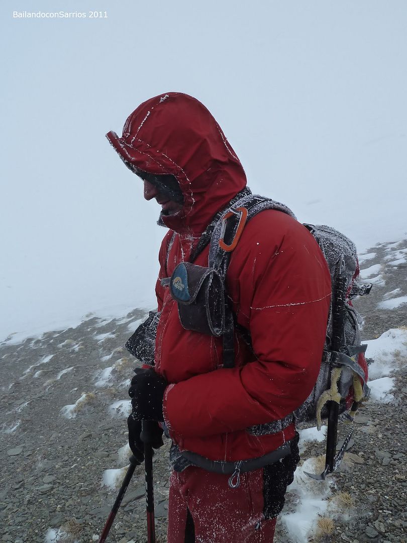
Blizzard is strong and the visibility is zero so we crossed top and began the descent, Mane has completely frozen hands despite the gloves have to come back another time to enjoy the view .. .
... Blind descent towards the hill ...
... someone will be delayed due to cold ...
... my hair attests to the adversity of the weather ...
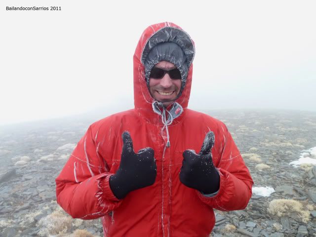
... better not lose your smile.
recovered the bags and we set off towards the saddle between Cerro Pelado and Brace face value, from which descend the hill of Enmedio up to the Refugio Postero Alto ...
... roamed the hill.
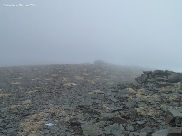
Thanks to GPS, we located the saddle without problems and the beginning of the Loma de Enmedio by which we descend in the dark, not to mention the wind ...
... ahead without visual references ...
... for a long time ...
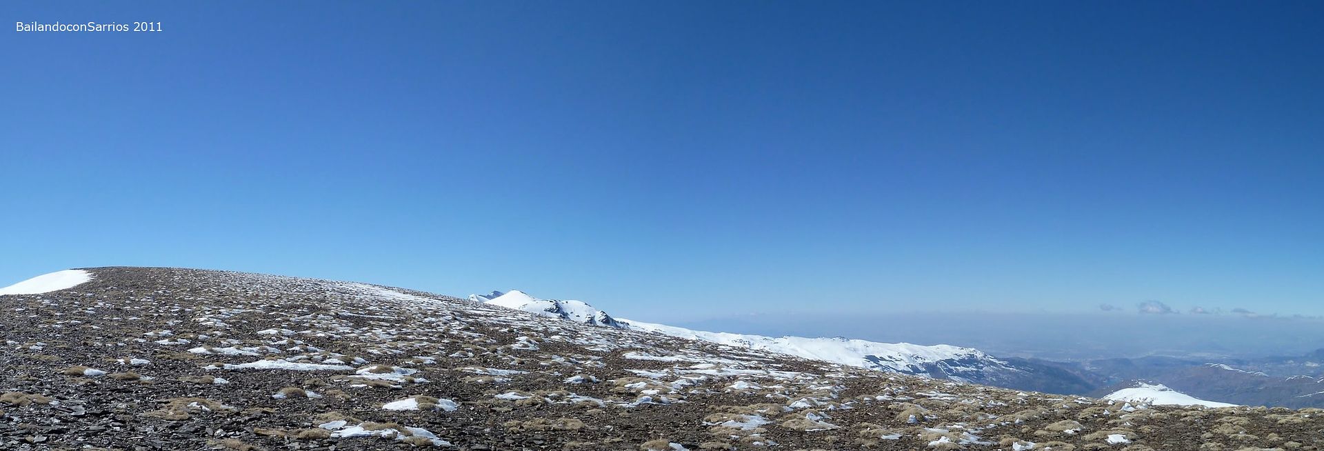
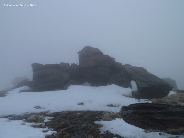
... to reach the base of the Stone of Thieves.
We
2,940 meters next to the Top of the Rock of Thieves, and go round without passing through the highest point down soon and we better not waste any more time, maybe next time ...
... semicongelacción state of ...
... In the middle of the hill of moderate slope ...
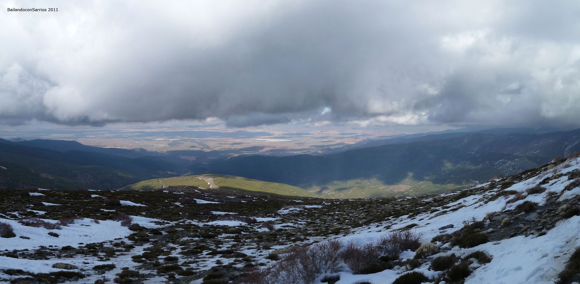
... the visibility starts to improve around 2,500 meters altitude ...
... will have to seize this moment ...
... rapid decline ...
... as the clouds hit the highest levels ...
... in all directions ...
... Fortunately, now look at it from a more comfortable position ...
... what remains is a breeze ...
... a look at the Loma de Enmedio ...
... milestones in the fall by the Cañada Real de Trevélez, which runs along the ridge ...
... way to shelter ...
... the snow is gone ...
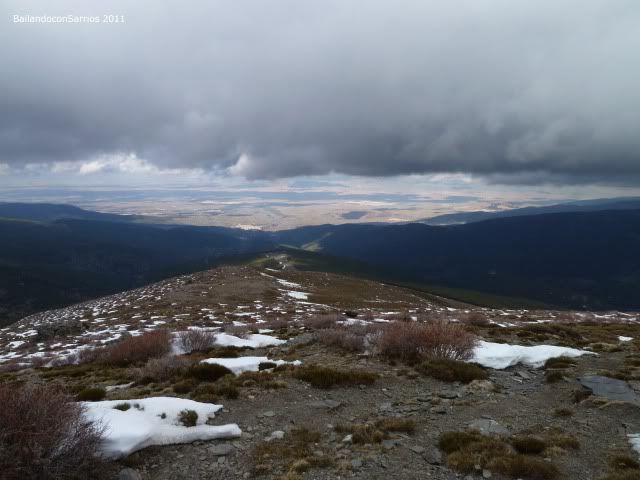
... bird's eye view ...
... from there we come ...
... enjoy your meal ...
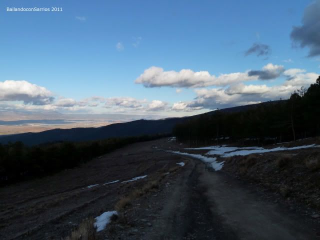
... and near the firewall ...
... Weird clouds ...
... on the peaks of Sierra Nevada ...
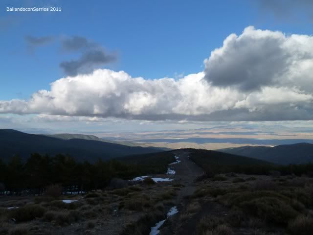
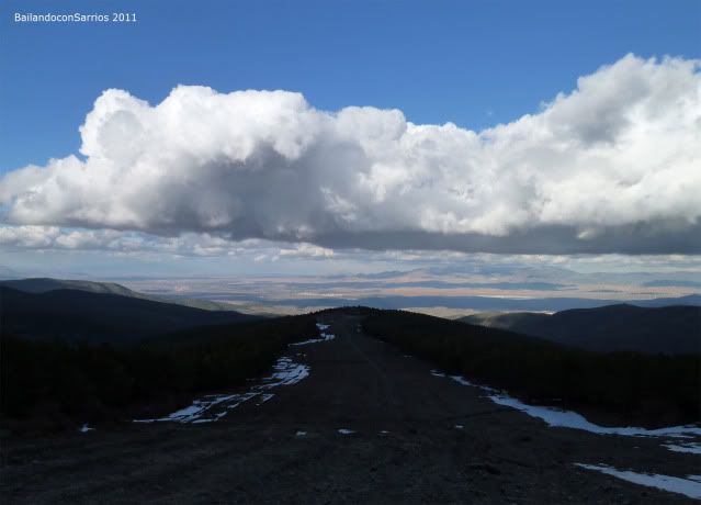
... Postero Alto, lonely during the day today ...
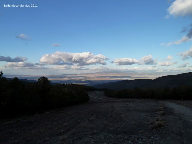
... last look ...
... back down the lane ...
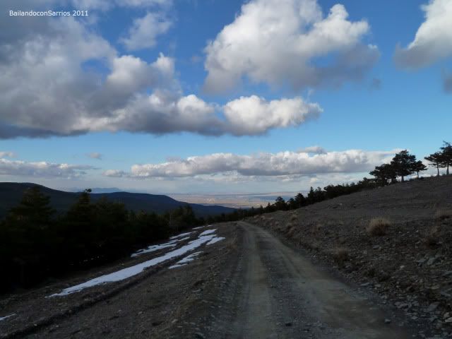
... running through the firewall ...
... toward the starting point.
At 18:00 hours we reached the van and we set off down the lane and the track until the Marquis Jerez and then to the village of La Calahorra (Granada), where we spend the night a little more warm than the last, today we deserved ... :)
The video version of our first three thousand of the year ...
For other ascents in Béticos Systems, click on this link: INDEX SYSTEMS Ascension.