2.010/11/05
Continuing SPAIN The ROOFS , We approached the Sierra de la Demanda to ascend to the highest point of the province of Burgos by its north side, crossing the River Valley Urbión. The rugged
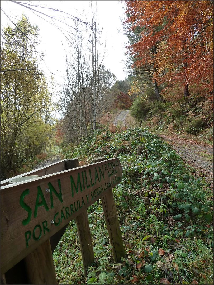
circular route through the Sierra de San Millán, branded two summits:
- SAN Miller, Torruco OR THE DOCK (2132 m). Roof of the province of Burgos.
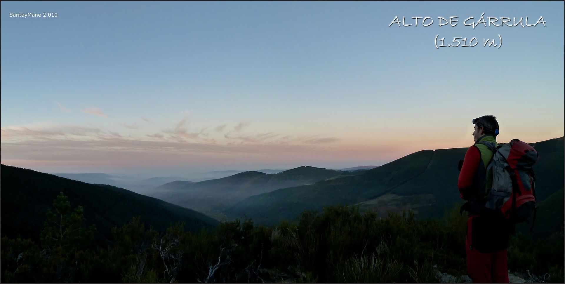
- HIGH garrulous (1,510 m)
SITUATION
Sierra de San Millán. Sierra de la Demanda. Sistema Ibérico.

POINT
Zarcia recreational area.
From the road BU-P-8101 at the height of the village of Soto del Valle, located between Pradoluengo Valmala and continue along the existing bypass South toward Santa Cruz del Valle Urbión. The main road through town and out of himself becomes a forest track towards the Recreation Area Zarcia well signposted. Existing at the first fork go left at the direction of "The Majadas reaching Zarcia Refuge and own recreation area, where you can park your car.
To get to Santa Cruz del Valle Urbión or Urbión (Burgos), see REPSOL GUIDE.
MAPPING
Sheet No 239 II (40 - 21) Pradoluengo 1:25.000. National Topographic Map of Spain MTN25.
Sheet No 239 IV (40 - 22) Pineda de la Sierra 1:25.000. National Topographic Map of Spain MTN25.
MAP

Wikiloc MAP
SUMMARY
DIFFERENCE: 1,350 meters (+/-)
TOTAL DISTANCE: 15 km .
TOTAL TIME: 09:15 hours.
DIFFICULTY: Easy (F). Itinerary
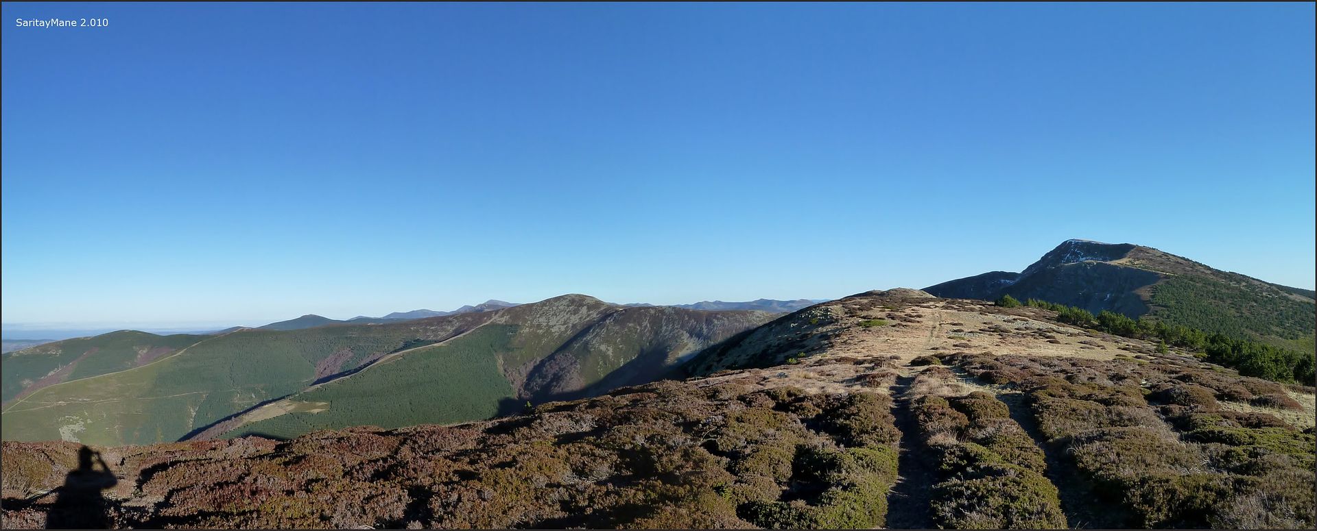
path outside the rise from the Laguna de San Millán up the ridge crest of the Sierra Larga between San Millán and Trigaza. The Wading River
Urbión can be complicated depending on the season.
MATERIAL: Nothing noteworthy.
WATER: You can get water at various points of travel.
GPS TRACK LOG
Click on this link: 20101105 SAN MILLAN WikiLoc
ASCENSION
In just three hours from Madrid we plant in Santa Cruz del Valle Urbión in search of Recreational Area along the main road Zarcia access to the people ...
... we are on the right track.

continue At the next fork to the left following the indication of "where stone" until we reach the Refuge under a starry sky Zarcia impressive, we parked in their own recreational area, a few meters further south than the shelter ... After dinner, we get fast in the sack, it's time to sleep ...
... the next morning, the haze flooded the valley while we finish preparing breakfast and bag ...
... the solitary recreation area ...

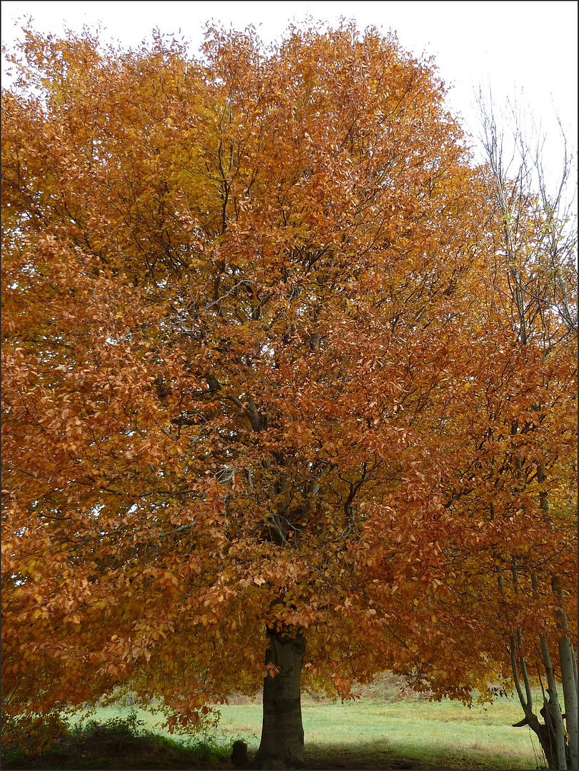
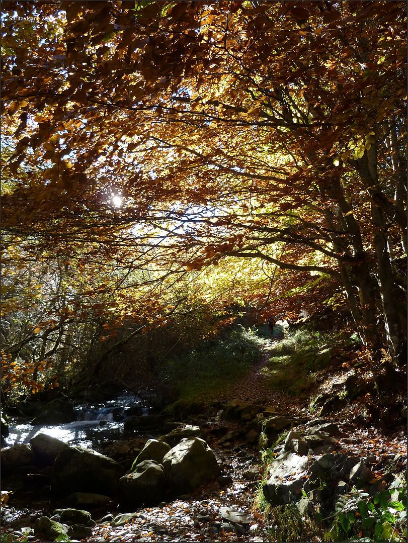
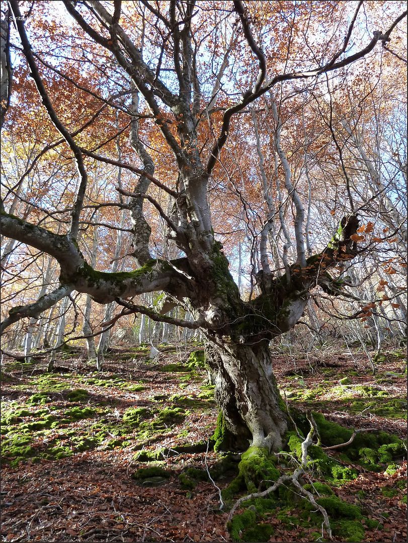
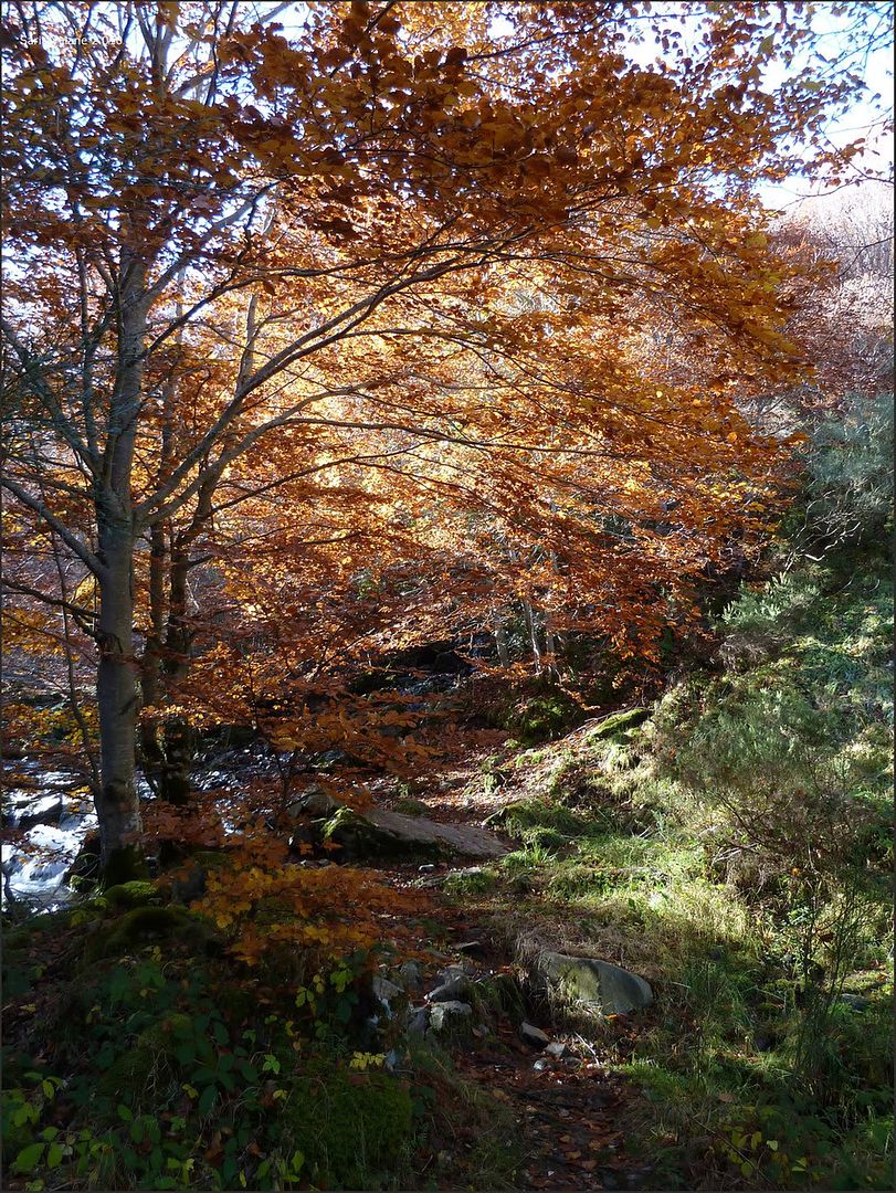
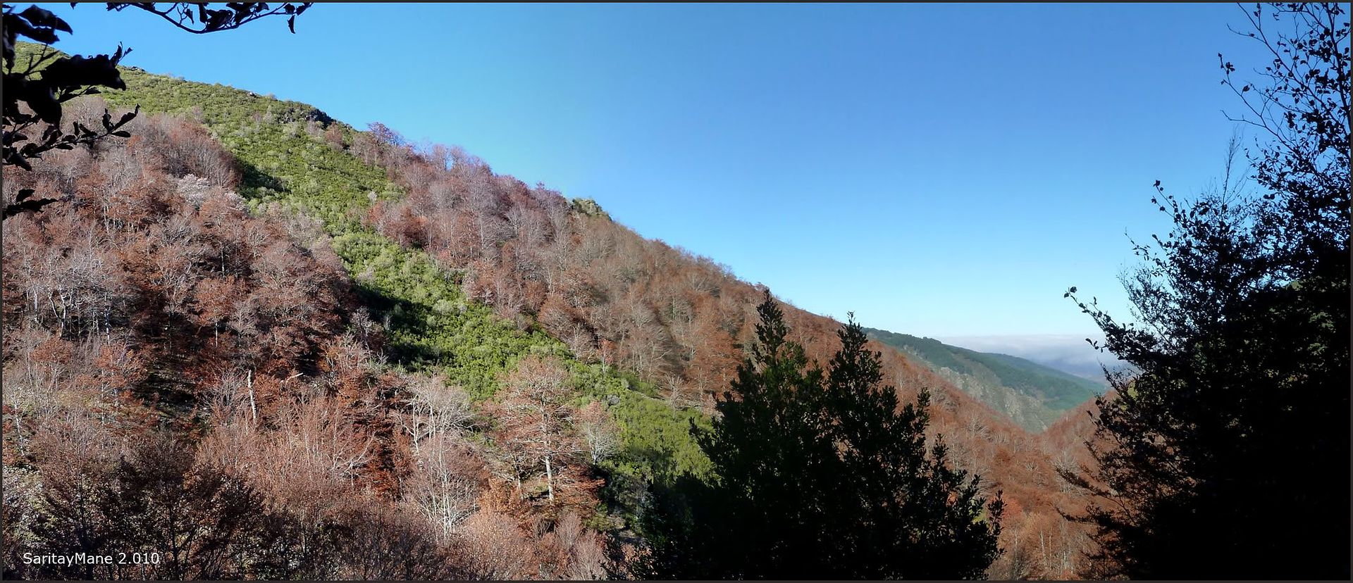
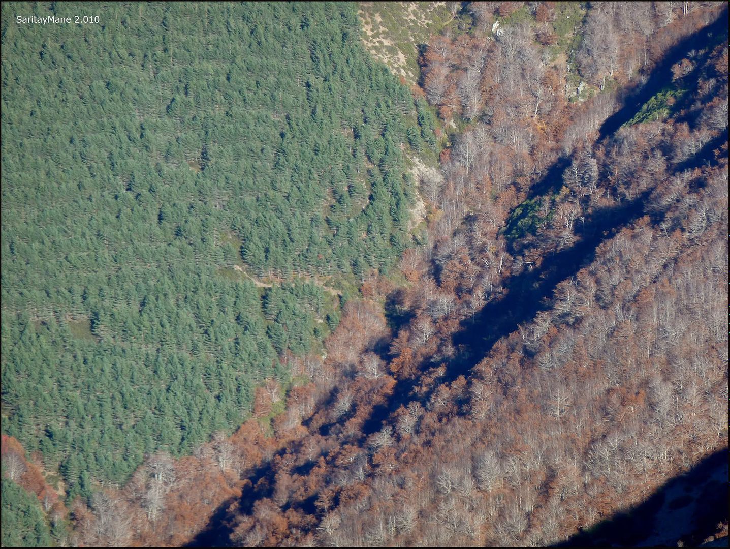
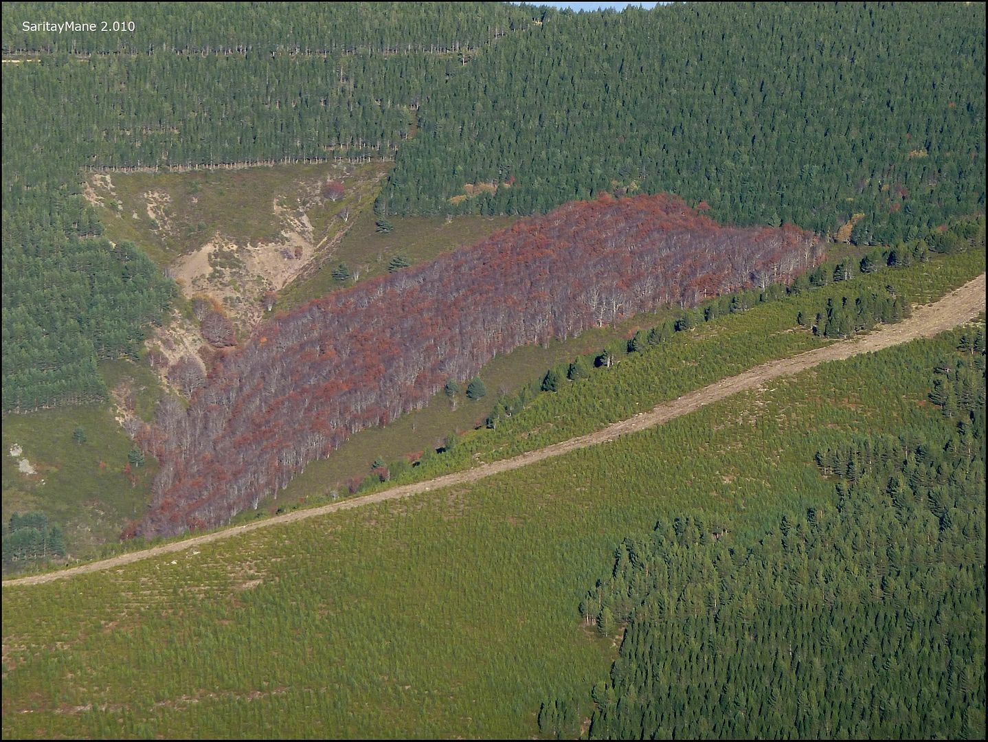
.... impressive beech ( Fagus sylvatica ) stained red.
A few minutes later, a countryman and a compatriot of Santa Cruz del Valle Urbión give us good morning, both up here every morning for a ride ...
... the existing sign in the recreation area ...

... access track here ...

... chat before start.
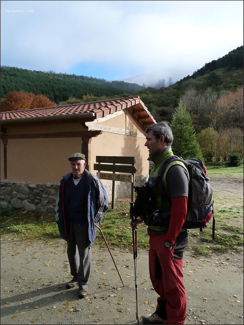
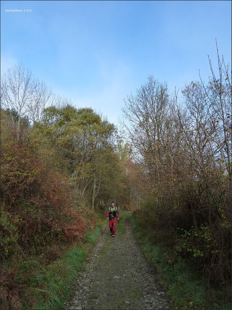
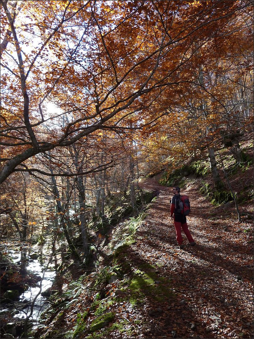
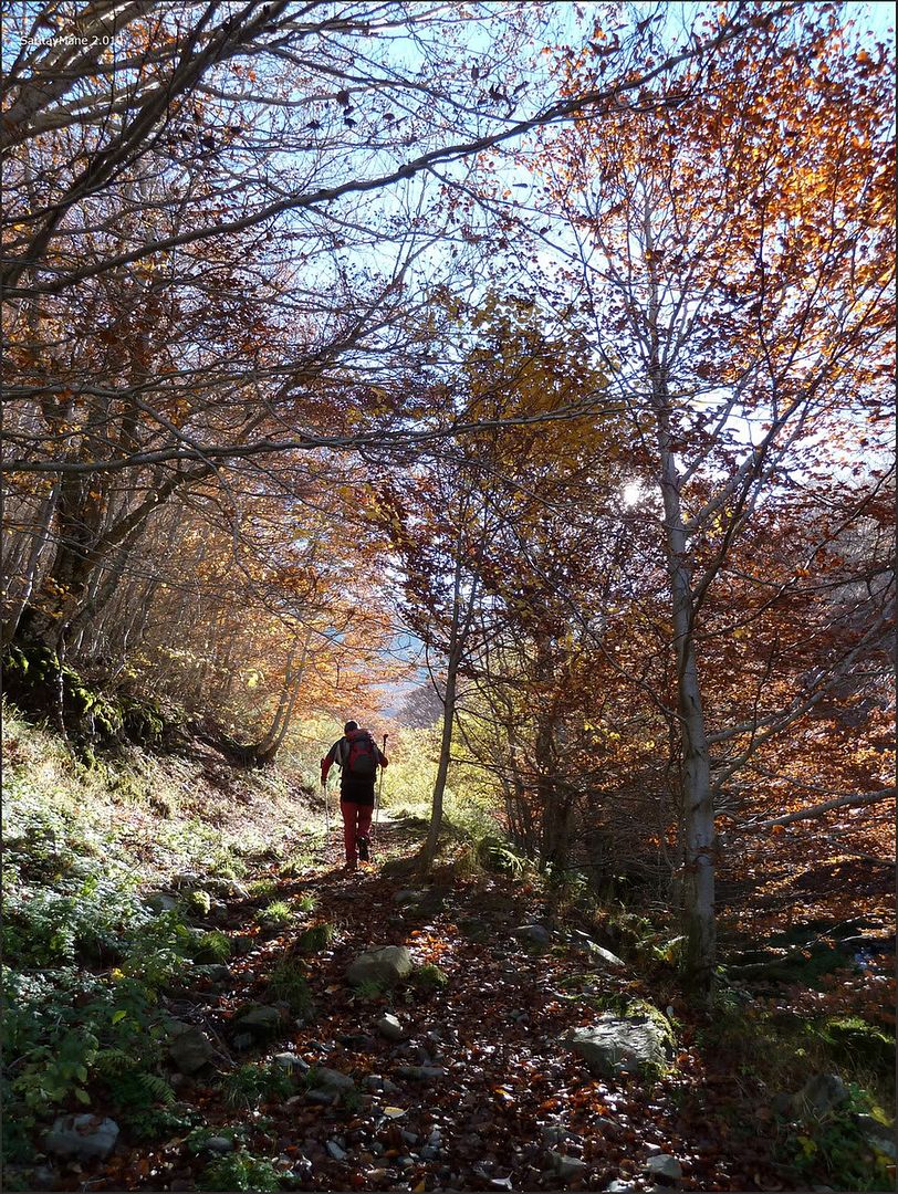
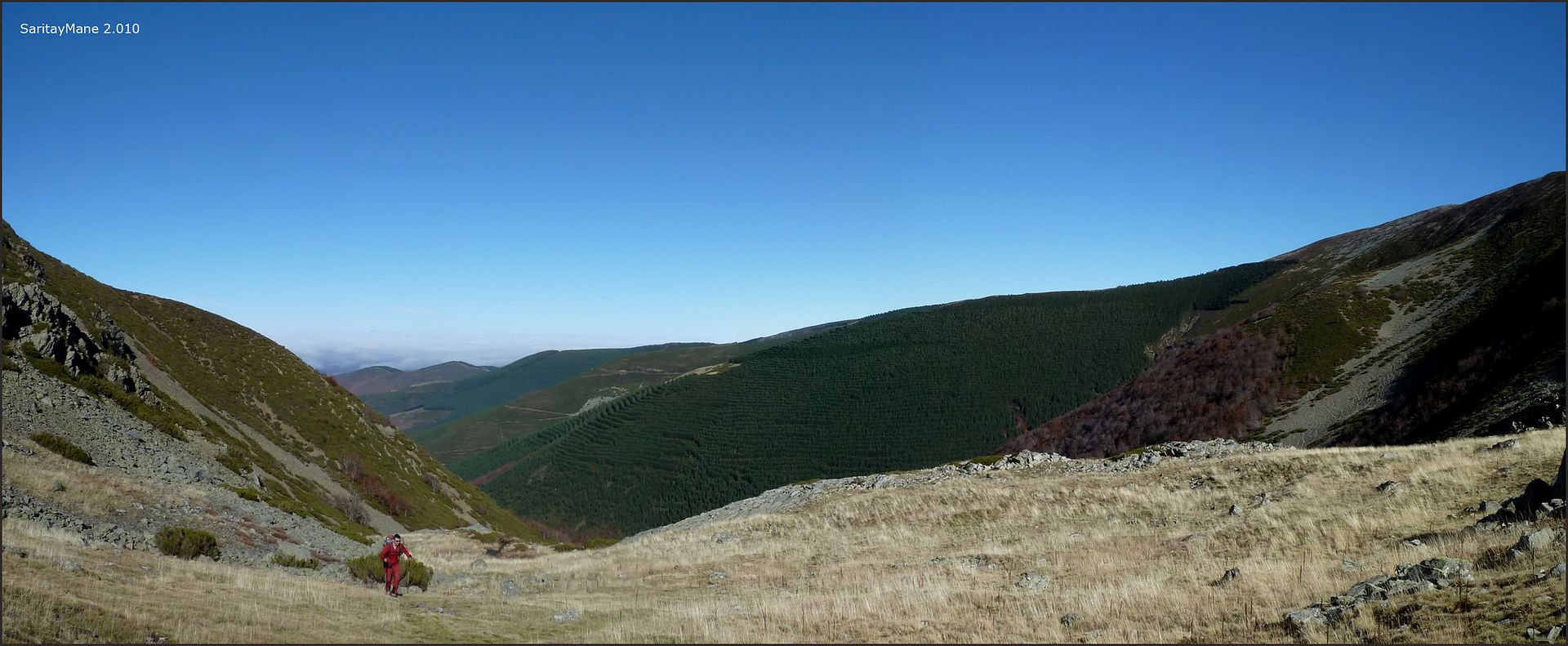
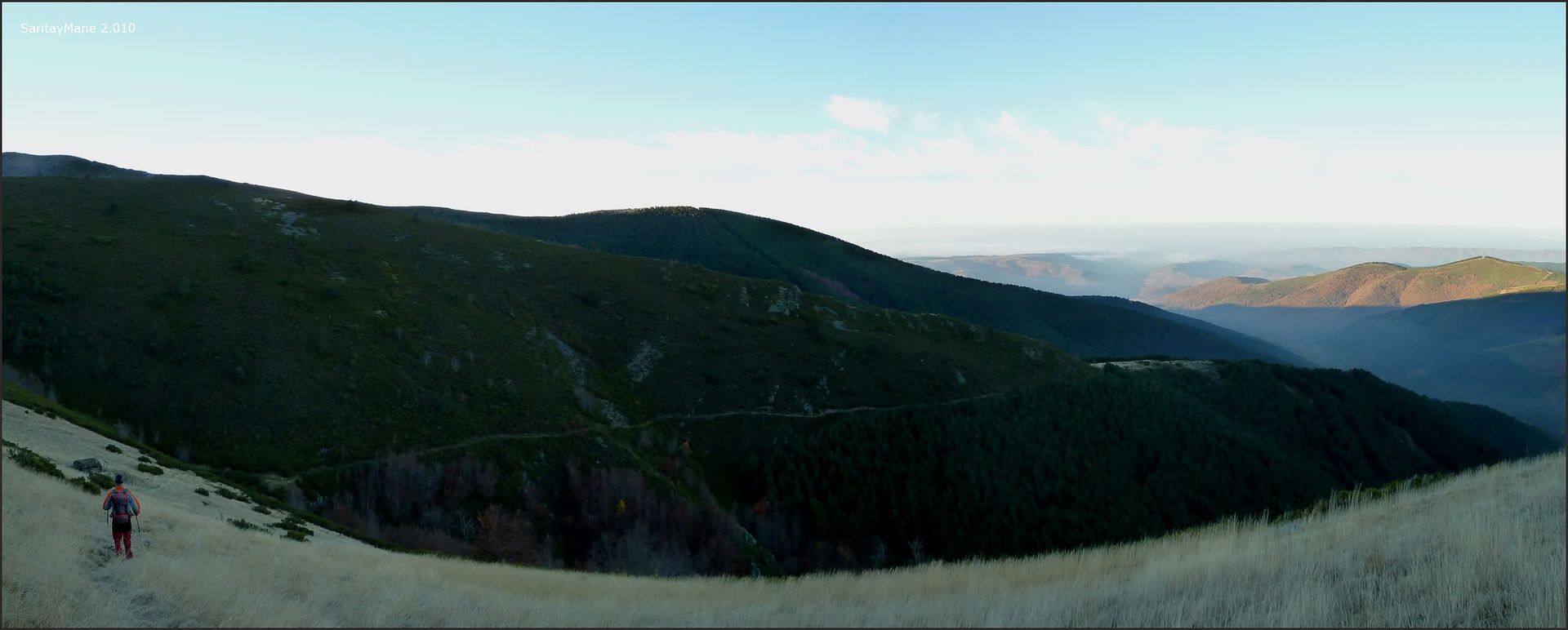
It's 9:50 pm when we say goodbye to this good man, we begin the climb up the forest trail that begins near the recreation area ...
... Urbión parallel to the River ...

... lonely ...

.... We are approaching a fork ...
... to descend here ...
... but now ascend the Valley Urbión ...

... the track has lost ...
... the sun fight with the clouds ...

... a bridge on the road ...
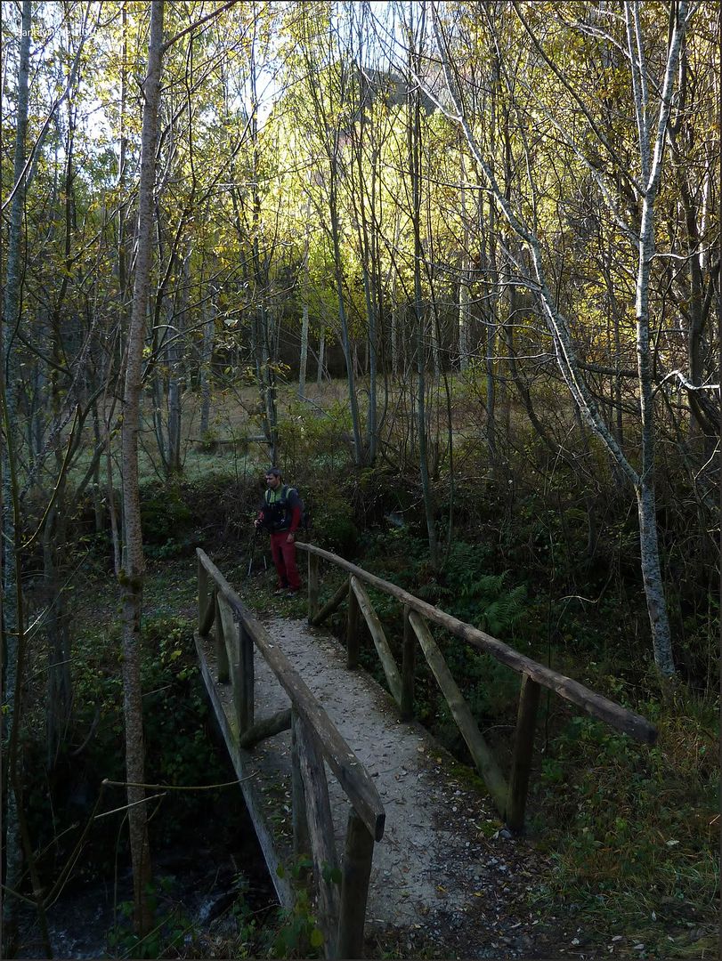
... Cabin Three Waters ....

... Urbión up the valley ...
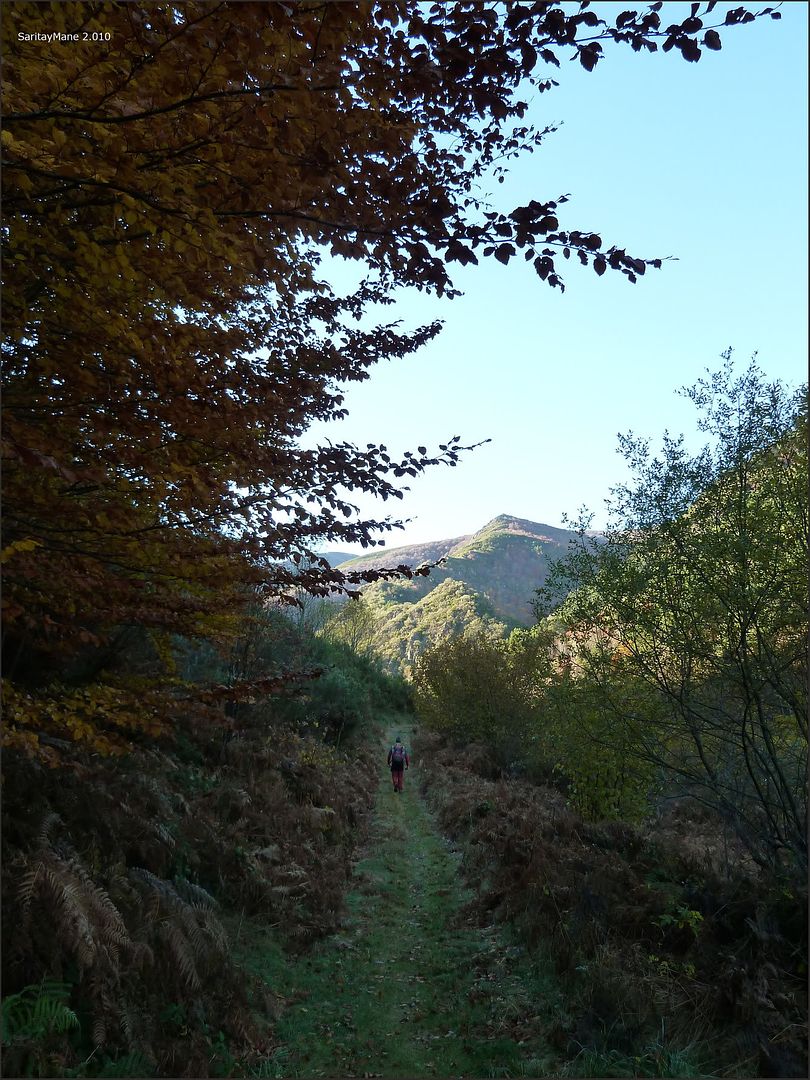
... the dark forest ...
... Beech River near the Urbión ...

... nice walk through Fagus sylvatica ...
... to reach the Slut Hut ...

... where someone is waiting for your time ...
... continue the ascent ...
... Fagus sylvatica admiring ...
... impressive examples ...
... in a beautiful seaside ...
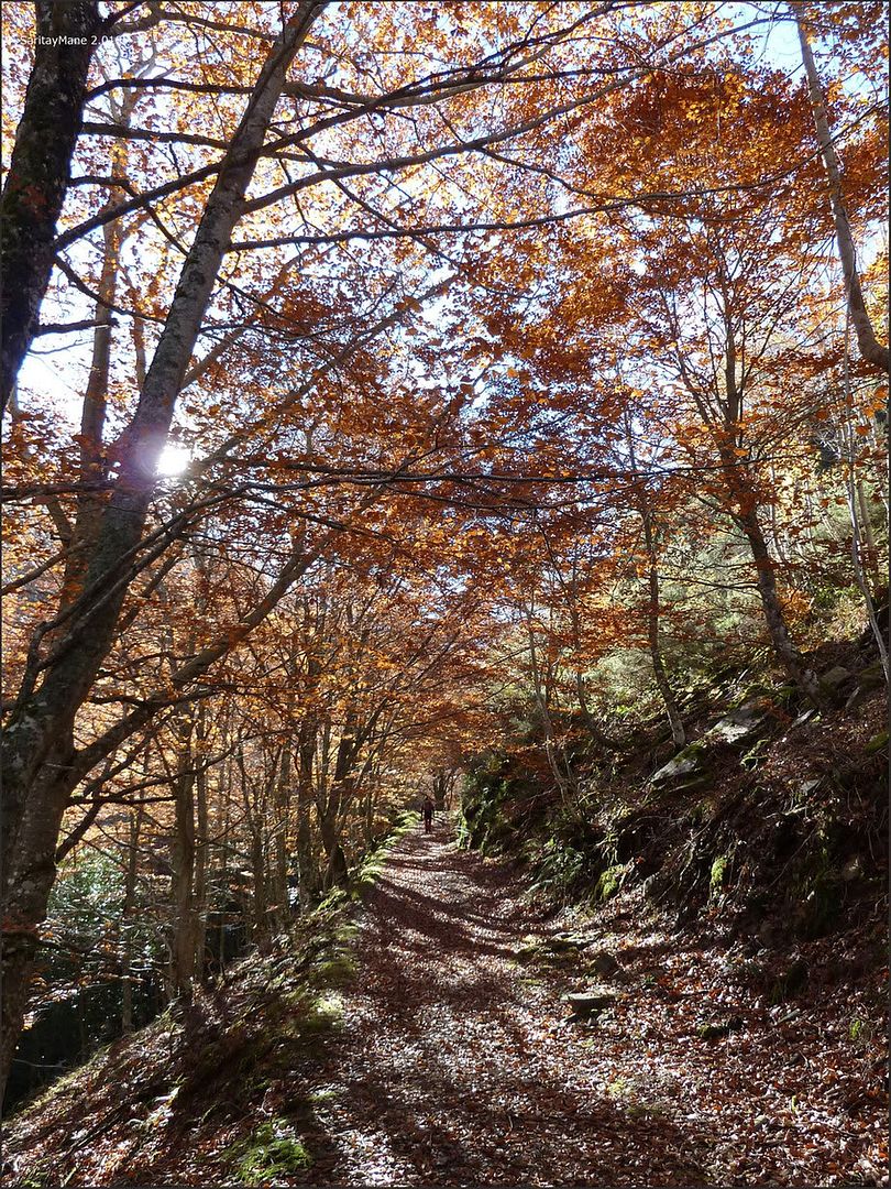
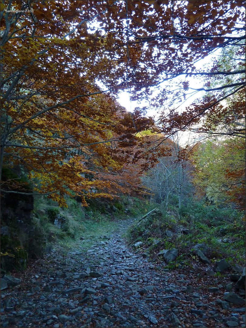
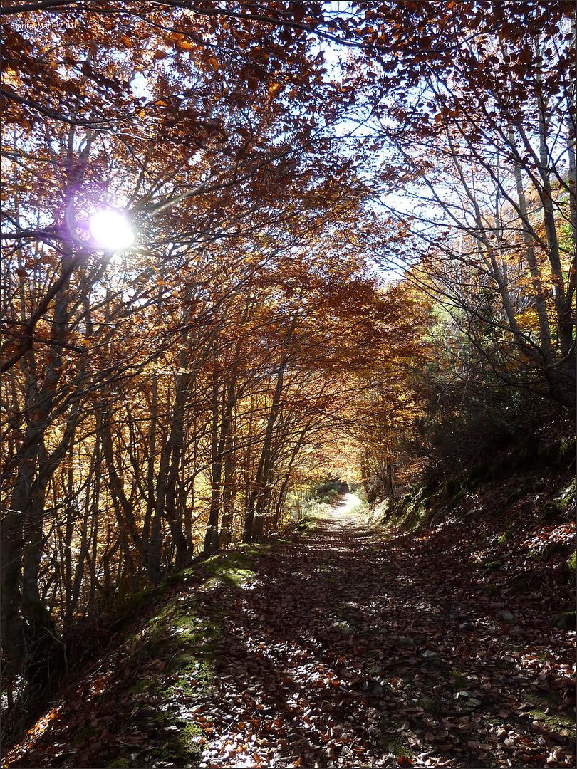
... the path is clear ...

... through the beech ...
... following milestones ...
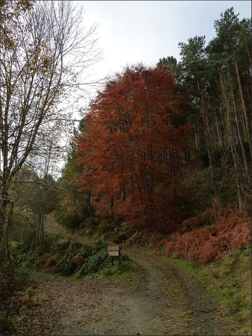
.... Fall colors ...
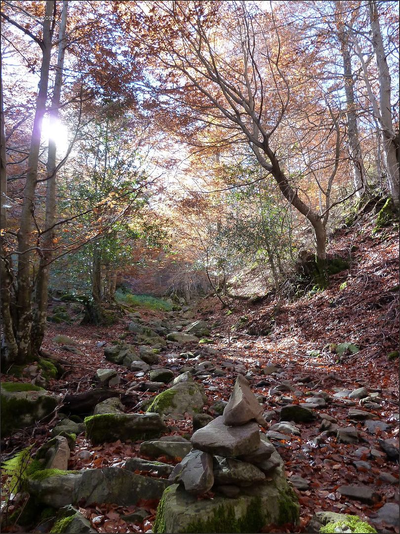
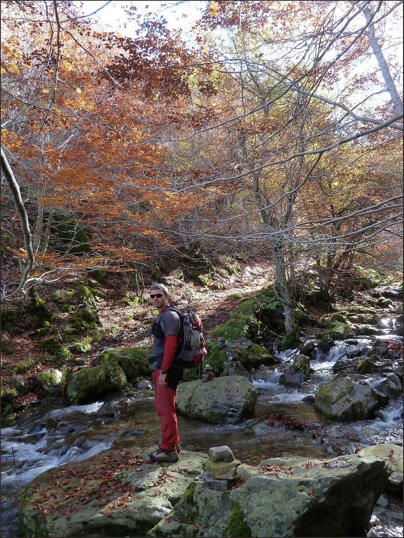
... across the Rio Urbión ...
... climbing up the other side ...
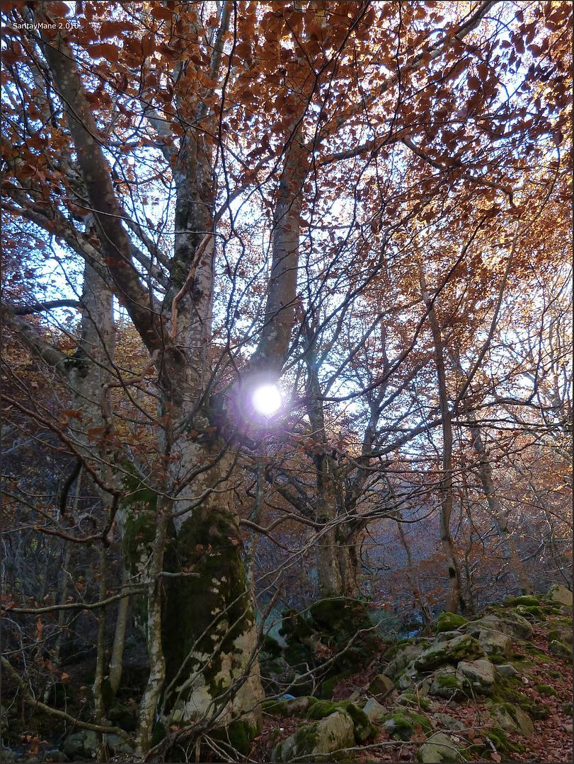
... a corridor between Fagus sylvatica ...
... gaining altitude ...
... blurred the fir ...

... color contrast ...

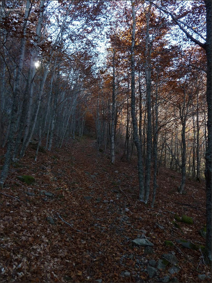
... the beech forest is left behind ...

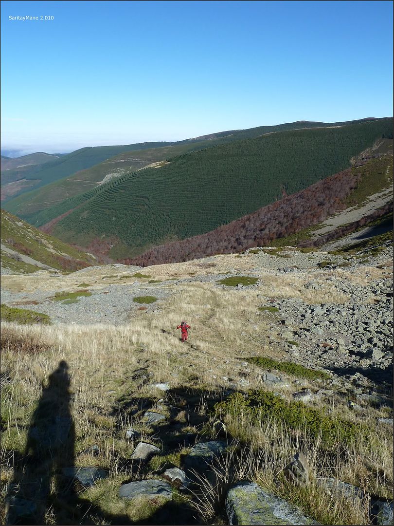
... forward by San Millán Majadas ...

... well-marked ...
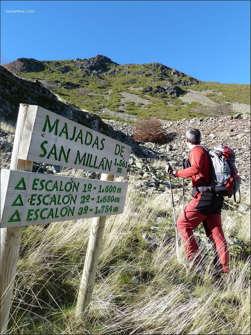
... milestones along easy terrain.

The climb is no problem but the danger is where you least expect it ... Arroyo crossing the foot and the Mayor lost trying to leave as quickly as water, support your right hand on a slippery rock that makes me a wrist flexion of 180 º ... I've seen slow the rotation of my wrist and I do not think this is a simple muscle strain ...
... Well back to hear my screams ... excruciating pain after the initial recovery the calm ... Well I put a sling to take the upper hand, a "600 mg epididymal" I will help soothe the pain a little ...
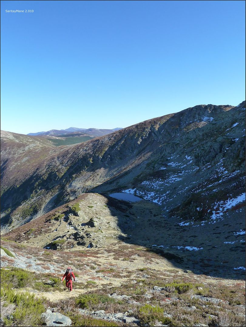
.... after a few minutes analyzing the situation, we are at about 1,600 meters of altitude, wrist hurts and is swollen slightly but ... not so much not to continue, I do not want further down the same slippery road and ford the river again Urbión with this picture ... Mane convince continue the climb up to the ridge of the Sierra Llana from where you descend more safely to the starting point ...
... reorganizing the backpacks before continuing.

are
at 13:05 hours when we set off after the incident thanks to my innate clumsiness, Mane takes all the contents of my backpack so I can climb more easily ... I have not really wanted to take pictures but it forced me to move the fingers of his right hand ...
... saving the first step ...
... the terrain is easy ...
... Looking back ...
... following the traces of path ...
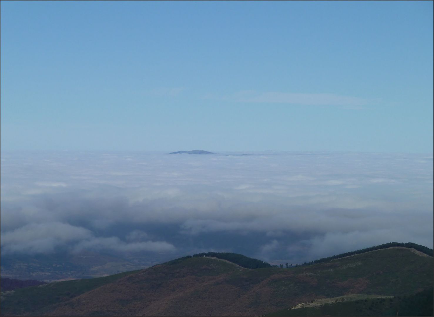
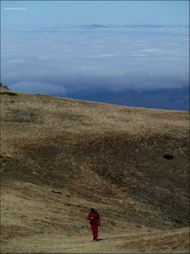
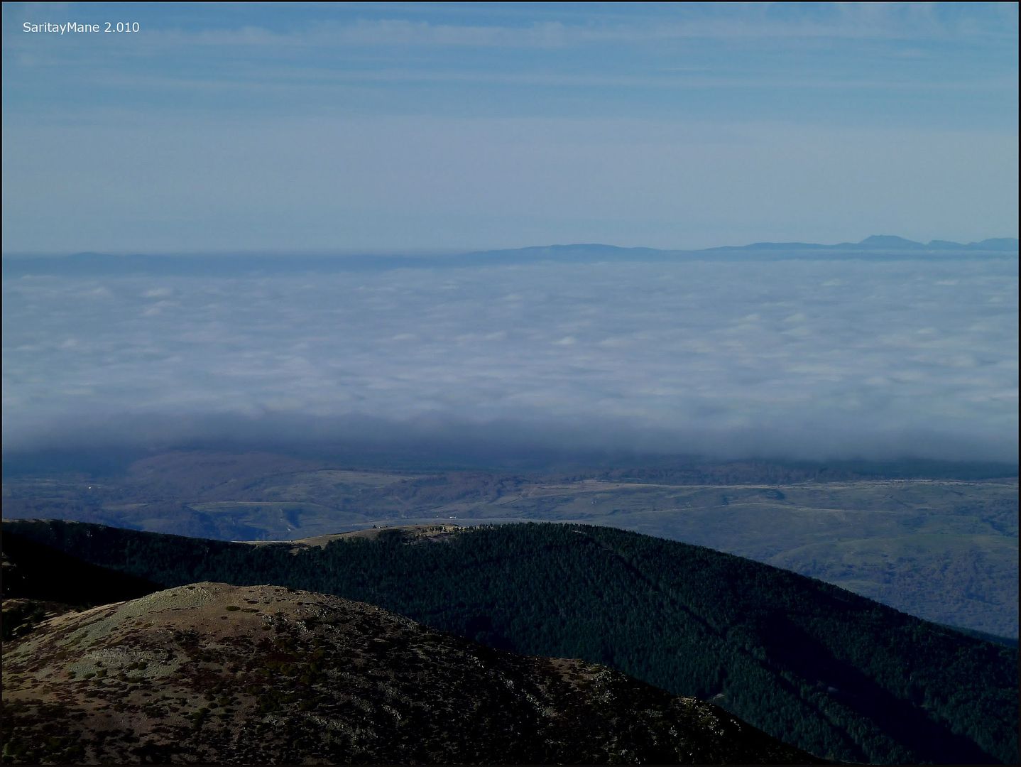
... above the sea of \u200b\u200bclouds ...
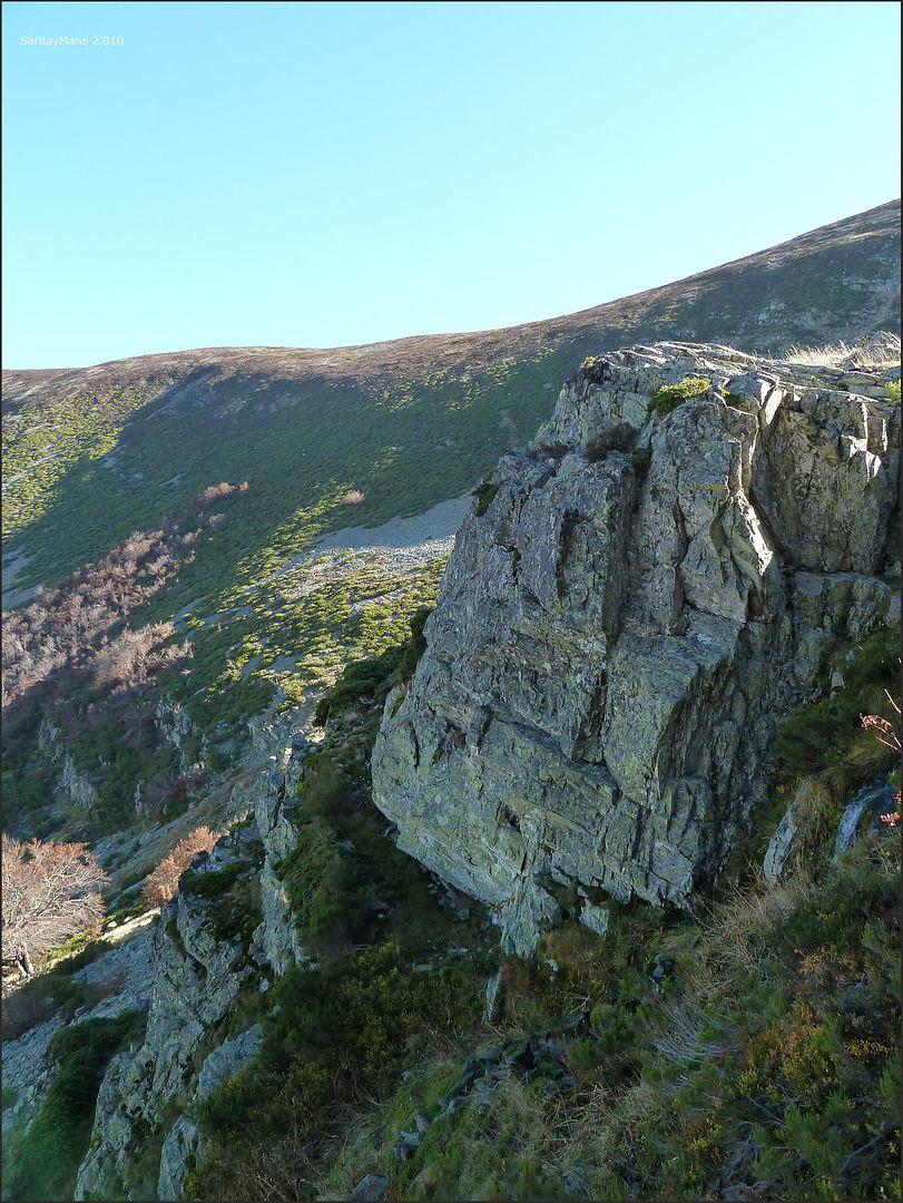
... along this rocky outcrop on the right ...
... Urbión River Valley we have traced ...

... cimero tailpiece nearby ...

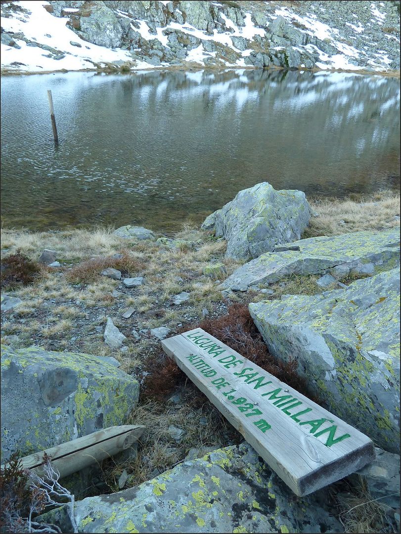
... the height of the Laguna de San Millán ...

... well marked ...
... there we go ...

... reflections on the lake ...

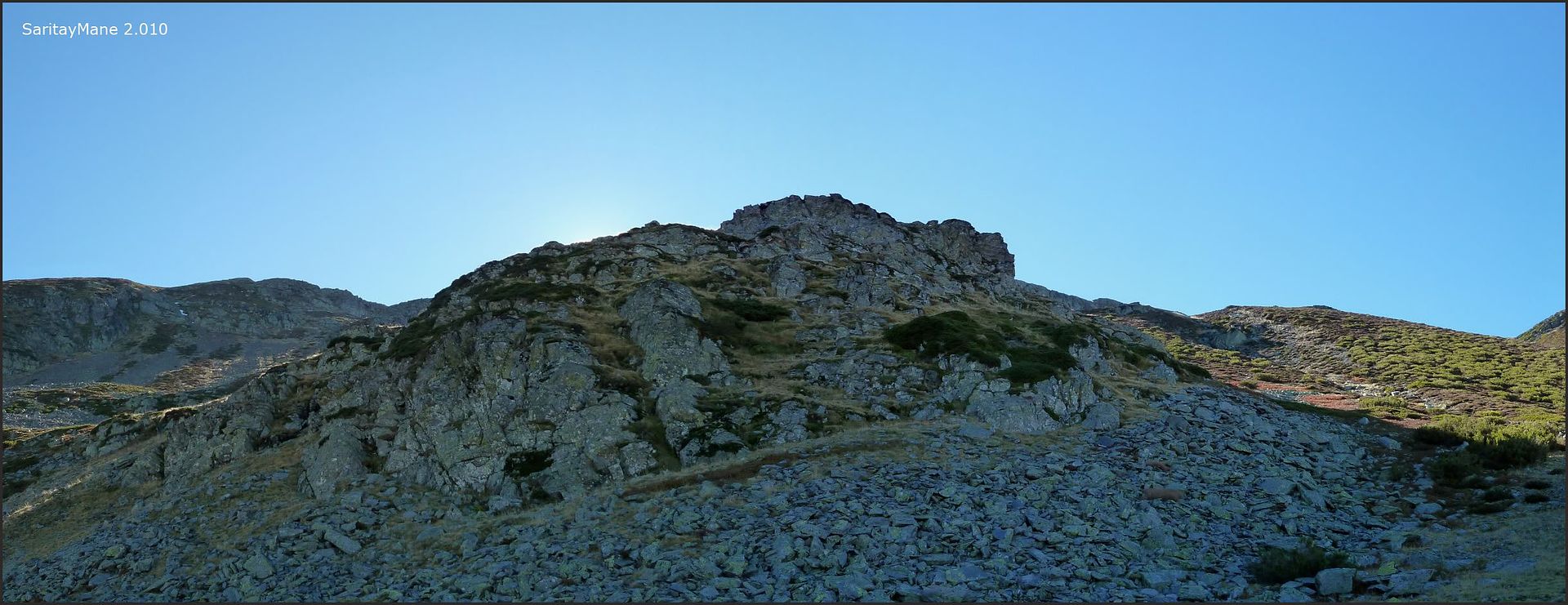
... between sun and shade This cirque ...

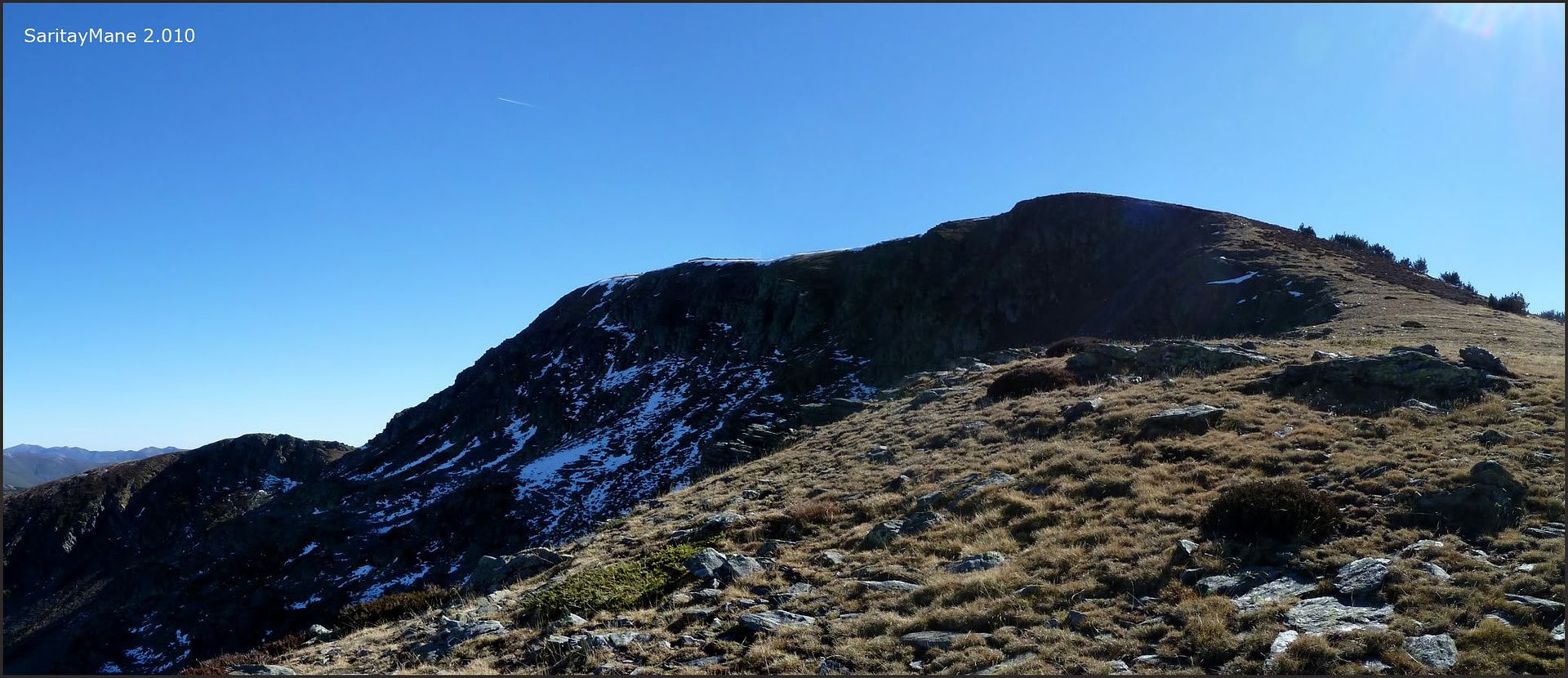
... climbing the North Face of San Millán.

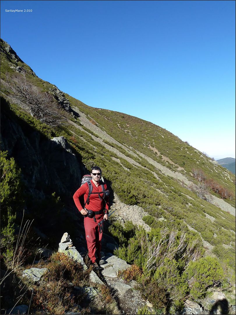
With the arm in a sling and without weight in the backpack I climb comfortably, the "Espidifen" has had its effect and even hand to move it bothers me, it's good to exercise your fingers to prevent swell more ... the slope is accentuated and Mane reminds me that I touched his arm so I detour to the right to reach the ridge by less vertical terrain ...
... a view from here ...
... Mane closely follows me ...
... enjoying the view ...

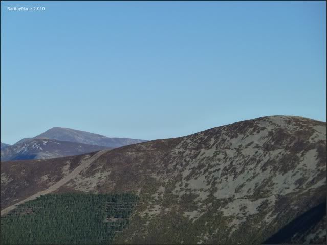
... North Face of San Millán ...

... the end of the difficulties are coming ...

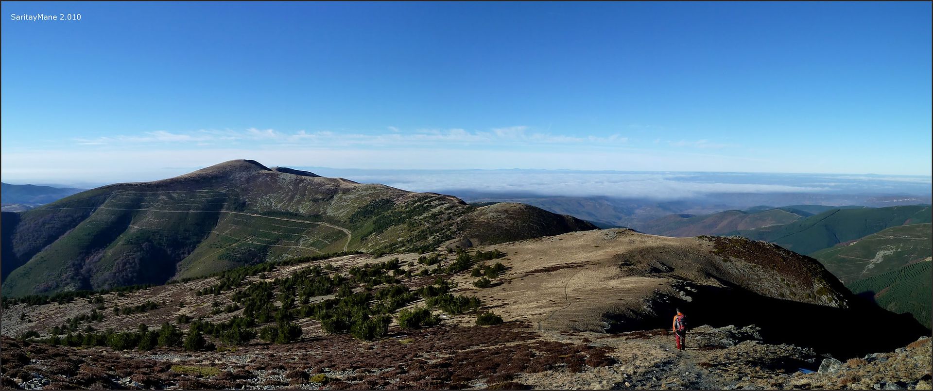
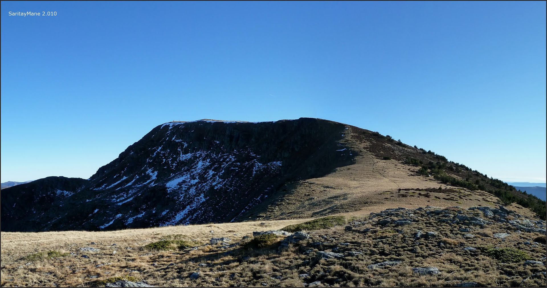
... the Sierra Llana finally ...
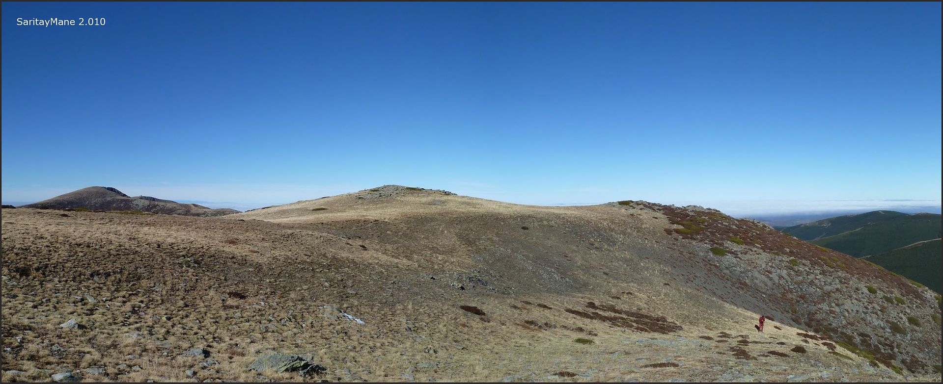
... San Millán at hand ... :)
And never better ... since we are here we will not promote him go without further pain and swelling does not go over so we headed to the top ...
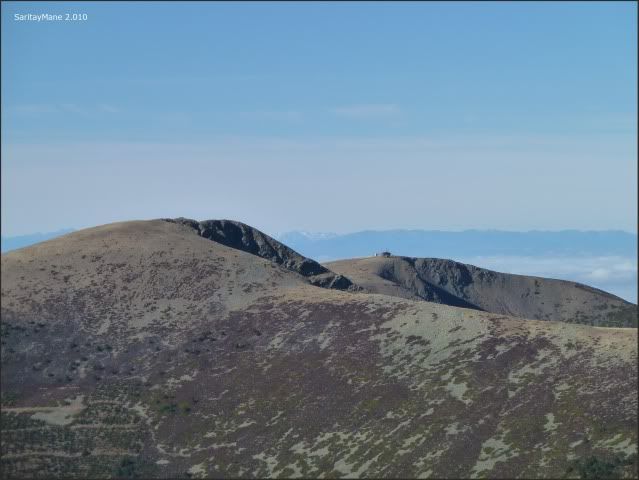
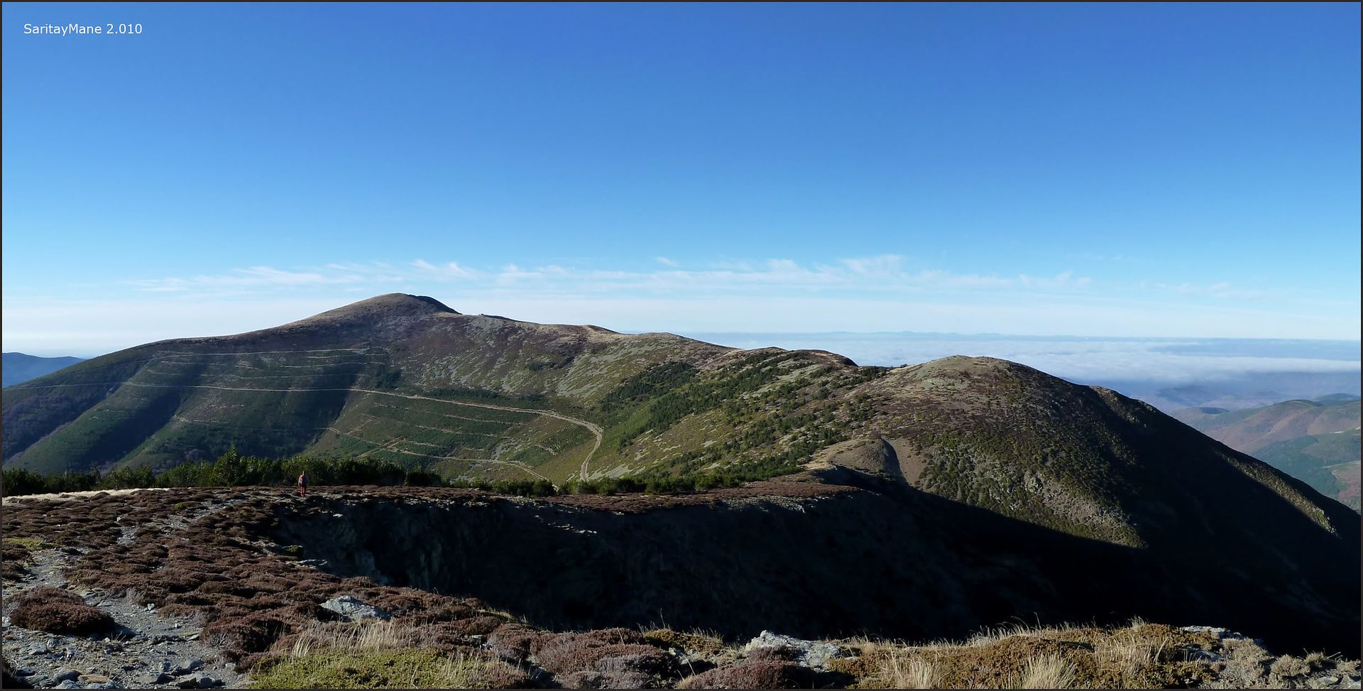
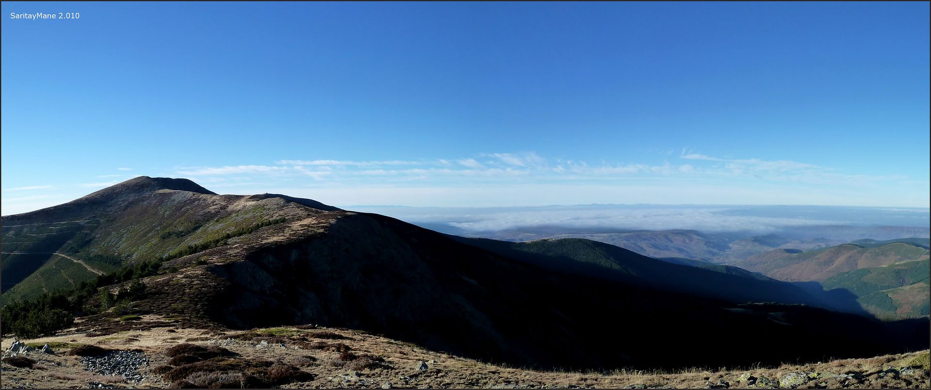
... the peak or peaks of Trigaza ...

... Mane is entertaining ...

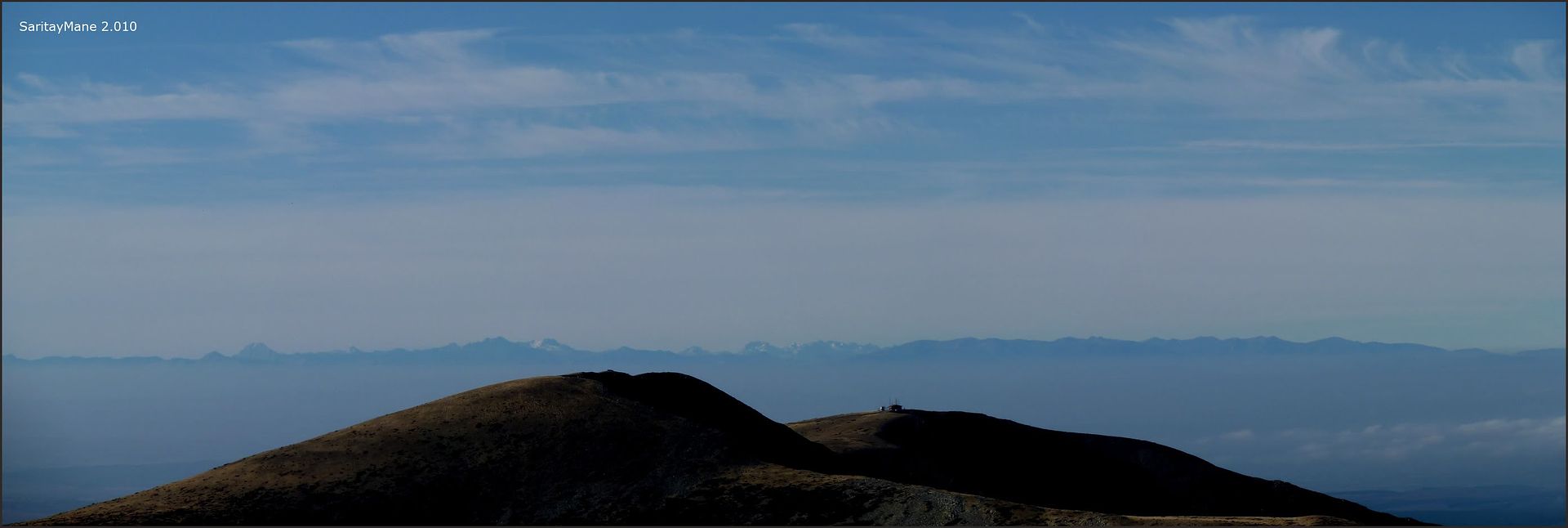
... with the sea of \u200b\u200bclouds in the background ...
... at all times ...
... San Lorenzo appears on the scene ...

... beautiful views ...
... very near the top ...

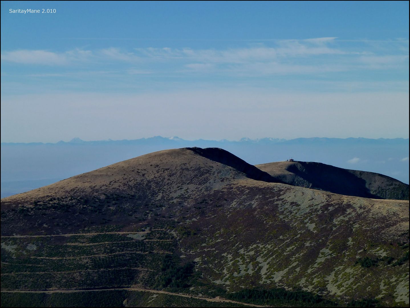
... North and South Trigaza to zoom ...
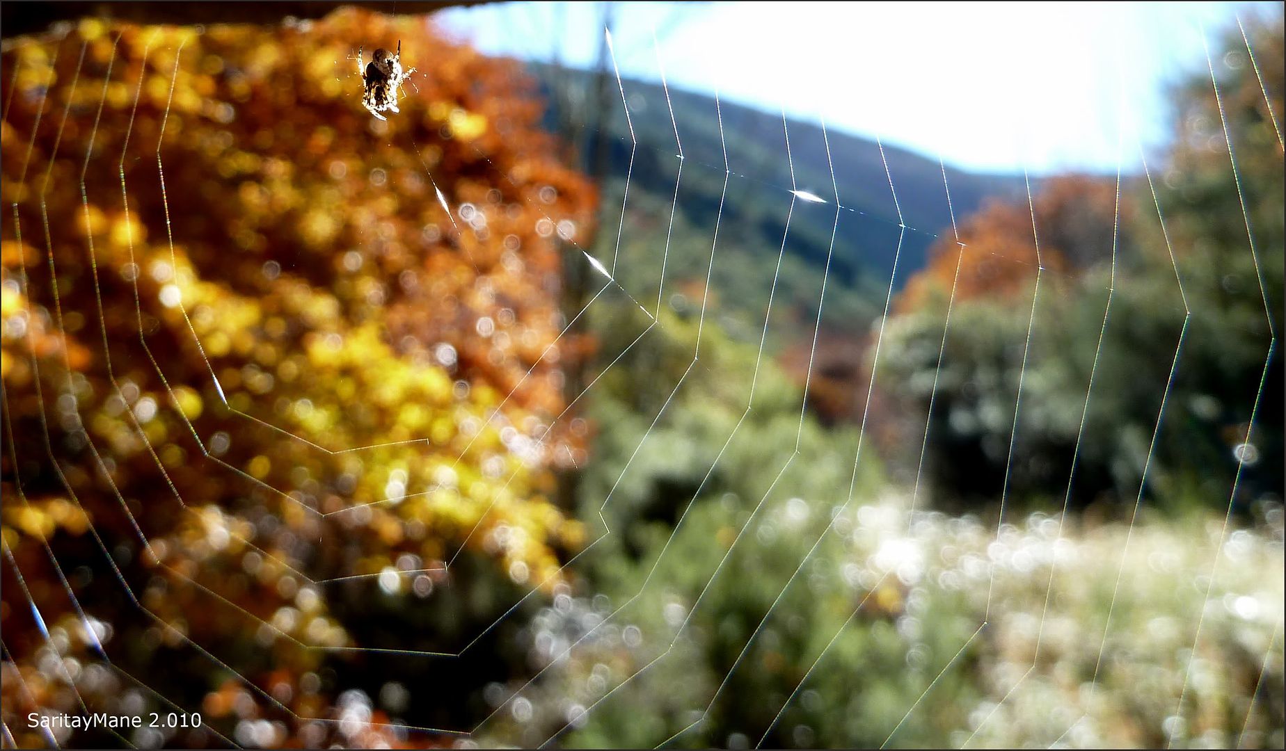
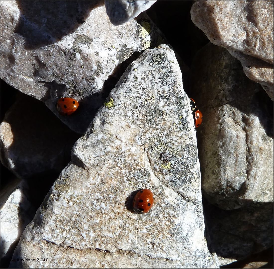
... multiple seven-spot ladybird (Coccinella septempunctata ) On the road ...
... River Valley Urbión for which we have promoted ...

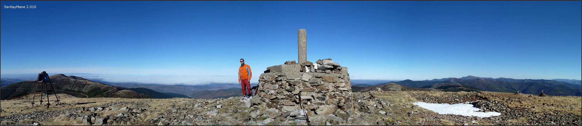
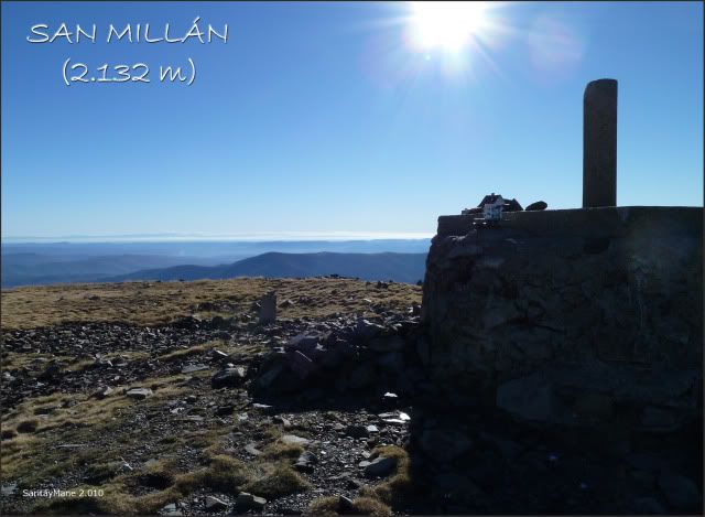
... to reach the highest point of the province of Burgos ...

... where there is a little birth ...

... the rough at the top ...
... an overview to the West, with San Lorenzo ...
... and another near the apex.
Are
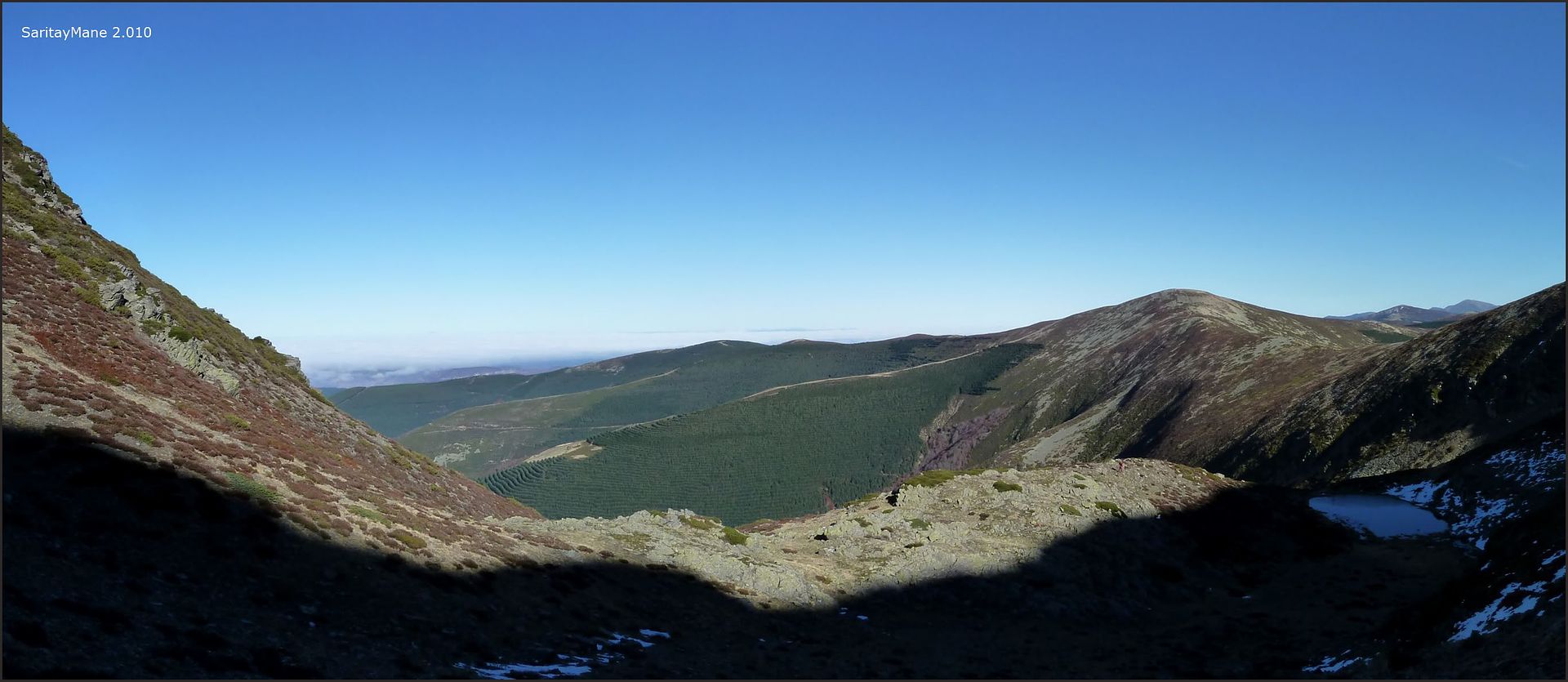
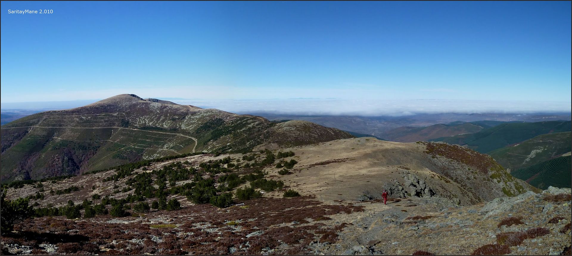
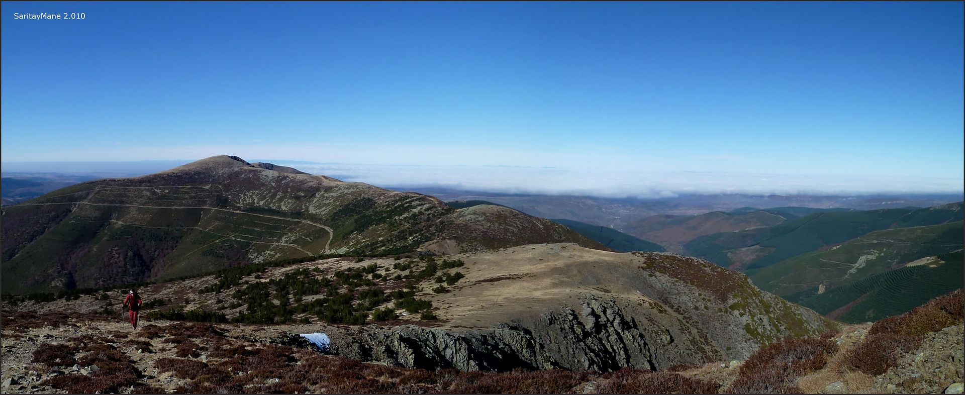
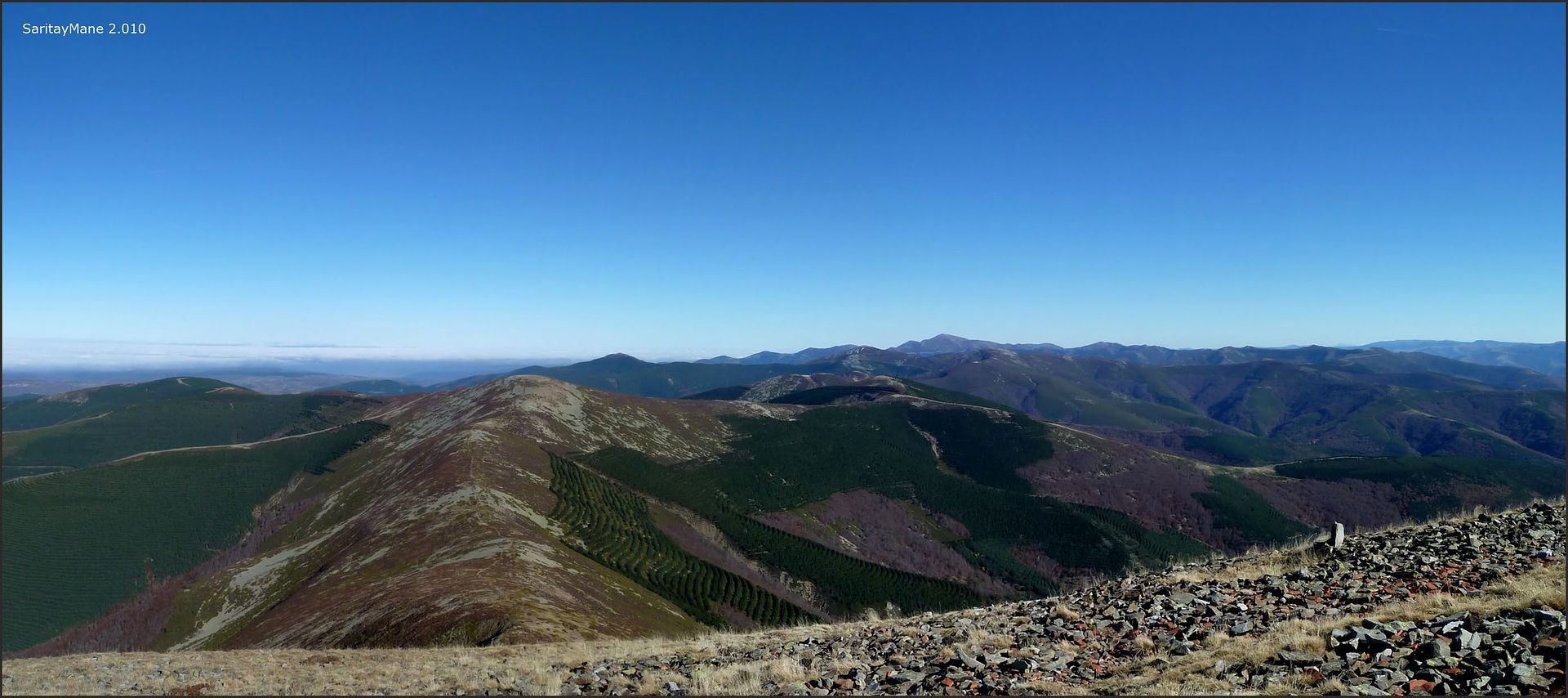
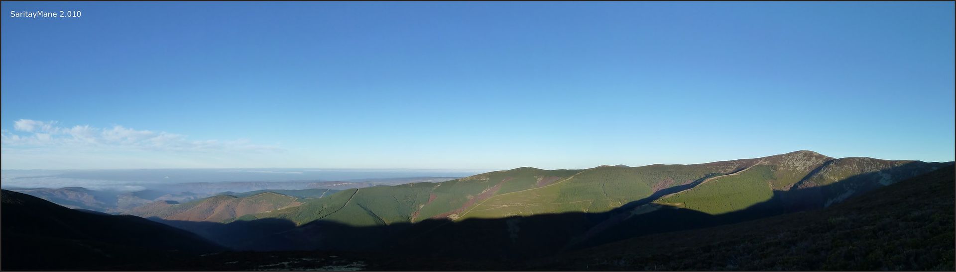
14:20 pm We took a little over 4 hours to reach despite setbacks ... temperature is unbeatable at the top for what we do a long stop for a snack and enjoy the views from this vantage point, not in vain San Millán, besides being the highest point of the province of Burgos, is the second summit in importance in the Sierra de la Demanda after the nearby San Lorenzo ...
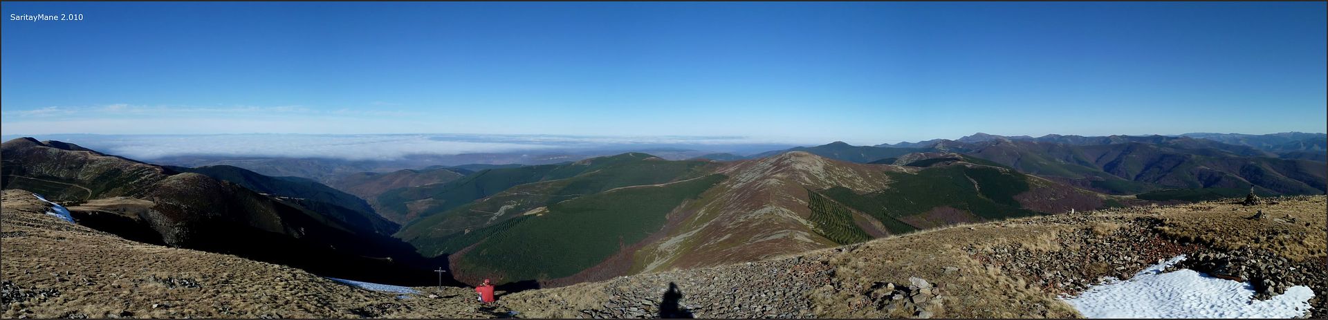
... Urbión River Valley to the north ...

... now in panoramic ...
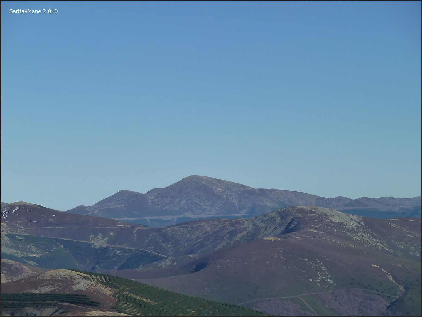
... San Lorenzo, roof of La Rioja, with the zoom ...
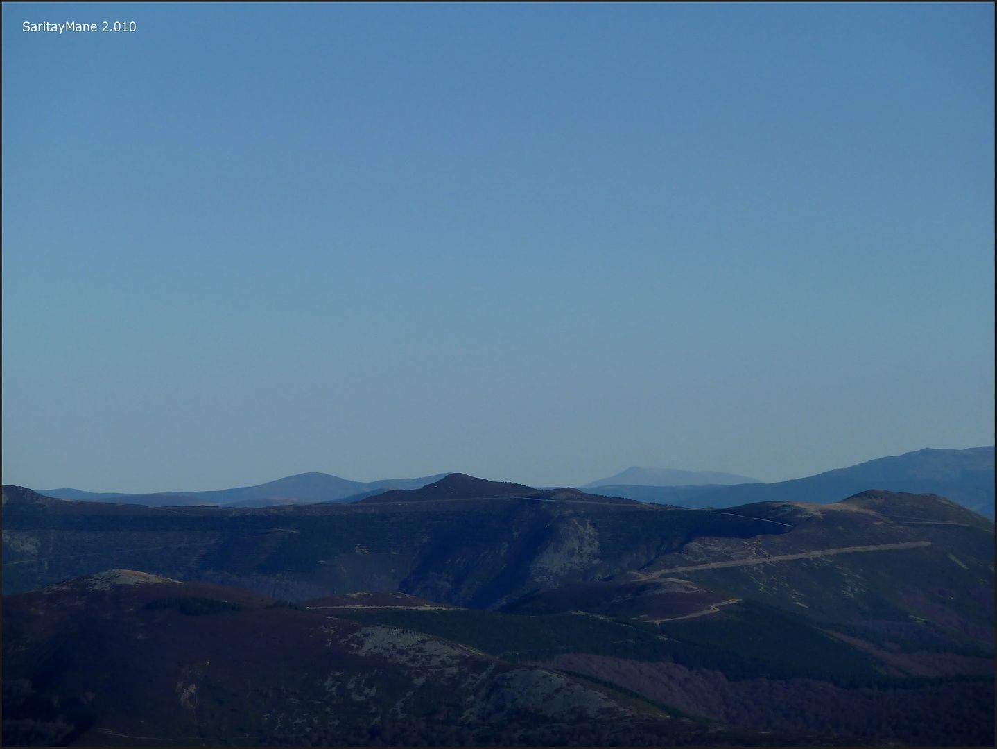
... the distant Sierra de Ayllón is sensed to the south ...

... some known after Trigaza ...
... sea \u200b\u200bof \u200b\u200bclouds ...
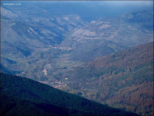
... and Santa Cruz del Valle Urbión ...
... North.
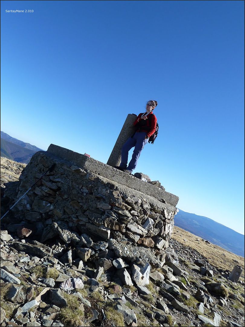
Top of San Millán (2132 m).
Before leaving, talking animatedly with the only climber who has reached the peak during this time, the area and after we come to Madrid tell us identify some of the peaks that surround us and shows us where we must descend from the ridge without having to reach Trigaza, thank you very much from here ...
... North Gorbeia, ceiling Arava and Biscay ...

... the Cantabrian Mountains to the NW ...
... LOBO PEAK and three provinces along the Port of Somosierra south ...

... Pico Urbión ...
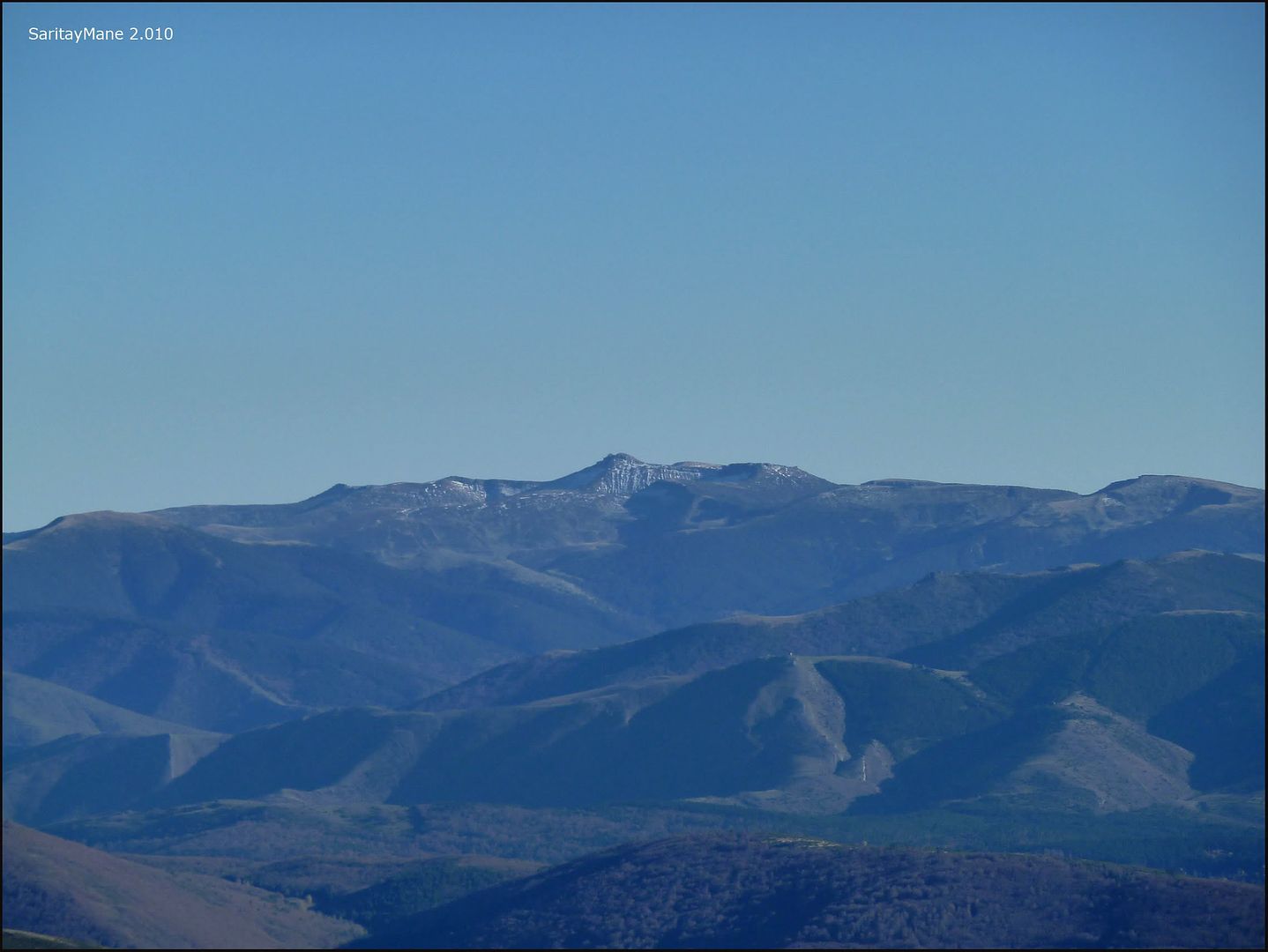
... and MONCAYO , roof of the Iberian and Soria and Zaragoza.
Enjoying the view we spent the time flying, we bid farewell to our fellow summit and began our descent at 16:00 pm, arrive at night knowing that the car ...
... crossing the ridge by which we ascended ...

... is difficult not to entertain ...

... we said goodbye to the top ...

... Trigaza chairs the fall ...
... lonely path ...

... coming down from San Millán ...
... advance by the Sierra Llana ...
... very close to the hill ...

... softwood and hardwood ...
... Aguilez head to the East ...

... Collado up to the arrow ...

... San Millán is left behind ...

... rising again ...

... Well come on ...

... as I approached that level, non-denominational ...

... to quickly reach ...

... Cota San Millán from 1,973 meters ...

... the Sierra Llana towards Trigaza ...
... back to the ridge ...

... following the path ...

... Well I expected ...

... Looking back ...
... San Lorenzo again ...
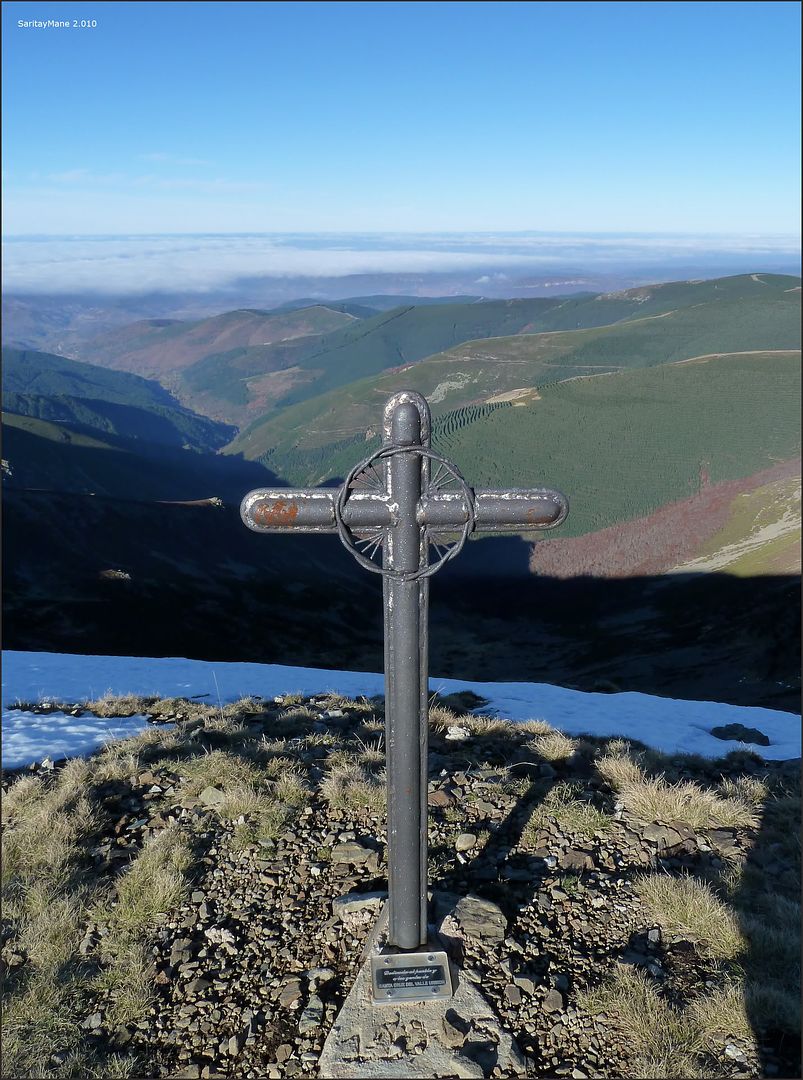
... to reach the signpost ...

... Trigaza is near ... maybe next time ...

... and where we fall.

In the hill prior to Trigazas leave the ridge of the Sierra Llana descending in a northerly direction to find a clear path that will lead to Majada the Rams and the flock of chattering ...
... we said goodbye to the top of the day ...

... between light and shadow ...

... Trigaza to zoom ...

... contrasting colors and textures ...
... the end of the day is coming ...
... recovering the path ...

... Looking back ...

... posing "in flagrante" with the mists of the valley ...

... the path that we must go ...
... a little hut ...

... the fold of Rams ...

... we rush in the fall ...

... at the height of the flock of chattering ...

... walking through the grass ...

... to reach the "top" of the Alto de garrulous ...

... what is left to the point of departure ...

... the sun has gone.

is 18:00 hours but we are not alone in returning at night, a couple who come to visit Burgos Falls Altuzarra, starts decreasing ahead of us in the direction of the recreation area ... before proceeding take the opportunity to enjoy the views from this High of garrulous, top with little relevance but with an exceptional view of the River Valley Urbión ...
... San Millán ...

... modest peaks covered with vegetation.
garrulous Cima del Alto (1,510 m).
continue the descent ...

... the end of another day in the mountains.

A few yards down, to come to a fork, we find the pair of Burgos, are not front and have doubts about the decline ... the fork is a shortcut that falls along the Arroyo de Abanza up to two bridges leading to a slippery track, and I with his arm in a sling ... easy terrain, move at a good pace while chatting with them ...
... posters in the dark ...

... and on the main track near the starting point.

Met Zarcia Recreational Area at 19:00 hours, our fellow relegation kindly offered to guide us to the General Yagüe Hospital Burgos, thank you very much from here ...
... at 20:15 hours in the ER we go ... in just one hour we left the hospital with my right arm in plaster, fracture of the end of the radius near the wrist, luck is a small non-displaced fracture ... 30 days to cast at least ...
The video version of our rugged Ascent of San Millán ...
Part I. ..
20101105_SAN MILLÁN_01 from DANCING WITH SARRIA
Part II ...
from 20101105_SAN MILLÁN_02 DANCING WITH SARRIA
To be continued ...
For other ascents in the Iberian System, click on this link: INDEX SYSTEMS Ascension.
0 comments:
Post a Comment